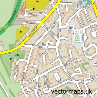
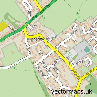
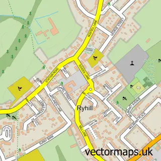
This Shafton street map is a detailed vector street map covering a 750m x 750m area. Select a larger area to create and download your own vector street map of Shafton.
The 750-metre map sample for Shafton covers 584 mapped buildings and approximately 14.0 km of road detail, of which 36 named roads are named. The immediate area includes 1 school, 6 GP surgeries within 2 miles and 10 MOT stations within 2 miles. The wider area around Shafton features 1 food and drink venue. To create a larger or custom map of Shafton, the map builder lets you define your own coverage area and download editable SVG, PDF and PNG files.
Create a larger editable map of Shafton
Choose any area you need and generate a high-quality vector map instantly. Perfect for print, planning, design, business and personal use.

This Shafton street map in South Yorkshire is available as downloadable SVG, PDF and PNG map files, or as a printed map for planning, business, display, education, local information and design work. You can also create a larger custom map area using the map selector.
What this Shafton map sample shows
Shafton lies within Shafton Cp parish, part of North East ward in the Barnsley District (B) local authority area. The postcode geography for this area includes the S postcode area, the S72 postcode district and the S72 8 postcode sector. Residents fall under the Nhs South Yorkshire Integrated Care Board for NHS services.
Local features near Shafton
Within 2 milesAmenities and services in and around Shafton.
Administrative and postcode information for Shafton
Shafton lies within Shafton Cp parish, part of North East ward in the Barnsley District (B) local authority area. The postcode geography for this area includes the S postcode area, the S72 postcode district and the S72 8 postcode sector. Residents fall under the Nhs South Yorkshire Integrated Care Board for NHS services.
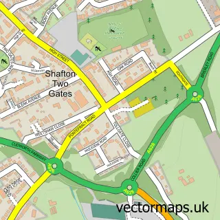
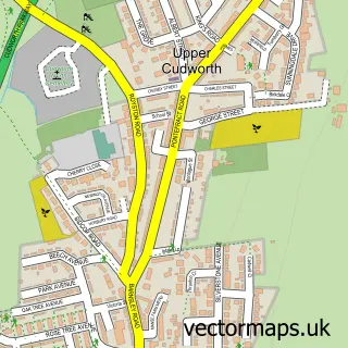
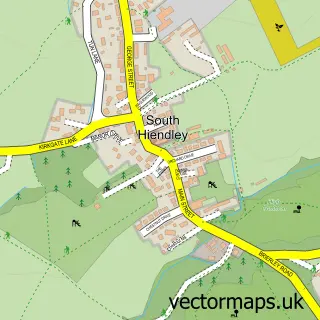
Nearby street map samples around Shafton

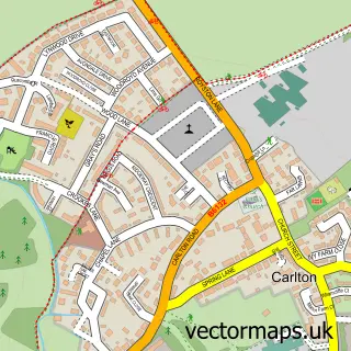
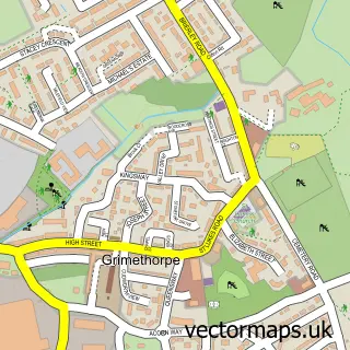
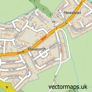
More street maps in South Yorkshire
750 metre map area coverage
Boundary, postcode and point of interest information for the 750m x 750m rectangle centred on this sample map.
Boundaries containing map centre
Constituency: Barnsley North Co Const
District: Barnsley District (B)
Icb: NHS South Yorkshire ICB
Parish: Shafton CP
Police Force: south yorkshire
Postcode District: S72
Postcode Sector: S72 8
Ward: North East Ward
Nearby boundaries intersecting sample
Ward: Cudworth Ward
Postcode coverage
POI category counts
Convenience Store: 2
Hair Salon: 2
Korean Grocery Store: 2
Photographer: 2
Airport: 1
Beauty And Spa: 1
Beauty Salon: 1
Boxing Class: 1
Butcher Shop: 1
Coffee Shop: 1
Sample points of interest
- Shafton Airport
- Gentle Aesthetics
- The Booth
- Four Corners Boxing Gym
- Haslehurst Butchers
- Corners Blend & Brew
- RnR Locksmiths
- Premier
- Premier Shafton Stores
- Shafton Surgery
- Luv My Pet
- Shafton Pharmacy
Create a larger editable map of Shafton
This sample shows only a 750 metre area. To create a larger map of Shafton, use our map builder to choose your own coverage area, add titles and download editable SVG, PDF and PNG files.
Create a custom map of Shafton