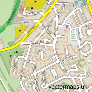
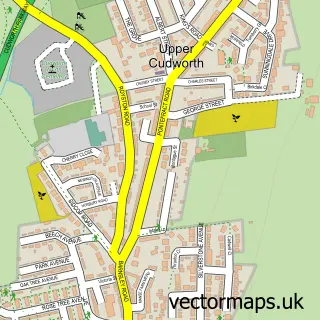
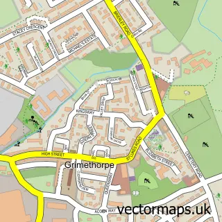
This Ardsley street map is a detailed vector street map covering a 750m x 750m area. Select a larger area to create and download your own vector street map of Ardsley.
The 750-metre map sample for Ardsley covers 436 mapped buildings and approximately 13.8 km of road detail, of which 31 named roads are named. The immediate area includes 6 GP surgeries within 2 miles and 20 MOT stations within 2 miles. The wider area around Ardsley features 1 hotel. To create a larger or custom map of Ardsley, the map builder lets you define your own coverage area and download editable SVG, PDF and PNG files.
Create a larger editable map of Ardsley
Choose any area you need and generate a high-quality vector map instantly. Perfect for print, planning, design, business and personal use.

This Ardsley street map in South Yorkshire is available as downloadable SVG, PDF and PNG map files, or as a printed map for planning, business, display, education, local information and design work. You can also create a larger custom map area using the map selector.
What this Ardsley map sample shows
Ardsley lies within Barnsley District (B) parish, part of Stairfoot ward in the Barnsley District (B) local authority area. The postcode geography for this area includes the S postcode area, the S71 postcode district and the S71 5 postcode sector. Residents fall under the Nhs South Yorkshire Integrated Care Board for NHS services.
Local features near Ardsley
Within 2 milesAmenities and services in and around Ardsley.
Administrative and postcode information for Ardsley
The local authority covering Ardsley is Barnsley District (B), within the county of South Yorkshire. The settlement lies within Stairfoot ward and Barnsley District (B) civil parish. The S71 postcode district and S71 5 postcode sector serve the immediate area. NHS provision in the area is delivered through Barnsley Hospital Nhs Foundation Trust.
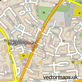
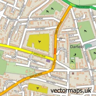
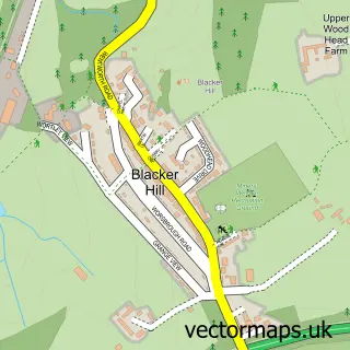
Nearby street map samples around Ardsley

More street maps in South Yorkshire
750 metre map area coverage
Boundary, postcode and point of interest information for the 750m x 750m rectangle centred on this sample map.
Boundaries containing map centre
Constituency: Barnsley South Co Const
District: Barnsley District (B)
Icb: NHS South Yorkshire ICB
Police Force: south yorkshire
Postcode District: S71
Postcode Sector: S71 5
Ward: Stairfoot Ward
Nearby boundaries intersecting sample
No additional intersecting boundaries found.
Postcode coverage
POI category counts
Professional Services: 3
Anglican Church: 2
Beauty And Spa: 2
Beauty Salon: 2
Furniture Store: 2
Building Supply Store: 1
Cemeteries: 1
Church Cathedral: 1
Contractor: 1
Driving School: 1
Sample points of interest
- Children and Families at Christ Church Ardsley
- Christ Church
- Aura Spa Lodge
- barbieboutique31
- Paige Oldham Hair Design
- Wink
- DSW Electrical
- Barnsley Crematorium
- Ardsley Christ Church
- Admiral Surfacing
- Adele Burton Driver Training
- Earlsmere Independent Financial Advisers
Create a larger editable map of Ardsley
This sample shows only a 750 metre area. To create a larger map of Ardsley, use our map builder to choose your own coverage area, add titles and download editable SVG, PDF and PNG files.
Create a custom map of Ardsley