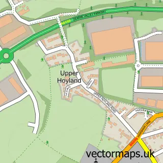
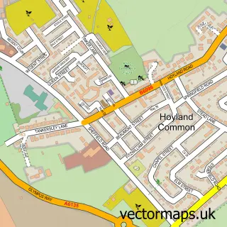
This Worsbrough street map is a detailed vector street map covering a 750m x 750m area. Select a larger area to create and download your own vector street map of Worsbrough.
The 750-metre map sample for Worsbrough covers 613 mapped buildings and approximately 23.1 km of road detail, of which 65 named roads are named. The immediate area includes 1 school, 8 GP surgeries within 2 miles, 1 pub and 1 MOT station, with 27 within 2 miles. The wider area around Worsbrough features 2 food and drink venues and 1 hotel. To create a larger or custom map of Worsbrough, the map builder lets you define your own coverage area and download editable SVG, PDF and PNG files.
Create a larger editable map of Worsbrough
Choose any area you need and generate a high-quality vector map instantly. Perfect for print, planning, design, business and personal use.

This Worsbrough street map in South Yorkshire is available as downloadable SVG, PDF and PNG map files, or as a printed map for planning, business, display, education, local information and design work. You can also create a larger custom map area using the map selector.
What this Worsbrough map sample shows
Worsbrough lies within Barnsley District (B) parish, part of Worsbrough ward in the Barnsley District (B) local authority area. The postcode geography for this area includes the S postcode area, the S70 postcode district and the S70 5 postcode sector. Residents fall under the Nhs South Yorkshire Integrated Care Board for NHS services.
Local features near Worsbrough
Within 2 milesAmenities and services in and around Worsbrough.
Administrative and postcode information for Worsbrough
Worsbrough lies within Barnsley District (B) parish, part of Worsbrough ward in the Barnsley District (B) local authority area. The postcode geography for this area includes the S postcode area, the S70 postcode district and the S70 5 postcode sector. Residents fall under the Nhs South Yorkshire Integrated Care Board for NHS services.
Nearby street map samples around Worsbrough
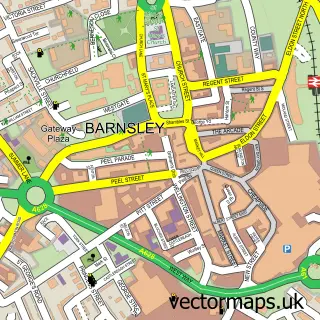

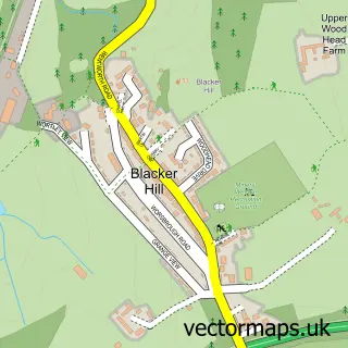
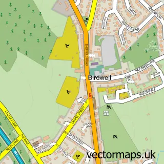
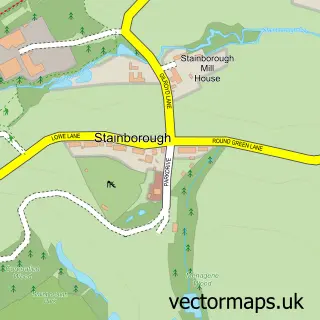
More street maps in South Yorkshire
750 metre map area coverage
Boundary, postcode and point of interest information for the 750m x 750m rectangle centred on this sample map.
Boundaries containing map centre
Constituency: Barnsley South Co Const
District: Barnsley District (B)
Icb: NHS South Yorkshire ICB
Police Force: south yorkshire
Postcode District: S70
Postcode Sector: S70 5
Ward: Worsbrough Ward
Nearby boundaries intersecting sample
Postcode Sector: S70 4
Postcode coverage
POI category counts
Beauty Salon: 4
Hair Salon: 4
Bakery: 2
Bicycle Shop: 2
Convenience Store: 2
Dentist: 2
E Cigarette Store: 2
Engineering Services: 2
Anglican Church: 1
Appliance Repair Service: 1
Sample points of interest
- St Thomas and St James
- Bernards Domestic Appliance Repairs Barnsley/Rotherham Area
- Adept Auto Services
- White's Bakery
- Whites Bakery
- Barrow WMC
- Goviers Barbers Shop
- Lotus Beauty & Holistics
- Courtney Jay Hair
- Sparkle & Gems Nail by Yvonne
- The Louska Beauty Clinic
- Unique hair & beauty
Create a larger editable map of Worsbrough
This sample shows only a 750 metre area. To create a larger map of Worsbrough, use our map builder to choose your own coverage area, add titles and download editable SVG, PDF and PNG files.
Create a custom map of Worsbrough