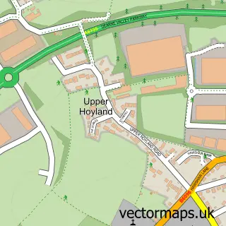
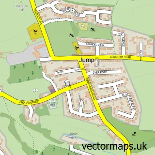
This Birdwell street map is a detailed vector street map covering a 750m x 750m area. Select a larger area to create and download your own vector street map of Birdwell.
The 750-metre map sample for Birdwell covers 345 mapped buildings and approximately 12.6 km of road detail, of which 23 named roads are named. The immediate area includes 1 school, 3 GP surgeries within 2 miles, 2 pubs and 1 MOT station, with 9 within 2 miles. The wider area around Birdwell features 1 tourism point of interest and 3 food and drink venues. To create a larger or custom map of Birdwell, the map builder lets you define your own coverage area and download editable SVG, PDF and PNG files.
Create a larger editable map of Birdwell
Choose any area you need and generate a high-quality vector map instantly. Perfect for print, planning, design, business and personal use.

This Birdwell street map in South Yorkshire is available as downloadable SVG, PDF and PNG map files, or as a printed map for planning, business, display, education, local information and design work. You can also create a larger custom map area using the map selector.
What this Birdwell map sample shows
Birdwell lies within Barnsley District (B) parish, part of Rockingham ward in the Barnsley District (B) local authority area. The postcode geography for this area includes the S postcode area, the S70 postcode district and the S70 5 postcode sector. Residents fall under the Nhs South Yorkshire Integrated Care Board for NHS services.
Local features near Birdwell
Within 2 milesAmenities and services in and around Birdwell.
Administrative and postcode information for Birdwell
Birdwell lies within Barnsley District (B) parish, part of Rockingham ward in the Barnsley District (B) local authority area. The postcode geography for this area includes the S postcode area, the S70 postcode district and the S70 5 postcode sector. Residents fall under the Nhs South Yorkshire Integrated Care Board for NHS services.
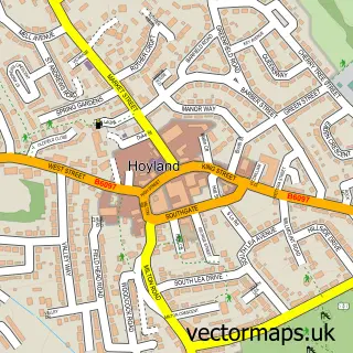
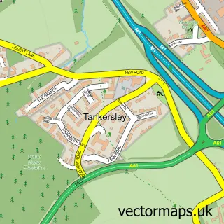
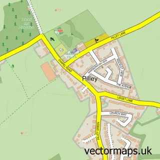
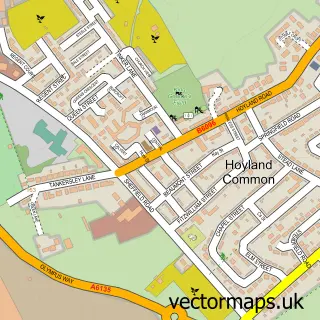
Nearby street map samples around Birdwell

More street maps in South Yorkshire
750 metre map area coverage
Boundary, postcode and point of interest information for the 750m x 750m rectangle centred on this sample map.
Boundaries containing map centre
Constituency: Barnsley South Co Const
District: Barnsley District (B)
Icb: NHS South Yorkshire ICB
Police Force: south yorkshire
Postcode District: S70
Postcode Sector: S70 5
Ward: Rockingham Ward
Nearby boundaries intersecting sample
Constituency: Penistone and Stocksbridge Co Const
Parish: Tankersley CP
Ward: Penistone East Ward
Postcode coverage
POI category counts
Automotive Repair: 3
Convenience Store: 3
Hair Salon: 3
Barber: 2
Beauty And Spa: 2
Beauty Salon: 2
Elementary School: 2
Pub: 2
Real Estate Agent: 2
Shipping Center: 2
Sample points of interest
- Advance Private Hire
- Serendipity Crafts
- SGN Ltd - Hilltop SS , Birdwell
- CM Auto repair centre
- Carbon Auto Service
- Jumbo Self Drive Limited
- Beardy's Barber Shop & Ladies Salon
- Mark Webster's Gentlemen's Barber Shop
- Beauty By Hannah
- Elements Barnsley
- Distinct
- Gibbs&Co
Create a larger editable map of Birdwell
This sample shows only a 750 metre area. To create a larger map of Birdwell, use our map builder to choose your own coverage area, add titles and download editable SVG, PDF and PNG files.
Create a custom map of Birdwell