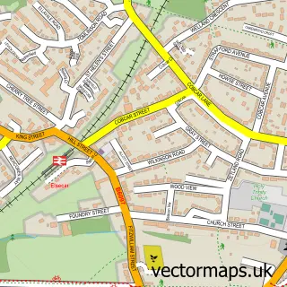
This Tankersley street map is a detailed vector street map covering a 750m x 750m area. Select a larger area to create and download your own vector street map of Tankersley.
The 750-metre map sample for Tankersley covers 174 mapped buildings and approximately 17.6 km of road detail, of which 15 named roads are named. The immediate area includes 1 school, 2 GP surgeries within 2 miles and 9 MOT stations within 2 miles. The wider area around Tankersley features 1 tourism point of interest. To create a larger or custom map of Tankersley, the map builder lets you define your own coverage area and download editable SVG, PDF and PNG files.
Create a larger editable map of Tankersley
Choose any area you need and generate a high-quality vector map instantly. Perfect for print, planning, design, business and personal use.

This Tankersley street map in South Yorkshire is available as downloadable SVG, PDF and PNG map files, or as a printed map for planning, business, display, education, local information and design work. You can also create a larger custom map area using the map selector.
What this Tankersley map sample shows
Tankersley lies within Tankersley Cp parish, part of Penistone East ward in the Barnsley District (B) local authority area. The postcode geography for this area includes the S postcode area, the S75 postcode district and the S75 3 postcode sector. Residents fall under the Nhs South Yorkshire Integrated Care Board for NHS services.
Local features near Tankersley
Within 2 milesAmenities and services in and around Tankersley.
Administrative and postcode information for Tankersley
The local authority covering Tankersley is Barnsley District (B), within the county of South Yorkshire. The settlement lies within Penistone East ward and Tankersley Cp civil parish. The S75 postcode district and S75 3 postcode sector serve the immediate area. NHS provision in the area is delivered through Barnsley Hospital Nhs Foundation Trust.
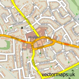
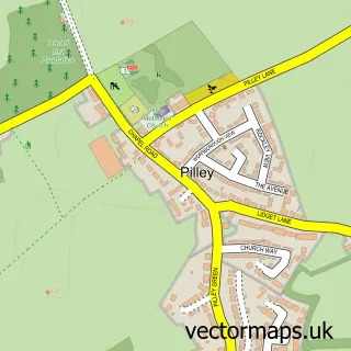
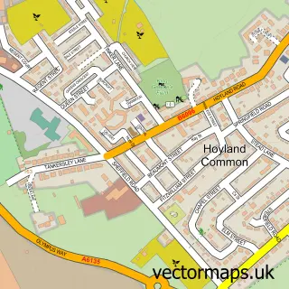
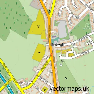
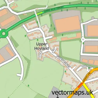
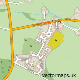
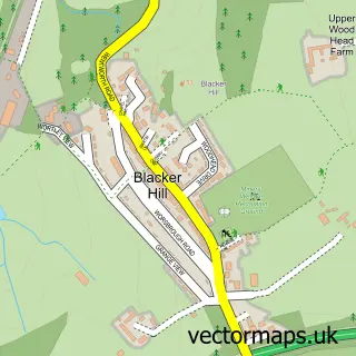
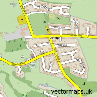
Nearby street map samples around Tankersley

More street maps in South Yorkshire
750 metre map area coverage
Boundary, postcode and point of interest information for the 750m x 750m rectangle centred on this sample map.
Boundaries containing map centre
Constituency: Penistone and Stocksbridge Co Const
District: Barnsley District (B)
Icb: NHS South Yorkshire ICB
Parish: Tankersley CP
Police Force: south yorkshire
Postcode District: S75
Postcode Sector: S75 3
Ward: Penistone East Ward
Nearby boundaries intersecting sample
Constituency: Barnsley South Co Const
Postcode District: S70, S74
Postcode Sector: S70 5, S74 0
Ward: Rockingham Ward
Postcode coverage
POI category counts
Elementary School: 2
Accountant: 1
Beauty Salon: 1
Building Supply Store: 1
Church Cathedral: 1
Contractor: 1
E Cigarette Store: 1
Electrician: 1
Home Cleaning: 1
Hospital: 1
Sample points of interest
- Blackburn's Bookkeeping
- Rain Hair Salon
- Peter Blackburn & Son
- The Aetherius Society
- Square German Kitchens
- WilsonsVapes
- RC Electrical And Security LTD
- Tankersley St Peter's C of E Primary School
- Tankersley St Peters Primary School
- Clean Machine - Carpet and Upholstery Cleaning
- Sheffield Hallam Hospital
- Tardis Tackle Angling Centre Ltd.
Create a larger editable map of Tankersley
This sample shows only a 750 metre area. To create a larger map of Tankersley, use our map builder to choose your own coverage area, add titles and download editable SVG, PDF and PNG files.
Create a custom map of Tankersley