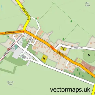
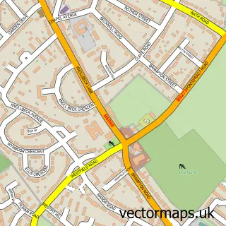
This Elsecar street map is a detailed vector street map covering a 750m x 750m area. Select a larger area to create and download your own vector street map of Elsecar.
The 750-metre map sample for Elsecar covers 591 mapped buildings and approximately 20.7 km of road detail, of which 40 named roads are named. The immediate area includes 1 railway station, 4 GP surgeries within 2 miles, 2 pubs and 8 MOT stations within 2 miles. The wider area around Elsecar features 3 food and drink venues. To create a larger or custom map of Elsecar, the map builder lets you define your own coverage area and download editable SVG, PDF and PNG files.
Create a larger editable map of Elsecar
Choose any area you need and generate a high-quality vector map instantly. Perfect for print, planning, design, business and personal use.

This Elsecar street map in South Yorkshire is available as downloadable SVG, PDF and PNG map files, or as a printed map for planning, business, display, education, local information and design work. You can also create a larger custom map area using the map selector.
What this Elsecar map sample shows
Elsecar lies within Barnsley District (B) parish, part of Hoyland Milton ward in the Barnsley District (B) local authority area. The postcode geography for this area includes the S postcode area, the S74 postcode district and the S74 8 postcode sector. Residents fall under the Nhs South Yorkshire Integrated Care Board for NHS services.
Local features near Elsecar
Within 2 milesAmenities and services in and around Elsecar.
Administrative and postcode information for Elsecar
The local authority covering Elsecar is Barnsley District (B), within the county of South Yorkshire. The settlement lies within Hoyland Milton ward and Barnsley District (B) civil parish. The S74 postcode district and S74 8 postcode sector serve the immediate area. NHS provision in the area is delivered through Barnsley Hospital Nhs Foundation Trust.
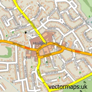
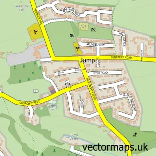
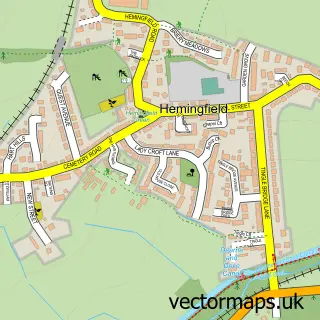
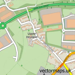
Nearby street map samples around Elsecar

More street maps in South Yorkshire
750 metre map area coverage
Boundary, postcode and point of interest information for the 750m x 750m rectangle centred on this sample map.
Boundaries containing map centre
Constituency: Barnsley South Co Const
District: Barnsley District (B)
Icb: NHS South Yorkshire ICB
Police Force: south yorkshire
Postcode District: S74
Postcode Sector: S74 8
Ward: Hoyland Milton Ward
Nearby boundaries intersecting sample
Postcode Sector: S74 0, S74 9
Postcode coverage
POI category counts
Chinese Restaurant: 3
Bar: 2
Beauty Salon: 2
Korean Grocery Store: 2
Pet Groomer: 2
Professional Services: 2
Pub: 2
Train Station: 2
Atms: 1
Baby Gear And Furniture: 1
Sample points of interest
- PREMIER STORE ELSECAR (Mirren) (Protected)
- Bloom Baby Classes Rotherham North
- Ellie's Bar
- Official Cobcar
- Simply Vintage Beauty
- Vybe Studio
- Eletest
- The Cottage Kitchen
- Black Diamond Tints
- Nagoya
- Thai Zhong
- Thai Zhong
Create a larger editable map of Elsecar
This sample shows only a 750 metre area. To create a larger map of Elsecar, use our map builder to choose your own coverage area, add titles and download editable SVG, PDF and PNG files.
Create a custom map of Elsecar