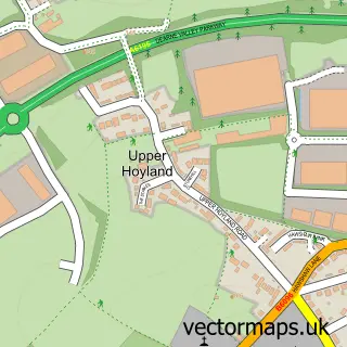
This Wentworth street map is a detailed vector street map covering a 750m x 750m area. Select a larger area to create and download your own vector street map of Wentworth.
The 750-metre map sample for Wentworth covers 100 mapped buildings and approximately 12.8 km of road detail, of which 7 named roads are named. The immediate area includes 1 school, 3 GP surgeries within 2 miles, 1 pub and 6 MOT stations within 2 miles. The wider area around Wentworth features 2 tourism points of interest, 2 food and drink venues and 2 hotels. To create a larger or custom map of Wentworth, the map builder lets you define your own coverage area and download editable SVG, PDF and PNG files.
Create a larger editable map of Wentworth
Choose any area you need and generate a high-quality vector map instantly. Perfect for print, planning, design, business and personal use.

This Wentworth street map in South Yorkshire is available as downloadable SVG, PDF and PNG map files, or as a printed map for planning, business, display, education, local information and design work. You can also create a larger custom map area using the map selector.
What this Wentworth map sample shows
Wentworth lies within Wentworth Cp parish, part of Hoober ward in the Rotherham District (B) local authority area. The postcode geography for this area includes the S postcode area, the S62 postcode district and the S62 7 postcode sector. Residents fall under the Nhs South Yorkshire Integrated Care Board for NHS services.
Local features near Wentworth
Within 2 milesAmenities and services in and around Wentworth.
Administrative and postcode information for Wentworth
The local authority covering Wentworth is Rotherham District (B), within the county of South Yorkshire. The settlement lies within Hoober ward and Wentworth Cp civil parish. The S62 postcode district and S62 7 postcode sector serve the immediate area. NHS provision in the area is delivered through The Rotherham Nhs Foundation Trust.
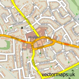
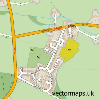
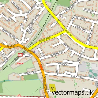
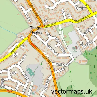
Nearby street map samples around Wentworth

More street maps in South Yorkshire
750 metre map area coverage
Boundary, postcode and point of interest information for the 750m x 750m rectangle centred on this sample map.
Boundaries containing map centre
Constituency: Rawmarsh and Conisbrough Co Const
District: Rotherham District (B)
Icb: NHS South Yorkshire ICB
Parish: Wentworth CP
Police Force: south yorkshire
Postcode District: S62
Postcode Sector: S62 7
Ward: Hoober Ward
Nearby boundaries intersecting sample
No additional intersecting boundaries found.
Postcode coverage
POI category counts
Beauty Salon: 2
Flowers And Gifts Shop: 2
Hotel: 2
Landmark And Historical Building: 2
Tea Room: 2
Anglican Church: 1
Arts And Crafts: 1
Clothing Store: 1
Convenience Store: 1
Currency Exchange: 1
Sample points of interest
- Holy Trinity
- Wingham Wool Work
- Eclosion Aesthetics
- HeadQuarters Professional Hair Care
- Houseofbagsuk
- Wentworth Village Shop
- Post Office Travel Money
- Affleck Academy of Ballet
- Mechanic Institute
- Pelican Driving School
- Wentworth Church of England Junior and Infant School
- Sausage Dog Box
Create a larger editable map of Wentworth
This sample shows only a 750 metre area. To create a larger map of Wentworth, use our map builder to choose your own coverage area, add titles and download editable SVG, PDF and PNG files.
Create a custom map of Wentworth