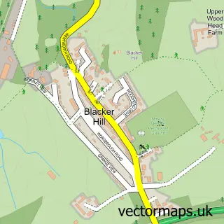
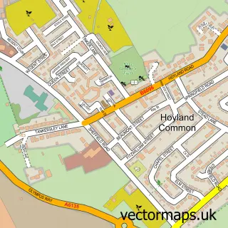
This Hemingfield street map is a detailed vector street map covering a 750m x 750m area. Select a larger area to create and download your own vector street map of Hemingfield.
The 750-metre map sample for Hemingfield covers 336 mapped buildings and approximately 12.1 km of road detail, of which 25 named roads are named. The immediate area includes 1 school, 4 GP surgeries within 2 miles, 2 pubs and 15 MOT stations within 2 miles. The wider area around Hemingfield features 2 tourism points of interest and 3 food and drink venues. To create a larger or custom map of Hemingfield, the map builder lets you define your own coverage area and download editable SVG, PDF and PNG files.
Create a larger editable map of Hemingfield
Choose any area you need and generate a high-quality vector map instantly. Perfect for print, planning, design, business and personal use.

This Hemingfield street map in South Yorkshire is available as downloadable SVG, PDF and PNG map files, or as a printed map for planning, business, display, education, local information and design work. You can also create a larger custom map area using the map selector.
What this Hemingfield map sample shows
Hemingfield lies within Barnsley District (B) parish, part of Hoyland Milton ward in the Barnsley District (B) local authority area. The postcode geography for this area includes the S postcode area, the S74 postcode district and the S74 8 postcode sector. Residents fall under the Nhs South Yorkshire Integrated Care Board for NHS services.
Local features near Hemingfield
Within 2 milesAmenities and services in and around Hemingfield.
Administrative and postcode information for Hemingfield
Hemingfield lies within Barnsley District (B) parish, part of Hoyland Milton ward in the Barnsley District (B) local authority area. The postcode geography for this area includes the S postcode area, the S74 postcode district and the S74 8 postcode sector. Residents fall under the Nhs South Yorkshire Integrated Care Board for NHS services.
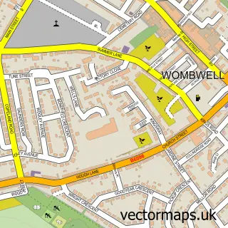
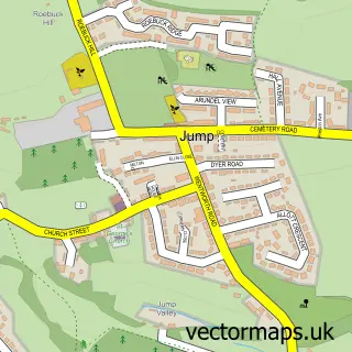
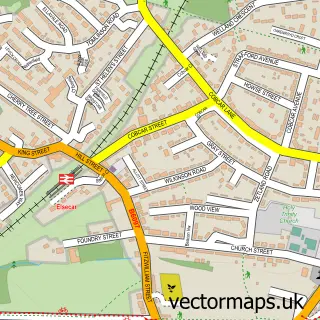
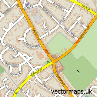
Nearby street map samples around Hemingfield

More street maps in South Yorkshire
750 metre map area coverage
Boundary, postcode and point of interest information for the 750m x 750m rectangle centred on this sample map.
Boundaries containing map centre
Constituency: Barnsley South Co Const
District: Barnsley District (B)
Icb: NHS South Yorkshire ICB
Police Force: south yorkshire
Postcode District: S73
Postcode Sector: S73 0
Ward: Hoyland Milton Ward
Nearby boundaries intersecting sample
Constituency: Rawmarsh and Conisbrough Co Const
District: Rotherham District (B)
Parish: Wentworth CP
Postcode District: S74
Postcode Sector: S74 8
Ward: Hoober Ward
Postcode coverage
POI category counts
Advertising Agency: 2
Electrician: 2
Elementary School: 2
Pub: 2
Active Life: 1
Automotive Services And Repair: 1
Bar: 1
Beauty Salon: 1
Cleaning Services: 1
Convenience Store: 1
Sample points of interest
- Hemingfield Rec
- RC Graphix
- Trade Advisor Barnsley
- Small Business Web Services
- Albion Inn
- Technics Hairdressers
- Inner Beauty
- The Village Store Hemingfield
- Innovolt Limited
- JMS Lighting and Electrical Services
- Ellis C of E Primary School
- The Ellis CE Primary School
Create a larger editable map of Hemingfield
This sample shows only a 750 metre area. To create a larger map of Hemingfield, use our map builder to choose your own coverage area, add titles and download editable SVG, PDF and PNG files.
Create a custom map of Hemingfield