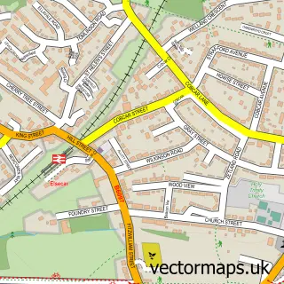
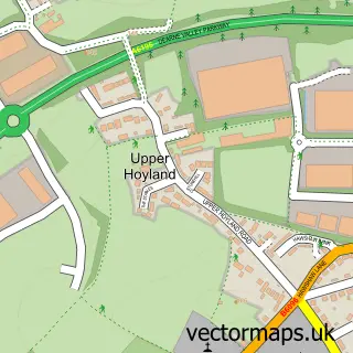
This Wombwell street map is a detailed vector street map covering a 750m x 750m area. Select a larger area to create and download your own vector street map of Wombwell.
The 750-metre map sample for Wombwell covers 595 mapped buildings and approximately 21.3 km of road detail, of which 50 named roads are named. The immediate area includes 1 school, 1 GP surgery, with 3 within 2 miles, 9 pubs and 16 MOT stations within 2 miles. The wider area around Wombwell features 15 food and drink venues and 1 hotel. To create a larger or custom map of Wombwell, the map builder lets you define your own coverage area and download editable SVG, PDF and PNG files.
Create a larger editable map of Wombwell
Choose any area you need and generate a high-quality vector map instantly. Perfect for print, planning, design, business and personal use.

This Wombwell street map in South Yorkshire is available as downloadable SVG, PDF and PNG map files, or as a printed map for planning, business, display, education, local information and design work. You can also create a larger custom map area using the map selector.
What this Wombwell map sample shows
Wombwell lies within Barnsley District (B) parish, part of Wombwell ward in the Barnsley District (B) local authority area. The postcode geography for this area includes the S postcode area, the S73 postcode district and the S73 0 postcode sector. Residents fall under the Nhs South Yorkshire Integrated Care Board for NHS services.
Local features near Wombwell
Within 2 milesAmenities and services in and around Wombwell.
Administrative and postcode information for Wombwell
The local authority covering Wombwell is Barnsley District (B), within the county of South Yorkshire. The settlement lies within Wombwell ward and Barnsley District (B) civil parish. The S73 postcode district and S73 0 postcode sector serve the immediate area. NHS provision in the area is delivered through Barnsley Hospital Nhs Foundation Trust.
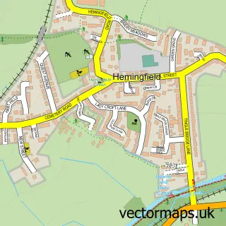
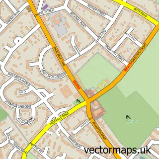
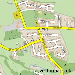
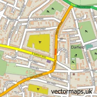
Nearby street map samples around Wombwell

More street maps in South Yorkshire
750 metre map area coverage
Boundary, postcode and point of interest information for the 750m x 750m rectangle centred on this sample map.
Boundaries containing map centre
Constituency: Barnsley South Co Const
District: Barnsley District (B)
Icb: NHS South Yorkshire ICB
Police Force: south yorkshire
Postcode District: S73
Postcode Sector: S73 0
Ward: Wombwell Ward
Nearby boundaries intersecting sample
Postcode Sector: S73 8
Postcode coverage
POI category counts
Pub: 9
Barber: 5
Flowers And Gifts Shop: 5
Bakery: 4
Beauty And Spa: 4
Beauty Salon: 4
Fast Food Restaurant: 4
Hair Salon: 4
Indian Restaurant: 4
Post Office: 4
Sample points of interest
- Wombwell
- Rabbit Design
- Kings Road News
- Payzone
- Best Garage Doors
- PMB Tyre & Motor Services
- Richardson Auto Electronics
- Greggs
- Potts Bakers
- Staniforths
- The Bake House
- Tesco Bank
Create a larger editable map of Wombwell
This sample shows only a 750 metre area. To create a larger map of Wombwell, use our map builder to choose your own coverage area, add titles and download editable SVG, PDF and PNG files.
Create a custom map of Wombwell