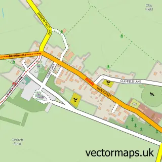
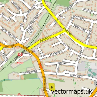
This Chapeltown street map is a detailed vector street map covering a 750m x 750m area. Select a larger area to create and download your own vector street map of Chapeltown.
The 750-metre map sample for Chapeltown covers 430 mapped buildings and approximately 22.7 km of road detail, of which 38 named roads are named. The immediate area includes 1 railway station, 4 GP surgeries within 2 miles, 12 pubs and 11 MOT stations within 2 miles. The wider area around Chapeltown features 1 tourism point of interest and 22 food and drink venues. To create a larger or custom map of Chapeltown, the map builder lets you define your own coverage area and download editable SVG, PDF and PNG files.
Create a larger editable map of Chapeltown
Choose any area you need and generate a high-quality vector map instantly. Perfect for print, planning, design, business and personal use.

This Chapeltown street map in South Yorkshire is available as downloadable SVG, PDF and PNG map files, or as a printed map for planning, business, display, education, local information and design work. You can also create a larger custom map area using the map selector.
What this Chapeltown map sample shows
Chapeltown lies within Ecclesfield Cp parish, part of East Ecclesfield ward in the Sheffield District (B) local authority area. The postcode geography for this area includes the S postcode area, the S35 postcode district and the S35 1 postcode sector. Residents fall under the Nhs South Yorkshire Integrated Care Board for NHS services.
Local features near Chapeltown
Within 2 milesAmenities and services in and around Chapeltown.
Administrative and postcode information for Chapeltown
Chapeltown lies within Ecclesfield Cp parish, part of East Ecclesfield ward in the Sheffield District (B) local authority area. The postcode geography for this area includes the S postcode area, the S35 postcode district and the S35 1 postcode sector. Residents fall under the Nhs South Yorkshire Integrated Care Board for NHS services.
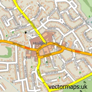
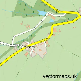
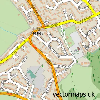
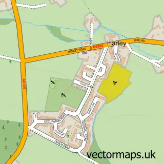
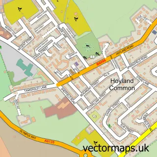
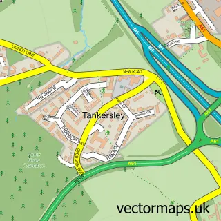
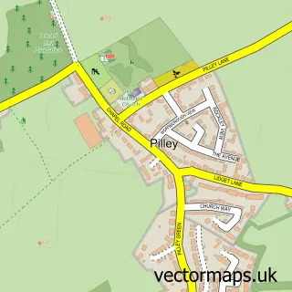
Nearby street map samples around Chapeltown

More street maps in South Yorkshire
750 metre map area coverage
Boundary, postcode and point of interest information for the 750m x 750m rectangle centred on this sample map.
Boundaries containing map centre
Constituency: Penistone and Stocksbridge Co Const
District: Sheffield District (B)
Icb: NHS South Yorkshire ICB
Parish: Ecclesfield CP
Police Force: south yorkshire
Postcode District: S35
Postcode Sector: S35 2
Ward: East Ecclesfield Ward
Nearby boundaries intersecting sample
Postcode Sector: S35 1
Postcode coverage
POI category counts
Beauty Salon: 16
Pub: 12
Hair Salon: 9
Barber: 7
Tattoo And Piercing: 6
Real Estate Agent: 5
Cafe: 4
Church Cathedral: 4
Flowers And Gifts Shop: 4
Photo Booth Rental: 4
Sample points of interest
- Chapeltown Saddlery
- Giveaway Treasures
- Konica Minolta
- Indus Occupational Health
- Sheffield Vintage
- Blundells
- Blundells Estate Agents Chapeltown
- Chapel Lodge Nursing Home
- Moorcroft & Son
- Steadfast Automotive
- Staniforths
- Staniforths Ltd
Create a larger editable map of Chapeltown
This sample shows only a 750 metre area. To create a larger map of Chapeltown, use our map builder to choose your own coverage area, add titles and download editable SVG, PDF and PNG files.
Create a custom map of Chapeltown