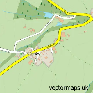
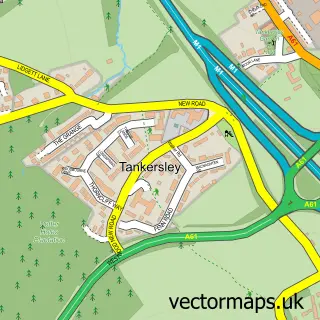
This Thorpe Hesley street map is a detailed vector street map covering a 750m x 750m area. Select a larger area to create and download your own vector street map of Thorpe Hesley.
The 750-metre map sample for Thorpe Hesley covers 481 mapped buildings and approximately 19.8 km of road detail, of which 32 named roads are named. The immediate area includes 1 school, 1 GP surgery, with 4 within 2 miles, 3 pubs and 11 MOT stations within 2 miles. The wider area around Thorpe Hesley features 3 food and drink venues. To create a larger or custom map of Thorpe Hesley, the map builder lets you define your own coverage area and download editable SVG, PDF and PNG files.
Create a larger editable map of Thorpe Hesley
Choose any area you need and generate a high-quality vector map instantly. Perfect for print, planning, design, business and personal use.

This Thorpe Hesley street map in South Yorkshire is available as downloadable SVG, PDF and PNG map files, or as a printed map for planning, business, display, education, local information and design work. You can also create a larger custom map area using the map selector.
What this Thorpe Hesley map sample shows
Thorpe Hesley lies within Rotherham District (B) parish, part of Keppel ward in the Rotherham District (B) local authority area. The postcode geography for this area includes the S postcode area, the S61 postcode district and the S61 2 postcode sector. Residents fall under the Nhs South Yorkshire Integrated Care Board for NHS services.
Local features near Thorpe Hesley
Within 2 milesAmenities and services in and around Thorpe Hesley.
Administrative and postcode information for Thorpe Hesley
The local authority covering Thorpe Hesley is Rotherham District (B), within the county of South Yorkshire. The settlement lies within Keppel ward and Rotherham District (B) civil parish. The S61 postcode district and S61 2 postcode sector serve the immediate area. NHS provision in the area is delivered through The Rotherham Nhs Foundation Trust.
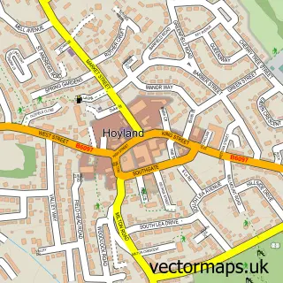
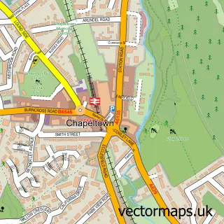
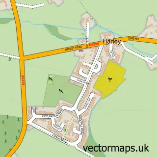
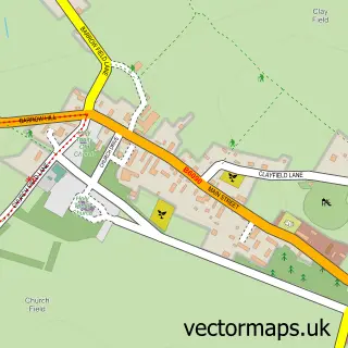
Nearby street map samples around Thorpe Hesley

More street maps in South Yorkshire
750 metre map area coverage
Boundary, postcode and point of interest information for the 750m x 750m rectangle centred on this sample map.
Boundaries containing map centre
Constituency: Rotherham Boro Const
District: Rotherham District (B)
Icb: NHS South Yorkshire ICB
Police Force: south yorkshire
Postcode District: S61
Postcode Sector: S61 2
Ward: Keppel Ward
Nearby boundaries intersecting sample
Constituency: Rawmarsh and Conisbrough Co Const
Parish: Wentworth CP
Ward: Hoober Ward
Postcode coverage
POI category counts
Convenience Store: 3
Elementary School: 3
Flowers And Gifts Shop: 3
Pub: 3
Beauty Salon: 2
Church Cathedral: 2
Pharmacy: 2
Scout Hall: 2
Advertising Agency: 1
Arts And Crafts: 1
Sample points of interest
- GEC Print & Design
- Wychwood Framing
- Francesca Sykes Nail Artist
- B4 Beauty
- The Dolls House
- Wentworth View - Jones Homes (Yorkshire) Ltd.
- G.E.C Print & Design
- Winnie Chinese
- Holy Trinity
- Holy Trinity Church of England
- Trinity Community Centre
- Costcutter
Create a larger editable map of Thorpe Hesley
This sample shows only a 750 metre area. To create a larger map of Thorpe Hesley, use our map builder to choose your own coverage area, add titles and download editable SVG, PDF and PNG files.
Create a custom map of Thorpe Hesley