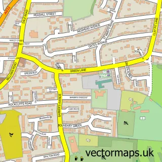
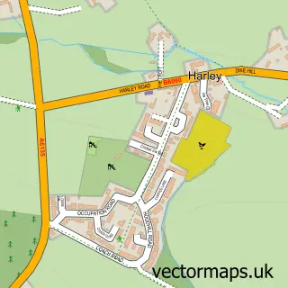
This Greasbrough street map is a detailed vector street map covering a 750m x 750m area. Select a larger area to create and download your own vector street map of Greasbrough.
The 750-metre map sample for Greasbrough covers 306 mapped buildings and approximately 23.8 km of road detail, of which 30 named roads are named. The immediate area includes 1 school, 2 GP surgeries, with 11 within 2 miles, 8 pubs and 1 MOT station, with 28 within 2 miles. The wider area around Greasbrough features 1 tourism point of interest and 10 food and drink venues. To create a larger or custom map of Greasbrough, the map builder lets you define your own coverage area and download editable SVG, PDF and PNG files.
Create a larger editable map of Greasbrough
Choose any area you need and generate a high-quality vector map instantly. Perfect for print, planning, design, business and personal use.

This Greasbrough street map in South Yorkshire is available as downloadable SVG, PDF and PNG map files, or as a printed map for planning, business, display, education, local information and design work. You can also create a larger custom map area using the map selector.
What this Greasbrough map sample shows
Greasbrough lies within Rotherham District (B) parish, part of Wingfield ward in the Rotherham District (B) local authority area. The postcode geography for this area includes the S postcode area, the S61 postcode district and the S61 4 postcode sector. Residents fall under the Nhs South Yorkshire Integrated Care Board for NHS services.
Local features near Greasbrough
Within 2 milesAmenities and services in and around Greasbrough.
Administrative and postcode information for Greasbrough
Greasbrough lies within Rotherham District (B) parish, part of Wingfield ward in the Rotherham District (B) local authority area. The postcode geography for this area includes the S postcode area, the S61 postcode district and the S61 4 postcode sector. Residents fall under the Nhs South Yorkshire Integrated Care Board for NHS services.
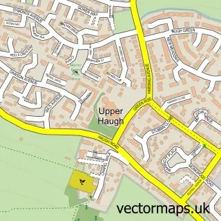
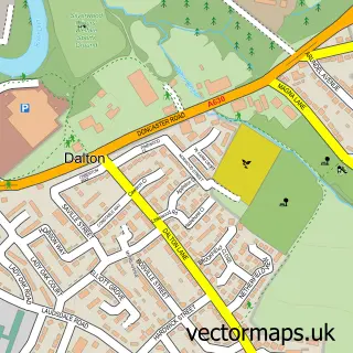
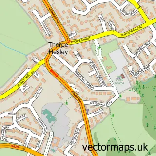
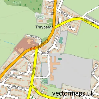
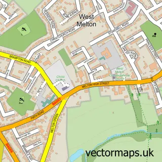
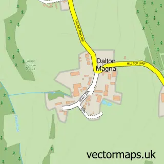
Nearby street map samples around Greasbrough

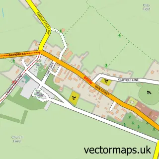
More street maps in South Yorkshire
750 metre map area coverage
Boundary, postcode and point of interest information for the 750m x 750m rectangle centred on this sample map.
Boundaries containing map centre
Constituency: Rotherham Boro Const
District: Rotherham District (B)
Icb: NHS South Yorkshire ICB
Police Force: south yorkshire
Postcode District: S61
Postcode Sector: S61 4
Ward: Greasbrough Ward
Nearby boundaries intersecting sample
No additional intersecting boundaries found.
Postcode coverage
POI category counts
Pub: 8
Beauty Salon: 6
Funeral Services And Cemeteries: 4
Assisted Living Facility: 2
Automotive Repair: 2
Barber: 2
Beauty And Spa: 2
Betting Center: 2
Church Cathedral: 2
Education: 2
Sample points of interest
- St Mary's Church, Greasbrough
- Luke McVeigh Dip WCF Farrier
- Greasborough Residential & Nursing Home
- Jubilee Care Home
- The Cooperative Food (BF) Greasborough (ERF), Greasbrough
- Motorists DIY
- Greasbrough Service Station
- Greasbrough Service Station
- Santander
- The Club Greasbrough WMC
- Barber & Co
- Crop Shop Greasbrough
Create a larger editable map of Greasbrough
This sample shows only a 750 metre area. To create a larger map of Greasbrough, use our map builder to choose your own coverage area, add titles and download editable SVG, PDF and PNG files.
Create a custom map of Greasbrough