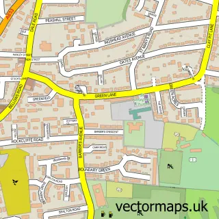
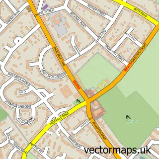
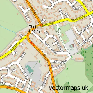
This Upper Haugh street map is a detailed vector street map covering a 750m x 750m area. Select a larger area to create and download your own vector street map of Upper Haugh.
The 750-metre map sample for Upper Haugh covers 521 mapped buildings and approximately 27.3 km of road detail, of which 39 named roads are named. The immediate area includes 5 GP surgeries within 2 miles, 2 pubs and 13 MOT stations within 2 miles. The wider area around Upper Haugh features 4 food and drink venues. To create a larger or custom map of Upper Haugh, the map builder lets you define your own coverage area and download editable SVG, PDF and PNG files.
Create a larger editable map of Upper Haugh
Choose any area you need and generate a high-quality vector map instantly. Perfect for print, planning, design, business and personal use.

This Upper Haugh street map in South Yorkshire is available as downloadable SVG, PDF and PNG map files, or as a printed map for planning, business, display, education, local information and design work. You can also create a larger custom map area using the map selector.
What this Upper Haugh map sample shows
Upper Haugh lies within Rotherham District (B) parish, part of Rawmarsh ward in the Rotherham District (B) local authority area. The postcode geography for this area includes the S postcode area, the S62 postcode district and the S62 7 postcode sector. Residents fall under the Nhs South Yorkshire Integrated Care Board for NHS services.
Local features near Upper Haugh
Within 2 milesAmenities and services in and around Upper Haugh.
Administrative and postcode information for Upper Haugh
The local authority covering Upper Haugh is Rotherham District (B), within the county of South Yorkshire. The settlement lies within Rawmarsh ward and Rotherham District (B) civil parish. The S62 postcode district and S62 7 postcode sector serve the immediate area. NHS provision in the area is delivered through The Rotherham Nhs Foundation Trust.
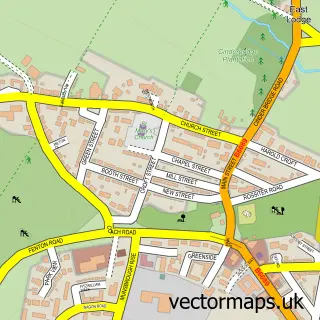
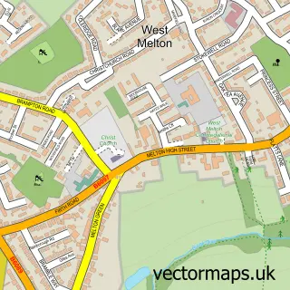
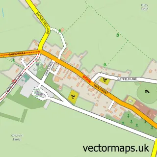
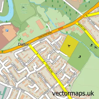
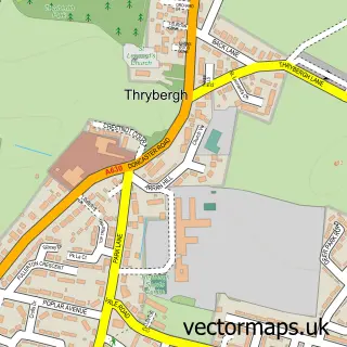
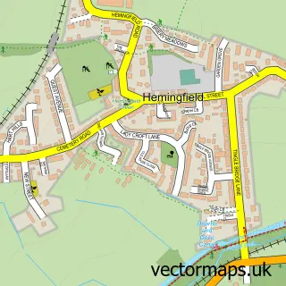
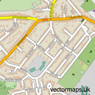
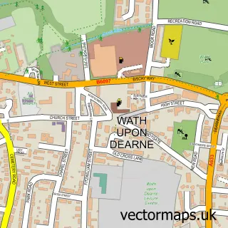
Nearby street map samples around Upper Haugh

More street maps in South Yorkshire
750 metre map area coverage
Boundary, postcode and point of interest information for the 750m x 750m rectangle centred on this sample map.
Boundaries containing map centre
Constituency: Rawmarsh and Conisbrough Co Const
District: Rotherham District (B)
Icb: NHS South Yorkshire ICB
Police Force: south yorkshire
Postcode District: S62
Postcode Sector: S62 7
Ward: Rawmarsh West Ward
Nearby boundaries intersecting sample
No additional intersecting boundaries found.
Postcode coverage
POI category counts
Driving School: 2
Hair Salon: 2
Pub: 2
Restaurant: 2
Accommodation: 1
Atms: 1
Bakery: 1
Bar: 1
Bathroom Remodeling: 1
Beauty Salon: 1
Sample points of interest
- Manor Farm Estate Rawmarsh
- PayPoint
- Thatlittlecakeshop Rawmarsh | Rotherham
- The Rigdyke Rawmarsh
- P G Builders
- Raw Hair Therapy & Beauty Lounge
- Rolling Center
- Window Film it
- Rawmarsh Foodbank
- The Drop-In Centre
- SG Tiling
- Premier
Create a larger editable map of Upper Haugh
This sample shows only a 750 metre area. To create a larger map of Upper Haugh, use our map builder to choose your own coverage area, add titles and download editable SVG, PDF and PNG files.
Create a custom map of Upper Haugh