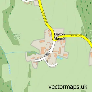
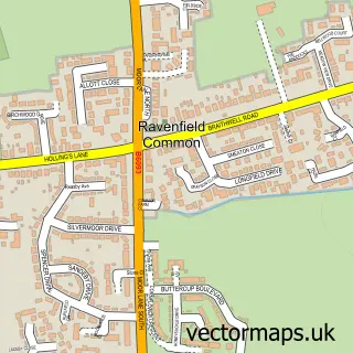
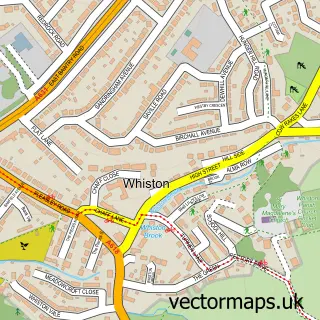
This Dalton street map is a detailed vector street map covering a 750m x 750m area. Select a larger area to create and download your own vector street map of Dalton.
The 750-metre map sample for Dalton covers 378 mapped buildings and approximately 20.6 km of road detail, of which 29 named roads are named. The immediate area includes 11 GP surgeries within 2 miles, 1 pub and 1 MOT station, with 31 within 2 miles. The wider area around Dalton features 2 food and drink venues and 1 campsite within 2 miles. To create a larger or custom map of Dalton, the map builder lets you define your own coverage area and download editable SVG, PDF and PNG files.
Create a larger editable map of Dalton
Choose any area you need and generate a high-quality vector map instantly. Perfect for print, planning, design, business and personal use.

This Dalton street map in South Yorkshire is available as downloadable SVG, PDF and PNG map files, or as a printed map for planning, business, display, education, local information and design work. You can also create a larger custom map area using the map selector.
What this Dalton map sample shows
Dalton lies within Dalton Cp parish, part of Valley ward in the Rotherham District (B) local authority area. The postcode geography for this area includes the S postcode area, the S65 postcode district and the S65 4 postcode sector. Residents fall under the Nhs South Yorkshire Integrated Care Board for NHS services.
Local features near Dalton
Within 2 milesAmenities and services in and around Dalton.
Administrative and postcode information for Dalton
Dalton lies within Dalton Cp parish, part of Valley ward in the Rotherham District (B) local authority area. The postcode geography for this area includes the S postcode area, the S65 postcode district and the S65 4 postcode sector. Residents fall under the Nhs South Yorkshire Integrated Care Board for NHS services.
Nearby street map samples around Dalton

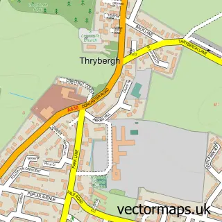
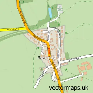
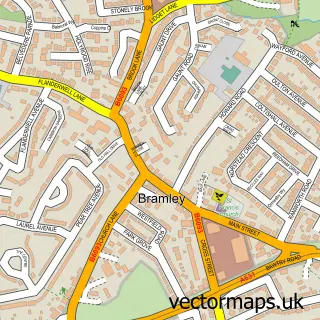
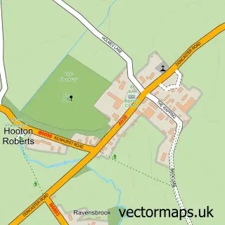
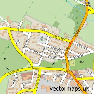
More street maps in South Yorkshire
750 metre map area coverage
Boundary, postcode and point of interest information for the 750m x 750m rectangle centred on this sample map.
Boundaries containing map centre
Constituency: Rotherham Boro Const
District: Rotherham District (B)
Icb: NHS South Yorkshire ICB
Parish: Dalton CP
Police Force: south yorkshire
Postcode District: S65
Postcode Sector: S65 3
Ward: Dalton & Thrybergh Ward
Nearby boundaries intersecting sample
Constituency: Rawmarsh and Conisbrough Co Const
Parish: Thrybergh CP
Postcode Sector: S65 4
Ward: Rawmarsh East Ward
Postcode coverage
POI category counts
Pharmacy: 4
Beauty Salon: 3
Building Supply Store: 3
Pizza Restaurant: 3
Tattoo And Piercing: 3
Barber: 2
Chinese Restaurant: 2
Dentist: 2
Doctor: 2
Fast Food Restaurant: 2
Sample points of interest
- Dalton, South Yorkshire
- For Keeps - 3d Casting & Keepsakes - Rotherham
- Dalton Convenience Store
- Brookland Motor Co
- Bullseye Car Parts
- Silverwood Miners Welfare & Resource Centre
- MR Barbers
- Unorthodox Barbers
- Skin & Body Clinic
- Rainbow Nails & Beauty
- Studio 65 - By Charlotte Cole
- Studio65 - by Natalie Thickett
Create a larger editable map of Dalton
This sample shows only a 750 metre area. To create a larger map of Dalton, use our map builder to choose your own coverage area, add titles and download editable SVG, PDF and PNG files.
Create a custom map of Dalton