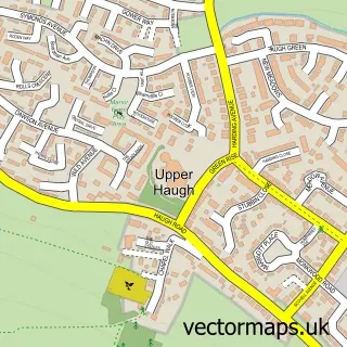
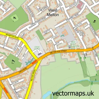
This Rawmarsh street map is a detailed vector street map covering a 750m x 750m area. Select a larger area to create and download your own vector street map of Rawmarsh.
The 750-metre map sample for Rawmarsh covers 512 mapped buildings and approximately 23.0 km of road detail, of which 46 named roads are named. The immediate area includes 3 schools, 1 GP surgery, with 8 within 2 miles, 3 pubs and 29 MOT stations within 2 miles. The wider area around Rawmarsh features 3 food and drink venues and 1 campsite within 2 miles. To create a larger or custom map of Rawmarsh, the map builder lets you define your own coverage area and download editable SVG, PDF and PNG files.
Create a larger editable map of Rawmarsh
Choose any area you need and generate a high-quality vector map instantly. Perfect for print, planning, design, business and personal use.

This Rawmarsh street map in South Yorkshire is available as downloadable SVG, PDF and PNG map files, or as a printed map for planning, business, display, education, local information and design work. You can also create a larger custom map area using the map selector.
What this Rawmarsh map sample shows
Rawmarsh lies within Rotherham District (B) parish, part of Rawmarsh ward in the Rotherham District (B) local authority area. The postcode geography for this area includes the S postcode area, the S62 postcode district and the S62 6 postcode sector. Residents fall under the Nhs South Yorkshire Integrated Care Board for NHS services.
Local features near Rawmarsh
Within 2 milesAmenities and services in and around Rawmarsh.
Administrative and postcode information for Rawmarsh
The local authority covering Rawmarsh is Rotherham District (B), within the county of South Yorkshire. The settlement lies within Rawmarsh ward and Rotherham District (B) civil parish. The S62 postcode district and S62 6 postcode sector serve the immediate area. NHS provision in the area is delivered through The Rotherham Nhs Foundation Trust.
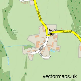
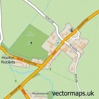
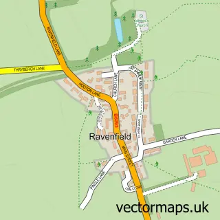
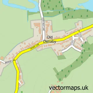
Nearby street map samples around Rawmarsh

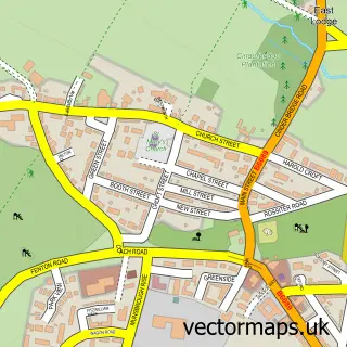
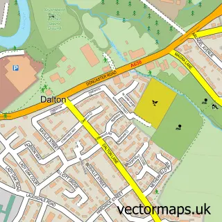
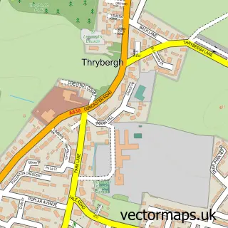
More street maps in South Yorkshire
750 metre map area coverage
Boundary, postcode and point of interest information for the 750m x 750m rectangle centred on this sample map.
Boundaries containing map centre
Constituency: Rawmarsh and Conisbrough Co Const
District: Rotherham District (B)
Icb: NHS South Yorkshire ICB
Police Force: south yorkshire
Postcode District: S62
Postcode Sector: S62 6
Ward: Rawmarsh East Ward
Nearby boundaries intersecting sample
Postcode Sector: S62 5, S62 7
Ward: Rawmarsh West Ward
Postcode coverage
POI category counts
Sports Club And League: 5
Pub: 3
Beauty And Spa: 2
Doctor: 2
Education: 2
Elementary School: 2
Golf Course: 2
Property Management: 2
Amateur Sports Team: 1
Baby Gear And Furniture: 1
Sample points of interest
- Parkgate Football Club
- Bloom Baby Classes Rotherham North
- Staniforths Ltd
- The Crown Inn
- Gogos Takeaway
- Guys Barbers Shop
- La Burger
- Earth Angels hair salon
- Coral
- Buzz Bingo
- Coral
- Premier
Create a larger editable map of Rawmarsh
This sample shows only a 750 metre area. To create a larger map of Rawmarsh, use our map builder to choose your own coverage area, add titles and download editable SVG, PDF and PNG files.
Create a custom map of Rawmarsh