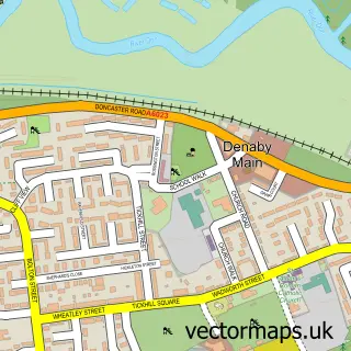
This Old Denaby street map is a detailed vector street map covering a 750m x 750m area. Select a larger area to create and download your own vector street map of Old Denaby.
The 750-metre map sample for Old Denaby covers 127 mapped buildings and approximately 7.0 km of road detail, of which 5 named roads are named. The immediate area includes 7 GP surgeries within 2 miles, 1 pub and 16 MOT stations within 2 miles. The wider area around Old Denaby features 2 tourism points of interest and 2 food and drink venues. To create a larger or custom map of Old Denaby, the map builder lets you define your own coverage area and download editable SVG, PDF and PNG files.
Create a larger editable map of Old Denaby
Choose any area you need and generate a high-quality vector map instantly. Perfect for print, planning, design, business and personal use.

This Old Denaby street map in South Yorkshire is available as downloadable SVG, PDF and PNG map files, or as a printed map for planning, business, display, education, local information and design work. You can also create a larger custom map area using the map selector.
What this Old Denaby map sample shows
Old Denaby lies within Denaby Cp parish, part of Conisbrough ward in the Doncaster District (B) local authority area. The postcode geography for this area includes the DN postcode area, the DN12 postcode district and the DN12 4 postcode sector. Residents fall under the Nhs South Yorkshire Integrated Care Board for NHS services.
Local features near Old Denaby
Within 2 milesAmenities and services in and around Old Denaby.
Administrative and postcode information for Old Denaby
The local authority covering Old Denaby is Doncaster District (B), within the county of South Yorkshire. The settlement lies within Conisbrough ward and Denaby Cp civil parish. The DN12 postcode district and DN12 4 postcode sector serve the immediate area. NHS provision in the area is delivered through Doncaster And Bassetlaw Teaching Hospitals Nhs Foundation Trust.
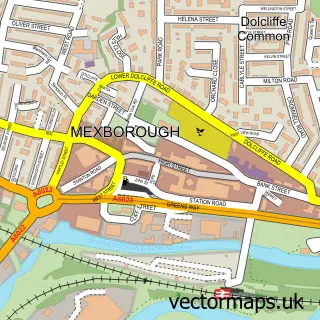
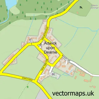
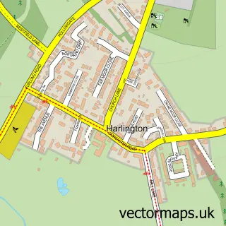
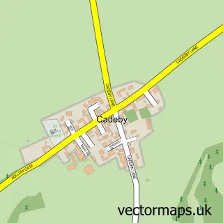
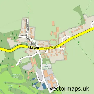
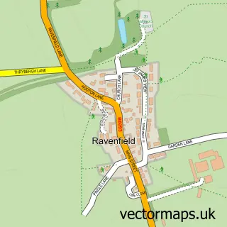
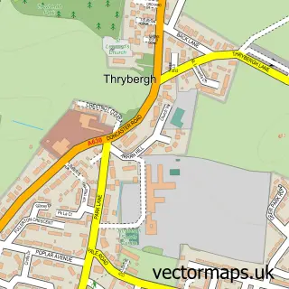
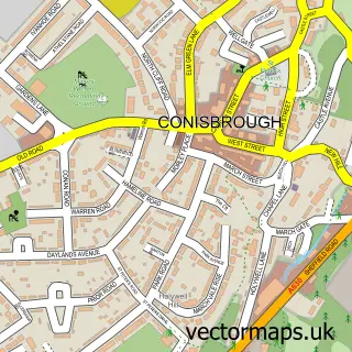
Nearby street map samples around Old Denaby

More street maps in South Yorkshire
750 metre map area coverage
Boundary, postcode and point of interest information for the 750m x 750m rectangle centred on this sample map.
Boundaries containing map centre
Constituency: Rawmarsh and Conisbrough Co Const
District: Doncaster District (B)
Icb: NHS South Yorkshire ICB
Parish: Denaby CP
Police Force: south yorkshire
Postcode District: DN12
Postcode Sector: DN12 4
Ward: Conisbrough Ward
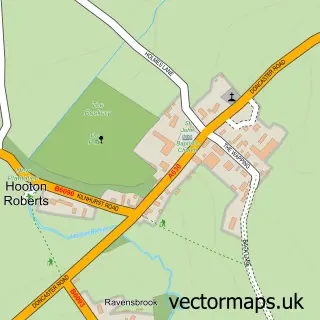
Nearby boundaries intersecting sample
Constituency: Doncaster North Co Const
District: Rotherham District (B)
Parish: Hooton Roberts CP
Ward: Bramley & Ravenfield Ward, Mexborough Ward
Postcode coverage
POI category counts
Amusement Park: 2
Bakery: 1
Engineering Services: 1
Holiday Rental Home: 1
Machine And Tool Rentals: 1
Professional Services: 1
Pub: 1
Restaurant: 1
Sample points of interest
- Manor Farm
- Wacky Warehouse - Manor Farm
- Cake by Lynda Morrison
- A Catlow
- Cosy Cottage
- Torque Tool Services
- Ferryboat Farm Fisheries
- The Manor at Old Denaby
- The Manor At Old Denaby
Create a larger editable map of Old Denaby
This sample shows only a 750 metre area. To create a larger map of Old Denaby, use our map builder to choose your own coverage area, add titles and download editable SVG, PDF and PNG files.
Create a custom map of Old Denaby