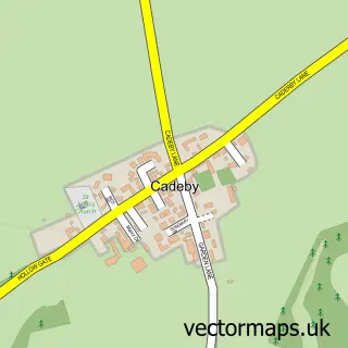
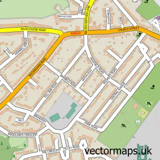
This Mexborough street map is a detailed vector street map covering a 750m x 750m area. Select a larger area to create and download your own vector street map of Mexborough.
The 750-metre map sample for Mexborough covers 354 mapped buildings and approximately 29.0 km of road detail, of which 51 named roads are named. The immediate area includes 1 railway station, 5 GP surgeries within 2 miles, 7 pubs and 1 MOT station, with 18 within 2 miles. The wider area around Mexborough features 1 tourism point of interest and 17 food and drink venues. To create a larger or custom map of Mexborough, the map builder lets you define your own coverage area and download editable SVG, PDF and PNG files.
Create a larger editable map of Mexborough
Choose any area you need and generate a high-quality vector map instantly. Perfect for print, planning, design, business and personal use.

This Mexborough street map in South Yorkshire is available as downloadable SVG, PDF and PNG map files, or as a printed map for planning, business, display, education, local information and design work. You can also create a larger custom map area using the map selector.
What this Mexborough map sample shows
Mexborough lies within Doncaster District (B) parish, part of Mexborough ward in the Doncaster District (B) local authority area. The postcode geography for this area includes the S postcode area, the S64 postcode district and the S64 0 postcode sector. Residents fall under the Nhs South Yorkshire Integrated Care Board for NHS services.
Local features near Mexborough
Within 2 milesAmenities and services in and around Mexborough.
Administrative and postcode information for Mexborough
The local authority covering Mexborough is Doncaster District (B), within the county of South Yorkshire. The settlement lies within Mexborough ward and Doncaster District (B) civil parish. The S64 postcode district and S64 0 postcode sector serve the immediate area. NHS provision in the area is delivered through Doncaster And Bassetlaw Teaching Hospitals Nhs Foundation Trust.
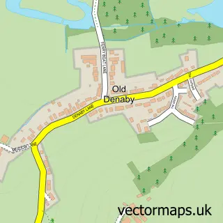
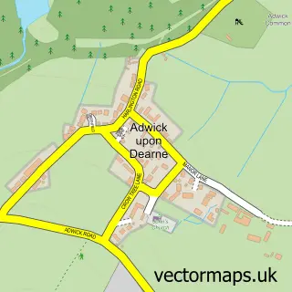
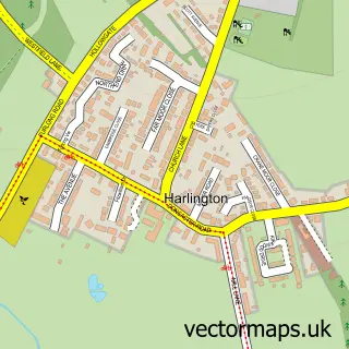
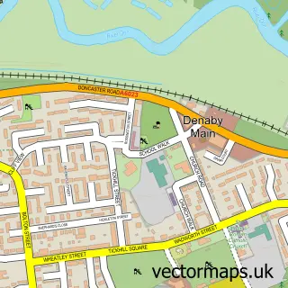
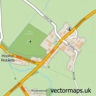
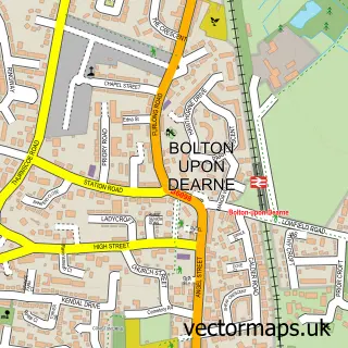
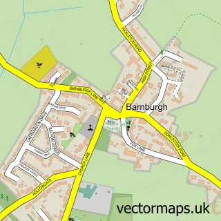
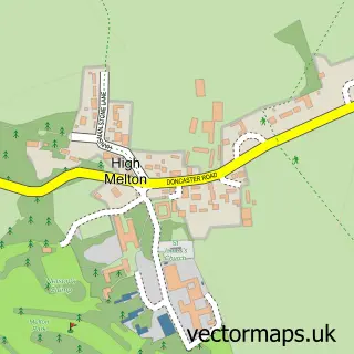
Nearby street map samples around Mexborough

More street maps in South Yorkshire
750 metre map area coverage
Boundary, postcode and point of interest information for the 750m x 750m rectangle centred on this sample map.
Boundaries containing map centre
Constituency: Doncaster North Co Const
District: Doncaster District (B)
Icb: NHS South Yorkshire ICB
Police Force: south yorkshire
Postcode District: S64
Postcode Sector: S64 9
Ward: Mexborough Ward
Nearby boundaries intersecting sample
Constituency: Rawmarsh and Conisbrough Co Const
District: Rotherham District (B)
Parish: Denaby CP
Postcode District: DN12
Postcode Sector: DN12 4, S64 8
Ward: Conisbrough Ward, Kilnhurst & Swinton East Ward
Postcode coverage
POI category counts
Clothing Store: 8
Convenience Store: 8
Bakery: 7
Beauty And Spa: 7
Beauty Salon: 7
Hair Salon: 7
Pub: 7
Retail: 7
Professional Services: 6
Tattoo And Piercing: 6
Sample points of interest
- David Tiptaft Chartered Accountant
- Leesing Marrison Lee and Co
- Connexions
- Alexandra Hypnotherapy
- Teddys Amusements
- Homesure Direct
- Northern PAT-Guard
- Angel Aquatics
- Jaqs Picture Framing
- Elite Lifestyle Parks
- ATM (Post Office)
- Atm
Create a larger editable map of Mexborough
This sample shows only a 750 metre area. To create a larger map of Mexborough, use our map builder to choose your own coverage area, add titles and download editable SVG, PDF and PNG files.
Create a custom map of Mexborough