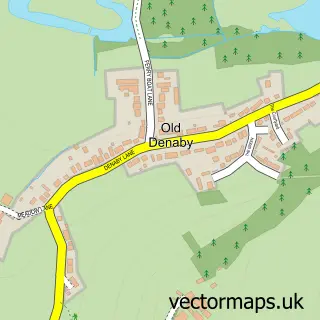
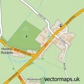
This Denaby Main street map is a detailed vector street map covering a 750m x 750m area. Select a larger area to create and download your own vector street map of Denaby Main.
The 750-metre map sample for Denaby Main covers 282 mapped buildings and approximately 19.6 km of road detail, of which 16 named roads are named. The immediate area includes 2 schools, 1 GP surgery, with 5 within 2 miles, 1 pub and 10 MOT stations within 2 miles. The wider area around Denaby Main features 1 tourism point of interest and 3 food and drink venues. To create a larger or custom map of Denaby Main, the map builder lets you define your own coverage area and download editable SVG, PDF and PNG files.
Create a larger editable map of Denaby Main
Choose any area you need and generate a high-quality vector map instantly. Perfect for print, planning, design, business and personal use.

This Denaby Main street map in South Yorkshire is available as downloadable SVG, PDF and PNG map files, or as a printed map for planning, business, display, education, local information and design work. You can also create a larger custom map area using the map selector.
What this Denaby Main map sample shows
Denaby Main lies within Denaby Cp parish, part of Conisbrough ward in the Doncaster District (B) local authority area. The postcode geography for this area includes the DN postcode area, the DN12 postcode district and the DN12 4 postcode sector. Residents fall under the Nhs South Yorkshire Integrated Care Board for NHS services.
Local features near Denaby Main
Within 2 milesAmenities and services in and around Denaby Main.
Administrative and postcode information for Denaby Main
Denaby Main lies within Denaby Cp parish, part of Conisbrough ward in the Doncaster District (B) local authority area. The postcode geography for this area includes the DN postcode area, the DN12 postcode district and the DN12 4 postcode sector. Residents fall under the Nhs South Yorkshire Integrated Care Board for NHS services.
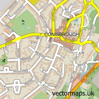
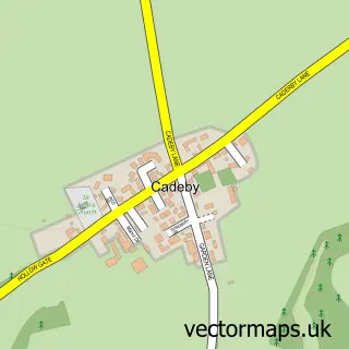
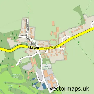
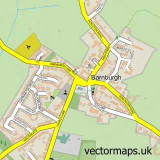
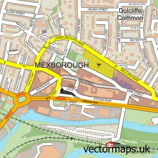
Nearby street map samples around Denaby Main

More street maps in South Yorkshire
750 metre map area coverage
Boundary, postcode and point of interest information for the 750m x 750m rectangle centred on this sample map.
Boundaries containing map centre
Constituency: Rawmarsh and Conisbrough Co Const
District: Doncaster District (B)
Icb: NHS South Yorkshire ICB
Police Force: south yorkshire
Postcode District: DN12
Postcode Sector: DN12 4
Ward: Conisbrough Ward
Nearby boundaries intersecting sample
Constituency: Doncaster North Co Const
Postcode District: S64
Postcode Sector: S64 0
Ward: Mexborough Ward
Postcode coverage
POI category counts
Gas Station: 5
Convenience Store: 4
Elementary School: 3
Beauty Salon: 2
Butcher Shop: 2
Community Services Non Profits: 2
Shipping Center: 2
Social Service Organizations: 2
Advertising Agency: 1
Anglican Church: 1
Sample points of interest
- Doncaster and Rotherham Memorial Centre
- All Saints Parish Church
- PayPoint
- CSW-Media & Design
- Claire's Cakes, Bakes and Shakes
- S&A Barbers
- Louise’s Hair Salon & Barber’s Denaby main
- Lashes and Beauty By Macy-Jae
- Top Tan & Beauty Lounge
- JenningsBet
- BBW Foods
- Shaun's Butchers
Create a larger editable map of Denaby Main
This sample shows only a 750 metre area. To create a larger map of Denaby Main, use our map builder to choose your own coverage area, add titles and download editable SVG, PDF and PNG files.
Create a custom map of Denaby Main