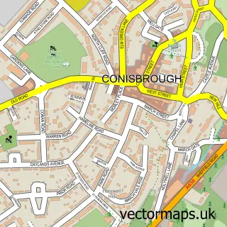
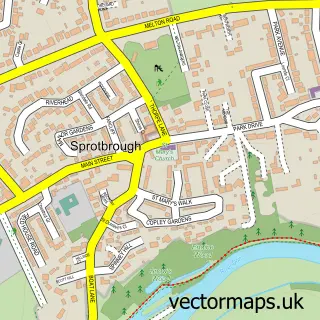
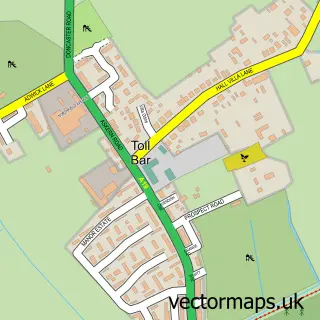
This Doncaster street map is a detailed vector street map covering a 750m x 750m area. Select a larger area to create and download your own vector street map of Doncaster.
The 750-metre map sample for Doncaster covers 150 mapped buildings and approximately 24.8 km of road detail, of which 60 named roads are named. The immediate area includes 2 GP surgeries, with 13 within 2 miles, 61 pubs and 41 MOT stations within 2 miles. The wider area around Doncaster features 9 tourism points of interest, 129 food and drink venues and 6 hotels. To create a larger or custom map of Doncaster, the map builder lets you define your own coverage area and download editable SVG, PDF and PNG files.
Create a larger editable map of Doncaster
Choose any area you need and generate a high-quality vector map instantly. Perfect for print, planning, design, business and personal use.

This Doncaster street map in South Yorkshire is available as downloadable SVG, PDF and PNG map files, or as a printed map for planning, business, display, education, local information and design work. You can also create a larger custom map area using the map selector.
What this Doncaster map sample shows
Doncaster lies within Doncaster District (B) parish, part of Town ward in the Doncaster District (B) local authority area. The postcode geography for this area includes the DN postcode area, the DN4 postcode district and the DN4 5 postcode sector. Residents fall under the Nhs South Yorkshire Integrated Care Board for NHS services.
Local features near Doncaster
Within 2 milesAmenities and services in and around Doncaster.
Administrative and postcode information for Doncaster
Doncaster lies within Doncaster District (B) parish, part of Town ward in the Doncaster District (B) local authority area. The postcode geography for this area includes the DN postcode area, the DN4 postcode district and the DN4 5 postcode sector. Residents fall under the Nhs South Yorkshire Integrated Care Board for NHS services.
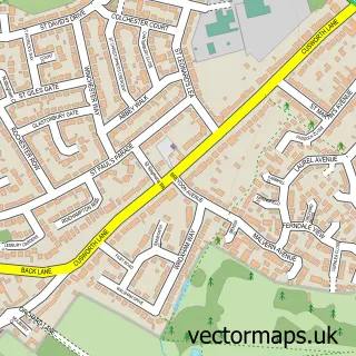
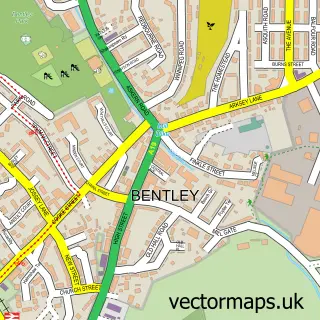
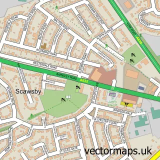
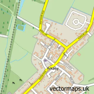
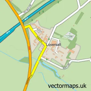
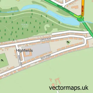
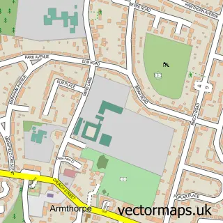
Nearby street map samples around Doncaster
More street maps in South Yorkshire
750 metre map area coverage
Boundary, postcode and point of interest information for the 750m x 750m rectangle centred on this sample map.
Boundaries containing map centre
Constituency: Doncaster Central Co Const
District: Doncaster District (B)
Icb: NHS South Yorkshire ICB
Police Force: south yorkshire
Postcode District: DN1
Postcode Sector: DN1 1
Ward: Town Ward
Nearby boundaries intersecting sample
Postcode Sector: DN1 2, DN1 3
Postcode coverage
POI category counts
Pub: 61
Clothing Store: 47
Beauty Salon: 37
Bar: 32
Cafe: 29
Professional Services: 29
Jewelry Store: 28
Mobile Phone Store: 26
Fast Food Restaurant: 25
Real Estate Agent: 25
Sample points of interest
- Crozier Jones
- ESSENCE ACCOUNTING UK - Doncaster
- Embrace Financial Services
- Glover & Co.
- White Rose Accountants
- Green Oak Morris Men
- Kixx Bassetlaw
- Scott Stevenson School of Dancing
- Action For Employment
- Artstyle
- Total Management Development
- Cecilia's Lounge and Bar
Create a larger editable map of Doncaster
This sample shows only a 750 metre area. To create a larger map of Doncaster, use our map builder to choose your own coverage area, add titles and download editable SVG, PDF and PNG files.
Create a custom map of Doncaster