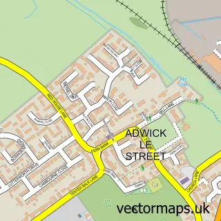
This Scawsby street map is a detailed vector street map covering a 750m x 750m area. Select a larger area to create and download your own vector street map of Scawsby.
The 750-metre map sample for Scawsby covers 714 mapped buildings and approximately 21.0 km of road detail, of which 47 named roads are named. The immediate area includes 2 schools, 1 GP surgery, with 7 within 2 miles, 3 pubs and 1 MOT station, with 21 within 2 miles. The wider area around Scawsby features 1 tourism point of interest and 6 food and drink venues. To create a larger or custom map of Scawsby, the map builder lets you define your own coverage area and download editable SVG, PDF and PNG files.
Create a larger editable map of Scawsby
Choose any area you need and generate a high-quality vector map instantly. Perfect for print, planning, design, business and personal use.

This Scawsby street map in South Yorkshire is available as downloadable SVG, PDF and PNG map files, or as a printed map for planning, business, display, education, local information and design work. You can also create a larger custom map area using the map selector.
What this Scawsby map sample shows
Scawsby lies within Doncaster District (B) parish, part of Bentley ward in the Doncaster District (B) local authority area. The postcode geography for this area includes the DN postcode area, the DN5 postcode district and the DN5 0 postcode sector. Residents fall under the Nhs South Yorkshire Integrated Care Board for NHS services.
Local features near Scawsby
Within 2 milesAmenities and services in and around Scawsby.
Administrative and postcode information for Scawsby
Scawsby lies within Doncaster District (B) parish, part of Bentley ward in the Doncaster District (B) local authority area. The postcode geography for this area includes the DN postcode area, the DN5 postcode district and the DN5 0 postcode sector. Residents fall under the Nhs South Yorkshire Integrated Care Board for NHS services.
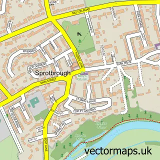
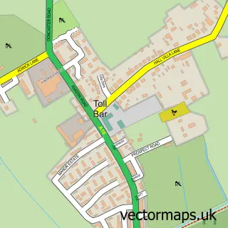
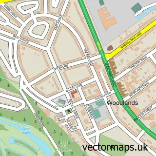
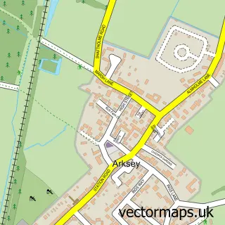
Nearby street map samples around Scawsby

More street maps in South Yorkshire
750 metre map area coverage
Boundary, postcode and point of interest information for the 750m x 750m rectangle centred on this sample map.
Boundaries containing map centre
Constituency: Doncaster North Co Const
District: Doncaster District (B)
Icb: NHS South Yorkshire ICB
Parish: Brodsworth CP
Police Force: south yorkshire
Postcode District: DN5
Postcode Sector: DN5 8
Ward: Roman Ridge Ward
Nearby boundaries intersecting sample
Parish: Sprotbrough and Cusworth CP
Postcode Sector: DN5 9
Ward: Bentley Ward
Postcode coverage
POI category counts
Convenience Store: 9
Automotive Repair: 4
Package Locker: 4
Beauty Salon: 3
Dance School: 3
Gas Station: 3
Hair Salon: 3
Professional Services: 3
Pub: 3
Alternative Medicine: 2
Sample points of interest
- Hypnotic World
- Waude Faith
- St Leonard & St Jude Church
- St Leonard & St Jude Scawsby.
- Kevin Tweed
- Mobile Vehicle Repair
- Scawsby MOT & Car Care Centre
- Scawsby MOT and Car Care Centre
- Harding AuYong
- Stoneacre Doncaster Ford Transit Centre
- Fat Freezing Lipo Body Clinic at Perfect Harmony
- About Face Medical Aesthetics Clinic & MakeUp Lounge
Create a larger editable map of Scawsby
This sample shows only a 750 metre area. To create a larger map of Scawsby, use our map builder to choose your own coverage area, add titles and download editable SVG, PDF and PNG files.
Create a custom map of Scawsby