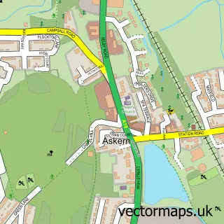
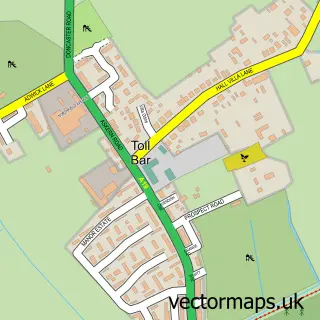
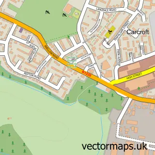
This Bentley street map is a detailed vector street map covering a 750m x 750m area. Select a larger area to create and download your own vector street map of Bentley.
The 750-metre map sample for Bentley covers 445 mapped buildings and approximately 24.5 km of road detail, of which 42 named roads are named. The immediate area includes 1 school, 1 railway station, 1 GP surgery, with 11 within 2 miles and 3 pubs among other local services. The wider area around Bentley features 1 tourism point of interest and 11 food and drink venues. To create a larger or custom map of Bentley, the map builder lets you define your own coverage area and download editable SVG, PDF and PNG files.
Create a larger editable map of Bentley
Choose any area you need and generate a high-quality vector map instantly. Perfect for print, planning, design, business and personal use.

This Bentley street map in South Yorkshire is available as downloadable SVG, PDF and PNG map files, or as a printed map for planning, business, display, education, local information and design work. You can also create a larger custom map area using the map selector.
What this Bentley map sample shows
Bentley lies within Doncaster District (B) parish, part of Bentley ward in the Doncaster District (B) local authority area. The postcode geography for this area includes the DN postcode area, the DN5 postcode district and the DN5 0 postcode sector. Residents fall under the Nhs South Yorkshire Integrated Care Board for NHS services.
Local features near Bentley
Within 2 milesAmenities and services in and around Bentley.
Administrative and postcode information for Bentley
The local authority covering Bentley is Doncaster District (B), within the county of South Yorkshire. The settlement lies within Bentley ward and Doncaster District (B) civil parish. The DN5 postcode district and DN5 0 postcode sector serve the immediate area. NHS provision in the area is delivered through Doncaster And Bassetlaw Teaching Hospitals Nhs Foundation Trust.
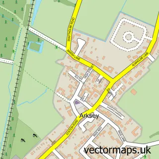
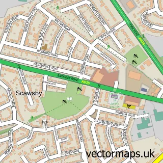
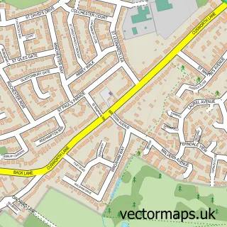
Nearby street map samples around Bentley

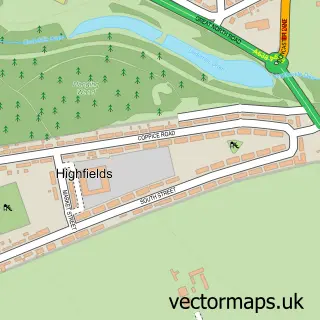
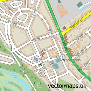
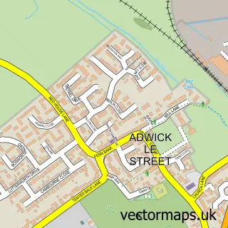
More street maps in South Yorkshire
750 metre map area coverage
Boundary, postcode and point of interest information for the 750m x 750m rectangle centred on this sample map.
Boundaries containing map centre
Constituency: Doncaster North Co Const
District: Doncaster District (B)
Icb: NHS South Yorkshire ICB
Police Force: south yorkshire
Postcode District: DN5
Postcode Sector: DN5 0
Ward: Bentley Ward
Nearby boundaries intersecting sample
Postcode Sector: DN5 9
Postcode coverage
POI category counts
Beauty Salon: 11
Barber: 7
Building Supply Store: 6
Church Cathedral: 6
Chinese Restaurant: 5
Automotive Repair: 4
Cafe: 4
Event Planning: 4
Fast Food Restaurant: 4
Automotive: 3
Sample points of interest
- Campbell & Stenton Accountancy
- The Denwood Clinic
- St Peter's Bentley
- Doncaster Mansion House
- Dexel Tyre & Auto Centre
- Mobile Mechanic
- Taylors High Street Garage
- Auto electrical conversions & repair
- Bullseye Motorist Centre
- Prosec Garages
- S.A.S Mobile Mechanic
- Broughs of bentley
Create a larger editable map of Bentley
This sample shows only a 750 metre area. To create a larger map of Bentley, use our map builder to choose your own coverage area, add titles and download editable SVG, PDF and PNG files.
Create a custom map of Bentley