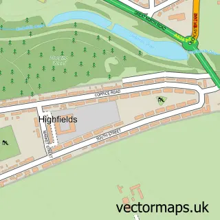
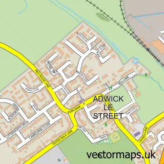
This Cusworth street map is a detailed vector street map covering a 750m x 750m area. Select a larger area to create and download your own vector street map of Cusworth.
The 750-metre map sample for Cusworth covers 694 mapped buildings and approximately 16.9 km of road detail, of which 46 named roads are named. The immediate area includes 2 schools, 13 GP surgeries within 2 miles, 2 pubs and 26 MOT stations within 2 miles. The wider area around Cusworth features 1 tourism point of interest and 3 food and drink venues. To create a larger or custom map of Cusworth, the map builder lets you define your own coverage area and download editable SVG, PDF and PNG files.
Create a larger editable map of Cusworth
Choose any area you need and generate a high-quality vector map instantly. Perfect for print, planning, design, business and personal use.

This Cusworth street map in South Yorkshire is available as downloadable SVG, PDF and PNG map files, or as a printed map for planning, business, display, education, local information and design work. You can also create a larger custom map area using the map selector.
What this Cusworth map sample shows
Cusworth lies within Doncaster District (B) parish, part of Bentley ward in the Doncaster District (B) local authority area. The postcode geography for this area includes the DN postcode area, the DN5 postcode district and the DN5 0 postcode sector. Residents fall under the Nhs South Yorkshire Integrated Care Board for NHS services.
Local features near Cusworth
Within 2 milesAmenities and services in and around Cusworth.
Administrative and postcode information for Cusworth
Cusworth lies within Doncaster District (B) parish, part of Bentley ward in the Doncaster District (B) local authority area. The postcode geography for this area includes the DN postcode area, the DN5 postcode district and the DN5 0 postcode sector. Residents fall under the Nhs South Yorkshire Integrated Care Board for NHS services.
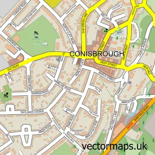
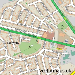
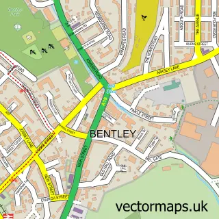
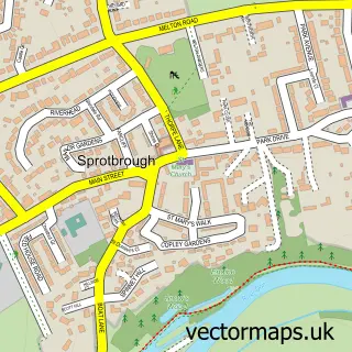
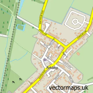
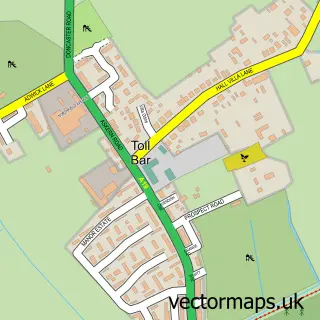
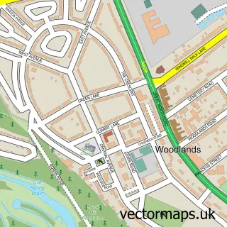
Nearby street map samples around Cusworth

More street maps in South Yorkshire
750 metre map area coverage
Boundary, postcode and point of interest information for the 750m x 750m rectangle centred on this sample map.
Boundaries containing map centre
Constituency: Doncaster North Co Const
District: Doncaster District (B)
Icb: NHS South Yorkshire ICB
Parish: Sprotbrough and Cusworth CP
Police Force: south yorkshire
Postcode District: DN5
Postcode Sector: DN5 8
Ward: Roman Ridge Ward
Nearby boundaries intersecting sample
Postcode Sector: DN5 7
Ward: Bentley Ward
Postcode coverage
POI category counts
Beauty Salon: 4
Hair Salon: 3
Contractor: 2
Convenience Store: 2
Elementary School: 2
Grocery Store: 2
Package Locker: 2
Pharmacy: 2
Property Management: 2
Pub: 2
Sample points of interest
- River Don Walkway
- C3 Architectural Planning & Design
- Londis, Breydon Avenue
- Emma's Custom Cakes and Figures
- Marr Lodge
- Marlene's
- About Face Medical Aesthetics Clinic & MakeUp Lounge
- Chantelle Frost -Master Brow Artist & Beautician
- Decisions
- The Sisterhood
- Harvest Fields Distribution
- Reflect Detailing
Create a larger editable map of Cusworth
This sample shows only a 750 metre area. To create a larger map of Cusworth, use our map builder to choose your own coverage area, add titles and download editable SVG, PDF and PNG files.
Create a custom map of Cusworth