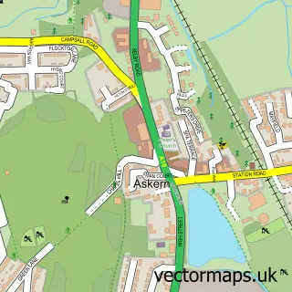
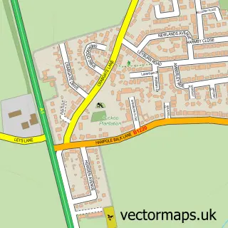
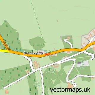
This Adwick le Street street map is a detailed vector street map covering a 750m x 750m area. Select a larger area to create and download your own vector street map of Adwick le Street.
The 750-metre map sample for Adwick le Street covers 407 mapped buildings and approximately 12.8 km of road detail, of which 25 named roads are named. The immediate area includes 1 GP surgery within 2 miles, 1 pub and 8 MOT stations within 2 miles. The wider area around Adwick le Street features 1 food and drink venue. To create a larger or custom map of Adwick le Street, the map builder lets you define your own coverage area and download editable SVG, PDF and PNG files.
Create a larger editable map of Adwick le Street
Choose any area you need and generate a high-quality vector map instantly. Perfect for print, planning, design, business and personal use.

This Adwick le Street street map in South Yorkshire is available as downloadable SVG, PDF and PNG map files, or as a printed map for planning, business, display, education, local information and design work. You can also create a larger custom map area using the map selector.
What this Adwick le Street map sample shows
Adwick le Street lies within Doncaster District (B) parish, part of Adwick Le Street & Carcroft ward in the Doncaster District (B) local authority area. The postcode geography for this area includes the DN postcode area, the DN6 postcode district and the DN6 7 postcode sector. Residents fall under the Nhs South Yorkshire Integrated Care Board for NHS services.
Local features near Adwick le Street
Within 2 milesAmenities and services in and around Adwick le Street.
Administrative and postcode information for Adwick le Street
Adwick le Street lies within Doncaster District (B) parish, part of Adwick Le Street & Carcroft ward in the Doncaster District (B) local authority area. The postcode geography for this area includes the DN postcode area, the DN6 postcode district and the DN6 7 postcode sector. Residents fall under the Nhs South Yorkshire Integrated Care Board for NHS services.
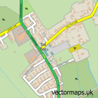
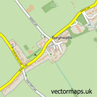
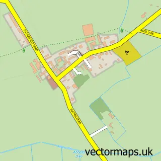
Nearby street map samples around Adwick le Street

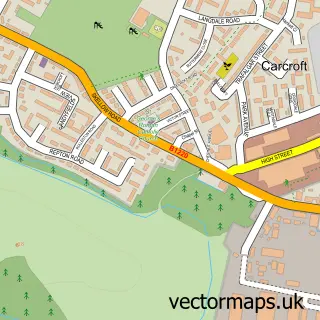
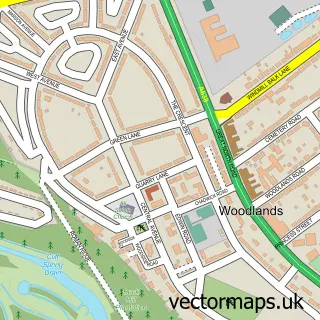
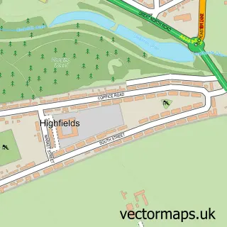
More street maps in South Yorkshire
750 metre map area coverage
Boundary, postcode and point of interest information for the 750m x 750m rectangle centred on this sample map.
Boundaries containing map centre
Constituency: Doncaster North Co Const
District: Doncaster District (B)
Icb: NHS South Yorkshire ICB
Police Force: south yorkshire
Postcode District: DN6
Postcode Sector: DN6 7
Ward: Adwick le Street & Carcroft Ward
Nearby boundaries intersecting sample
Postcode Sector: DN6 8
Postcode coverage
POI category counts
Church Cathedral: 4
Gym: 3
Martial Arts Club: 2
Pet Groomer: 2
Veterinarian: 2
Appliance Manufacturer: 1
Arts And Crafts: 1
Bar: 1
Caterer: 1
Community Services Non Profits: 1
Sample points of interest
- Nationwide Bearing Co
- Kayola Designs
- Kato's Bar
- Whinfell Community Hall
- Adwick Methodist Church
- St Laurence C of E Church
- St Laurence's Church
- St Lawrence's Church
- The Foresters Community Foodbank
- IFS Doncaster
- Get Fit with Christine
- Hickling's Funeral Service
Create a larger editable map of Adwick le Street
This sample shows only a 750 metre area. To create a larger map of Adwick le Street, use our map builder to choose your own coverage area, add titles and download editable SVG, PDF and PNG files.
Create a custom map of Adwick le Street