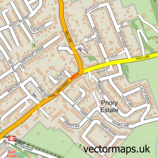
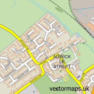
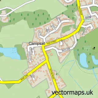
This Skellow street map is a detailed vector street map covering a 750m x 750m area. Select a larger area to create and download your own vector street map of Skellow.
The 750-metre map sample for Skellow covers 386 mapped buildings and approximately 14.7 km of road detail, of which 19 named roads are named. The immediate area includes 1 GP surgery within 2 miles and 7 MOT stations within 2 miles. The wider area around Skellow features 2 hotels. To create a larger or custom map of Skellow, the map builder lets you define your own coverage area and download editable SVG, PDF and PNG files.
Create a larger editable map of Skellow
Choose any area you need and generate a high-quality vector map instantly. Perfect for print, planning, design, business and personal use.

This Skellow street map in South Yorkshire is available as downloadable SVG, PDF and PNG map files, or as a printed map for planning, business, display, education, local information and design work. You can also create a larger custom map area using the map selector.
What this Skellow map sample shows
Skellow lies within Doncaster District (B) parish, part of Norton & Askern ward in the Doncaster District (B) local authority area. The postcode geography for this area includes the DN postcode area, the DN6 postcode district and the DN6 8 postcode sector. Residents fall under the Nhs South Yorkshire Integrated Care Board for NHS services.
Local features near Skellow
Within 2 milesAmenities and services in and around Skellow.
Administrative and postcode information for Skellow
The local authority covering Skellow is Doncaster District (B), within the county of South Yorkshire. The settlement lies within Norton & Askern ward and Doncaster District (B) civil parish. The DN6 postcode district and DN6 8 postcode sector serve the immediate area. NHS provision in the area is delivered through Doncaster And Bassetlaw Teaching Hospitals Nhs Foundation Trust.
Nearby street map samples around Skellow

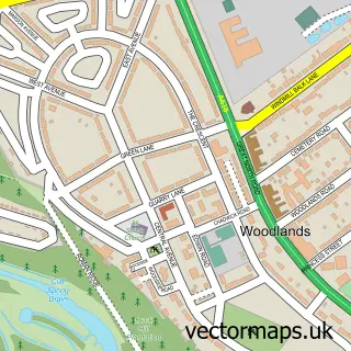
More street maps in South Yorkshire
750 metre map area coverage
Boundary, postcode and point of interest information for the 750m x 750m rectangle centred on this sample map.
Boundaries containing map centre
Constituency: Doncaster North Co Const
District: Doncaster District (B)
Icb: NHS South Yorkshire ICB
Police Force: south yorkshire
Postcode District: DN6
Postcode Sector: DN6 8
Ward: Norton & Askern Ward
Nearby boundaries intersecting sample
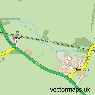
Parish: Hampole CP
Ward: Sprotbrough Ward
Postcode coverage
POI category counts
Gas Station: 4
Hotel: 2
Atms: 1
Auto Loan Provider: 1
Automotive: 1
Bakery: 1
Bed And Breakfast: 1
Building Supply Store: 1
Car Rental Agency: 1
Convenience Store: 1
Sample points of interest
- SGN Ltd - White Rose (TGC) (attack reinstall), Skellow
- Financial Consultant
- Paragon Auto Care
- Greggs
- Canda Lodge
- Force Electrical
- Flaxton Self Drive
- Londis White Rose
- Little Chef
- Lesley Logan Driving Tuition
- Costa Coffee
- Disco Mania
Create a larger editable map of Skellow
This sample shows only a 750 metre area. To create a larger map of Skellow, use our map builder to choose your own coverage area, add titles and download editable SVG, PDF and PNG files.
Create a custom map of Skellow