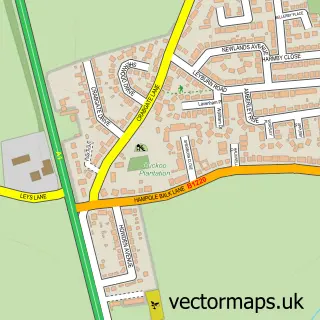
This South Elmsall street map is a detailed vector street map covering a 750m x 750m area. Select a larger area to create and download your own vector street map of South Elmsall.
The 750-metre map sample for South Elmsall covers 629 mapped buildings and approximately 17.8 km of road detail, of which 31 named roads are named. The immediate area includes 1 railway station, 3 GP surgeries within 2 miles and 7 MOT stations within 2 miles. The wider area around South Elmsall features 1 food and drink venue. To create a larger or custom map of South Elmsall, the map builder lets you define your own coverage area and download editable SVG, PDF and PNG files.
Create a larger editable map of South Elmsall
Choose any area you need and generate a high-quality vector map instantly. Perfect for print, planning, design, business and personal use.

This South Elmsall street map in West Yorkshire is available as downloadable SVG, PDF and PNG map files, or as a printed map for planning, business, display, education, local information and design work. You can also create a larger custom map area using the map selector.
What this South Elmsall map sample shows
South Elmsall lies within South Elmsall Cp parish, part of South Elmsall And South Kirkby ward in the Wakefield District (B) local authority area. The postcode geography for this area includes the WF postcode area, the WF9 postcode district and the WF9 2 postcode sector. Residents fall under the Nhs West Yorkshire Integrated Care Board for NHS services.
Local features near South Elmsall
Within 2 milesAmenities and services in and around South Elmsall.
Administrative and postcode information for South Elmsall
The local authority covering South Elmsall is Wakefield District (B), within the county of West Yorkshire. The settlement lies within South Elmsall And South Kirkby ward and South Elmsall Cp civil parish. The WF9 postcode district and WF9 2 postcode sector serve the immediate area. NHS provision in the area is delivered through Mid Yorkshire Teaching Nhs Trust.
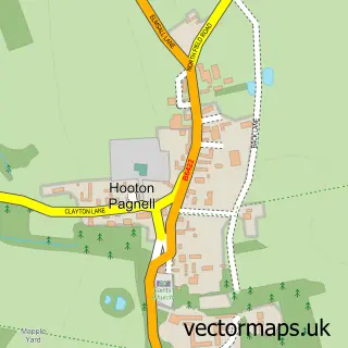
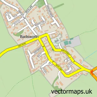
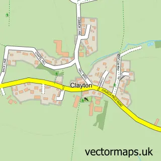
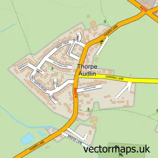
Nearby street map samples around South Elmsall

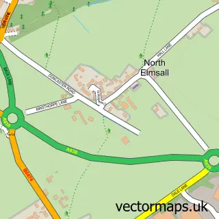
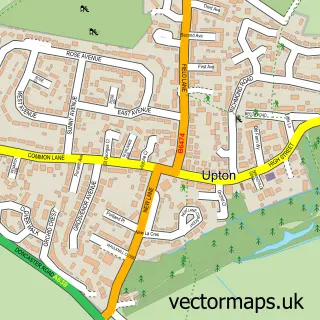
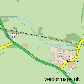
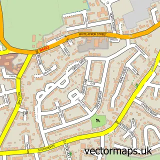
More street maps in West Yorkshire
750 metre map area coverage
Boundary, postcode and point of interest information for the 750m x 750m rectangle centred on this sample map.
Boundaries containing map centre
Constituency: Normanton and Hemsworth Co Const
District: Wakefield District (B)
Icb: NHS West Yorkshire ICB
Parish: South Elmsall CP
Police Force: west yorkshire
Postcode District: WF9
Postcode Sector: WF9 2
Ward: South Elmsall and South Kirkby Ward
Nearby boundaries intersecting sample
Ward: Ackworth, North Elmsall and Upton Ward
Postcode coverage
POI category counts
Storage Facility: 3
Train Station: 3
Domestic Business And Trade Organizations: 2
Package Locker: 2
Professional Services: 2
Telecommunications: 2
Automotive Repair: 1
Bar: 1
Building Supply Store: 1
Carpenter: 1
Sample points of interest
- Car parts
- The Priory
- Hebron Electrical Contractors
- Nico
- Trinity Methodist Church
- Vendoking Vending Solutions
- Vendoking Vending Solutions
- Bill Hammond Automatic Driving School
- Bluetalent Recruitment Solutions
- Chip Pan
- S E Saxon Transport
- Chloe Loosley Sports Therapy
Create a larger editable map of South Elmsall
This sample shows only a 750 metre area. To create a larger map of South Elmsall, use our map builder to choose your own coverage area, add titles and download editable SVG, PDF and PNG files.
Create a custom map of South Elmsall