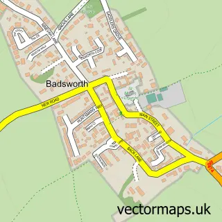
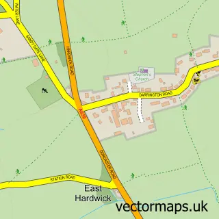
This Thorpe Audlin street map is a detailed vector street map covering a 750m x 750m area. Select a larger area to create and download your own vector street map of Thorpe Audlin.
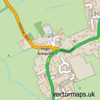
The 750-metre map sample for Thorpe Audlin covers 198 mapped buildings and approximately 8.7 km of road detail, of which 15 named roads are named. The immediate area includes 1 pub and 3 MOT stations within 2 miles. The wider area around Thorpe Audlin features 1 food and drink venue. To create a larger or custom map of Thorpe Audlin, the map builder lets you define your own coverage area and download editable SVG, PDF and PNG files.
Create a larger editable map of Thorpe Audlin
Choose any area you need and generate a high-quality vector map instantly. Perfect for print, planning, design, business and personal use.

This Thorpe Audlin street map in West Yorkshire is available as downloadable SVG, PDF and PNG map files, or as a printed map for planning, business, display, education, local information and design work. You can also create a larger custom map area using the map selector.
What this Thorpe Audlin map sample shows
Thorpe Audlin lies within Thorpe Audlin Cp parish, part of Ackworth, North Elmsall And Upton ward in the Wakefield District (B) local authority area. The postcode geography for this area includes the WF postcode area, the WF8 postcode district and the WF8 3 postcode sector. Residents fall under the Nhs West Yorkshire Integrated Care Board for NHS services.
Local features near Thorpe Audlin
Within 2 milesAmenities and services in and around Thorpe Audlin.
Administrative and postcode information for Thorpe Audlin
Thorpe Audlin lies within Thorpe Audlin Cp parish, part of Ackworth, North Elmsall And Upton ward in the Wakefield District (B) local authority area. The postcode geography for this area includes the WF postcode area, the WF8 postcode district and the WF8 3 postcode sector. Residents fall under the Nhs West Yorkshire Integrated Care Board for NHS services.
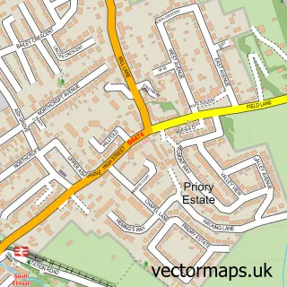
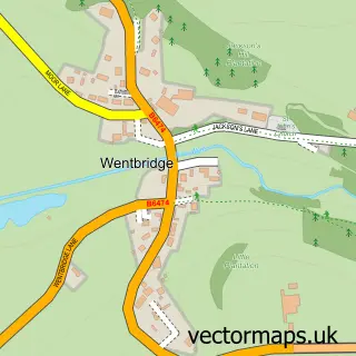
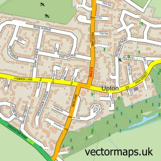
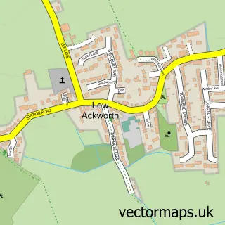
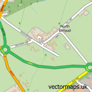
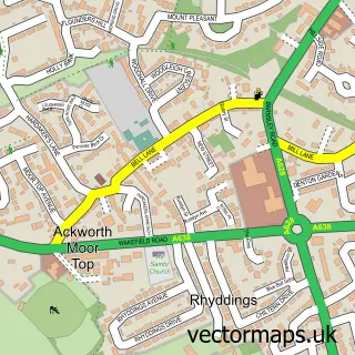
Nearby street map samples around Thorpe Audlin

More street maps in West Yorkshire
750 metre map area coverage
Boundary, postcode and point of interest information for the 750m x 750m rectangle centred on this sample map.
Boundaries containing map centre
Constituency: Normanton and Hemsworth Co Const
District: Wakefield District (B)
Icb: NHS West Yorkshire ICB
Parish: Thorpe Audlin CP
Police Force: west yorkshire
Postcode District: WF8
Postcode Sector: WF8 3
Ward: Ackworth, North Elmsall and Upton Ward
Nearby boundaries intersecting sample
Postcode District: WF9
Postcode Sector: WF9 1
Postcode coverage
POI category counts
Bar: 1
Beauty Salon: 1
Doctor: 1
Equestrian Facility: 1
Financial Service: 1
Fishing Club: 1
Gastropub: 1
Pub: 1
Sample points of interest
- Fox And Hounds Thorpe Audlin
- Beautylicious.salon
- College Lane Surgery - Branch at Thorpe Audlin Surgery
- Martingale Farm
- Key Mortgages
- Bridge Cottage Fishery
- The Earle of Pontefract
- The Fox and Hounds
Create a larger editable map of Thorpe Audlin
This sample shows only a 750 metre area. To create a larger map of Thorpe Audlin, use our map builder to choose your own coverage area, add titles and download editable SVG, PDF and PNG files.
Create a custom map of Thorpe Audlin