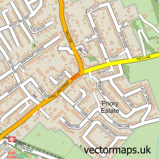
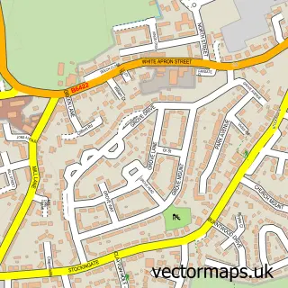
This Upton street map is a detailed vector street map covering a 750m x 750m area. Select a larger area to create and download your own vector street map of Upton.
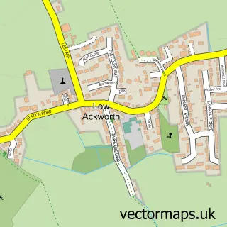
The 750-metre map sample for Upton covers 571 mapped buildings and approximately 16.6 km of road detail, of which 34 named roads are named. The immediate area includes 3 GP surgeries within 2 miles, 1 pub and 7 MOT stations within 2 miles. The wider area around Upton features 1 tourism point of interest, 2 food and drink venues and 1 hotel. To create a larger or custom map of Upton, the map builder lets you define your own coverage area and download editable SVG, PDF and PNG files.
Create a larger editable map of Upton
Choose any area you need and generate a high-quality vector map instantly. Perfect for print, planning, design, business and personal use.

This Upton street map in West Yorkshire is available as downloadable SVG, PDF and PNG map files, or as a printed map for planning, business, display, education, local information and design work. You can also create a larger custom map area using the map selector.
What this Upton map sample shows
Upton lies within Upton Cp parish, part of Ackworth, North Elmsall And Upton ward in the Wakefield District (B) local authority area. The postcode geography for this area includes the WF postcode area, the WF9 postcode district and the WF9 1 postcode sector. Residents fall under the Nhs West Yorkshire Integrated Care Board for NHS services.
Local features near Upton
Within 2 milesAmenities and services in and around Upton.
Administrative and postcode information for Upton
Upton lies within Upton Cp parish, part of Ackworth, North Elmsall And Upton ward in the Wakefield District (B) local authority area. The postcode geography for this area includes the WF postcode area, the WF9 postcode district and the WF9 1 postcode sector. Residents fall under the Nhs West Yorkshire Integrated Care Board for NHS services.
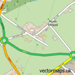
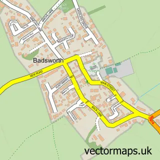
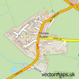
Nearby street map samples around Upton

More street maps in West Yorkshire
750 metre map area coverage
Boundary, postcode and point of interest information for the 750m x 750m rectangle centred on this sample map.
Boundaries containing map centre
Constituency: Normanton and Hemsworth Co Const
District: Wakefield District (B)
Icb: NHS West Yorkshire ICB
Parish: Upton and North Elmsall CP
Police Force: west yorkshire
Postcode District: WF9
Postcode Sector: WF9 1
Ward: Ackworth, North Elmsall and Upton Ward
Nearby boundaries intersecting sample
Postcode Sector: WF9 2
Postcode coverage
POI category counts
Convenience Store: 4
Automotive Repair: 3
Beauty And Spa: 3
Beauty Salon: 3
Building Supply Store: 2
Church Cathedral: 2
Pizza Restaurant: 2
Post Office: 2
Advertising Agency: 1
Alternative Medicine: 1
Sample points of interest
- Be My Social
- Chris Pearson
- The Upton Arms With Letting Rooms
- A1 Car Sales
- A1 Car Recyclers
- A1 Car Recyclers
- New Lane Service Centre
- Upton Panel Beating
- Hairrazor barbers
- Aurora Aesthetics
- Clinica Magica Aesthetics
- L A Techniques Hair, Nails, Beauty and Aesthetics
Create a larger editable map of Upton
This sample shows only a 750 metre area. To create a larger map of Upton, use our map builder to choose your own coverage area, add titles and download editable SVG, PDF and PNG files.
Create a custom map of Upton