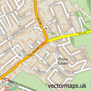
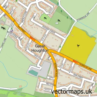
This South Kirkby street map is a detailed vector street map covering a 750m x 750m area. Select a larger area to create and download your own vector street map of South Kirkby.
The 750-metre map sample for South Kirkby covers 588 mapped buildings and approximately 20.2 km of road detail, of which 42 named roads are named. The immediate area includes 4 GP surgeries within 2 miles and 9 MOT stations within 2 miles. The wider area around South Kirkby features 1 food and drink venue. To create a larger or custom map of South Kirkby, the map builder lets you define your own coverage area and download editable SVG, PDF and PNG files.
Create a larger editable map of South Kirkby
Choose any area you need and generate a high-quality vector map instantly. Perfect for print, planning, design, business and personal use.

This South Kirkby street map in West Yorkshire is available as downloadable SVG, PDF and PNG map files, or as a printed map for planning, business, display, education, local information and design work. You can also create a larger custom map area using the map selector.
What this South Kirkby map sample shows
South Kirkby lies within South Kirkby And Moorthorpe Cp parish, part of South Elmsall And South Kirkby ward in the Wakefield District (B) local authority area. The postcode geography for this area includes the WF postcode area, the WF9 postcode district and the WF9 3 postcode sector. Residents fall under the Nhs West Yorkshire Integrated Care Board for NHS services.
Local features near South Kirkby
Within 2 milesAmenities and services in and around South Kirkby.
Administrative and postcode information for South Kirkby
South Kirkby lies within South Kirkby And Moorthorpe Cp parish, part of South Elmsall And South Kirkby ward in the Wakefield District (B) local authority area. The postcode geography for this area includes the WF postcode area, the WF9 postcode district and the WF9 3 postcode sector. Residents fall under the Nhs West Yorkshire Integrated Care Board for NHS services.
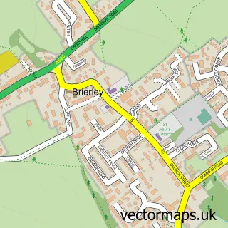
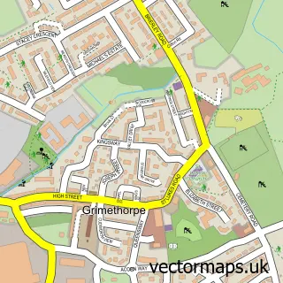
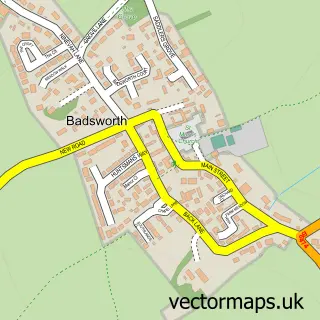
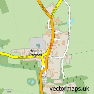
Nearby street map samples around South Kirkby

More street maps in West Yorkshire
750 metre map area coverage
Boundary, postcode and point of interest information for the 750m x 750m rectangle centred on this sample map.
Boundaries containing map centre
Constituency: Normanton and Hemsworth Co Const
District: Wakefield District (B)
Icb: NHS West Yorkshire ICB
Parish: South Kirkby and Moorthorpe CP
Police Force: west yorkshire
Postcode District: WF9
Postcode Sector: WF9 3
Ward: South Elmsall and South Kirkby Ward
Nearby boundaries intersecting sample
No additional intersecting boundaries found.
Postcode coverage
POI category counts
Convenience Store: 3
Package Locker: 3
Atms: 2
Betting Center: 2
Building Supply Store: 2
Contractor: 2
Flowers And Gifts Shop: 2
Hair Salon: 2
Hardware Store: 2
Rental Kiosks: 2
Sample points of interest
- Prince of Wales Hospice
- The Sycamores
- Morrisons Daily - South Kirkby Mill Lane
- The Cooperative Food (BF) 1 White Apron St (ERF), South Kirkby
- Aspin Vehicles
- D E Motor Spares
- Liquid Spirit South Kirkby
- DIVA Aesthetics & Beauty
- Betfred
- Betfred
- Huws Gray
- Huws Gray South Kirkby
Create a larger editable map of South Kirkby
This sample shows only a 750 metre area. To create a larger map of South Kirkby, use our map builder to choose your own coverage area, add titles and download editable SVG, PDF and PNG files.
Create a custom map of South Kirkby