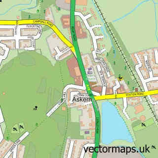
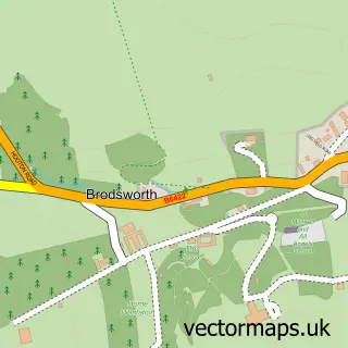
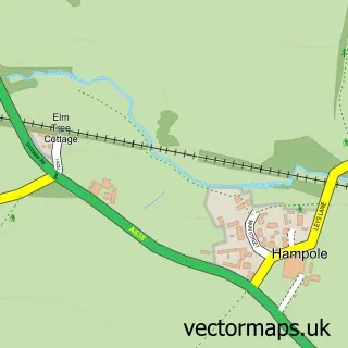
This Woodlands street map is a detailed vector street map covering a 750m x 750m area. Select a larger area to create and download your own vector street map of Woodlands.
The 750-metre map sample for Woodlands covers 380 mapped buildings and approximately 21.2 km of road detail, of which 21 named roads are named. The immediate area includes 1 school, 2 GP surgeries within 2 miles and 8 MOT stations within 2 miles. The wider area around Woodlands features 1 tourism point of interest and 1 food and drink venue. To create a larger or custom map of Woodlands, the map builder lets you define your own coverage area and download editable SVG, PDF and PNG files.
Create a larger editable map of Woodlands
Choose any area you need and generate a high-quality vector map instantly. Perfect for print, planning, design, business and personal use.

This Woodlands street map in South Yorkshire is available as downloadable SVG, PDF and PNG map files, or as a printed map for planning, business, display, education, local information and design work. You can also create a larger custom map area using the map selector.
What this Woodlands map sample shows
Woodlands lies within Doncaster District (B) parish, part of Adwick Le Street & Carcroft ward in the Doncaster District (B) local authority area. The postcode geography for this area includes the DN postcode area, the DN6 postcode district and the DN6 7 postcode sector. Residents fall under the Nhs South Yorkshire Integrated Care Board for NHS services.
Local features near Woodlands
Within 2 milesAmenities and services in and around Woodlands.
Administrative and postcode information for Woodlands
Woodlands lies within Doncaster District (B) parish, part of Adwick Le Street & Carcroft ward in the Doncaster District (B) local authority area. The postcode geography for this area includes the DN postcode area, the DN6 postcode district and the DN6 7 postcode sector. Residents fall under the Nhs South Yorkshire Integrated Care Board for NHS services.
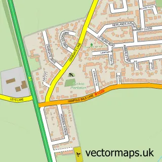
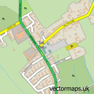
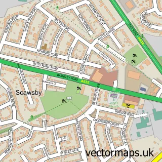
Nearby street map samples around Woodlands

More street maps in South Yorkshire
750 metre map area coverage
Boundary, postcode and point of interest information for the 750m x 750m rectangle centred on this sample map.
Boundaries containing map centre
Constituency: Doncaster North Co Const
District: Doncaster District (B)
Icb: NHS South Yorkshire ICB
Police Force: south yorkshire
Postcode District: DN6
Postcode Sector: DN6 7
Ward: Adwick le Street & Carcroft Ward
Nearby boundaries intersecting sample
Parish: Brodsworth CP
Postcode District: DN5
Postcode Sector: DN5 7
Ward: Sprotbrough Ward
Postcode coverage
POI category counts
Beauty Salon: 5
Retail: 5
Aquatic Pet Store: 4
Hair Salon: 4
Pharmacy: 4
Automotive Repair: 3
Post Office: 3
Bar: 2
Barber: 2
Betting Center: 2
Sample points of interest
- Edward Marcus Ltd.
- @Fromfryfishfarm
- Fromfryfishfarm
- Fromfryfishfarm 2021
- from fry fish farm
- Frazzled Cat Productions
- Panda garden
- Santander
- JW CARS Body Shop
- G and J Repairs
- Rim Master
- Woodlands Service Centre
Create a larger editable map of Woodlands
This sample shows only a 750 metre area. To create a larger map of Woodlands, use our map builder to choose your own coverage area, add titles and download editable SVG, PDF and PNG files.
Create a custom map of Woodlands