Vector Maps logo
Home Why it works Popular maps Districts Samples Customizer Create Your Map
VectorMaps.uk
Home Popular maps Districts Samples Customizer Create Your Map Privacy Disclaimer
Home / UK Maps / South Yorkshire / Toll Bar Map

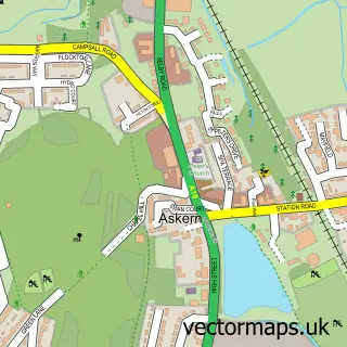
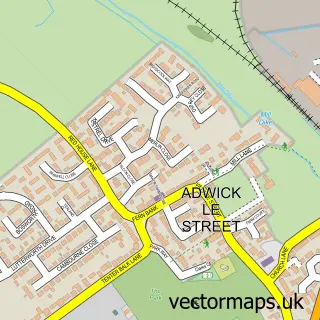
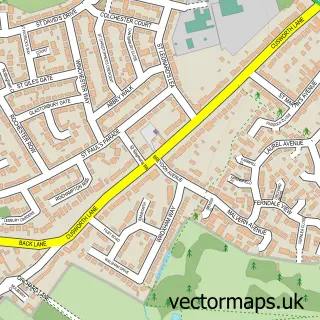
This Toll Bar street map is a detailed vector street map covering a 750m x 750m area. Select a larger area to create and download your own vector street map of Toll Bar.

Toll Bar is a village in South Yorkshire, in the Yorkshire And The Humber of England. Historically, the area formed part of Yorkshire. The settlement falls within the Doncaster North parliamentary constituency. It is served by the DN5 postcode district, w

The 750-metre map sample for Toll Bar covers 238 mapped buildings and approximately 9.1 km of road detail, of which 15 named roads are named. The immediate area includes 1 school, 4 GP surgeries within 2 miles and 11 MOT stations within 2 miles. To create a larger or custom map of Toll Bar, the map builder lets you define your own coverage area and download editable SVG, PDF and PNG files.

238Buildings
9.13 kmRoads
15Named roads
13,947Residents within 2 miles
Create your own

Create a larger editable map of Toll Bar

Choose any area you need and generate a high-quality vector map instantly. Perfect for print, planning, design, business and personal use.

Choose any location
Editable SVG files
Any size up to A0
PDF, PNG & more
Instant download
High quality guaranteed
Create My Custom Map
Secure, private & no credit card required
Toll Bar Vector Street Map
750m Sample
Toll Bar vector street map sample showing roads, buildings and local features in a 750 metre preview area
Buy Toll Bar Map Print from £12.95 Buy Toll Bar Digital Map from £6

This Toll Bar street map in South Yorkshire is available as downloadable SVG, PDF and PNG map files, or as a printed map for planning, business, display, education, local information and design work. You can also create a larger custom map area using the map selector.

What this Toll Bar map sample shows

Toll Bar lies within Doncaster District (B) parish, part of Bentley ward in the Doncaster District (B) local authority area. The postcode geography for this area includes the DN postcode area, the DN5 postcode district and the DN5 0 postcode sector. Residents fall under the Nhs South Yorkshire Integrated Care Board for NHS services.

Local features near Toll Bar

Within 2 miles

Amenities and services in and around Toll Bar.

1 Schools
4 GP surgeries within 2 miles
11 MOT stations within 2 miles
3 Vehicle services

Counts are approximate and based on publicly available data.

Administrative and postcode information for Toll Bar

Toll Bar lies within Doncaster District (B) parish, part of Bentley ward in the Doncaster District (B) local authority area. The postcode geography for this area includes the DN postcode area, the DN5 postcode district and the DN5 0 postcode sector. Residents fall under the Nhs South Yorkshire Integrated Care Board for NHS services.

Parish DONCASTER DISTRICT (B)
Ward Bentley
District / local authority Doncaster District (B)
County South Yorkshire
Historic county Yorkshire
Postcode district DN5
Postcode sector DN5 0
Parliamentary constituency Doncaster North
Region Yorkshire and the Humber
Country England

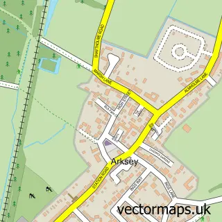
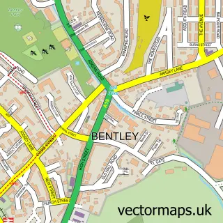
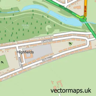
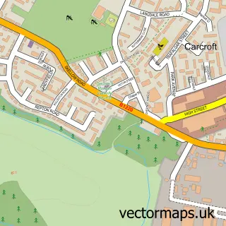
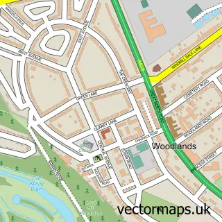
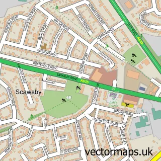
Nearby street map samples around Toll Bar

Street map sample of Askern, South Yorkshire Askern Town - South Yorkshire - 3.5 miles Street map sample of Doncaster, South Yorkshire Doncaster City - South Yorkshire - 3.1 miles Street map sample of Arksey, South Yorkshire Arksey Village - South Yorkshire - 1.3 miles Street map sample of Bentley, South Yorkshire Bentley Village - South Yorkshire - 1.4 miles Street map sample of Highfields, South Yorkshire Highfields Village - South Yorkshire - 1.5 miles Street map sample of Adwick le Street, South Yorkshire Adwick le Street Village - South Yorkshire - 1.5 miles Street map sample of Carcroft, South Yorkshire Carcroft Village - South Yorkshire - 1.8 miles Street map sample of Woodlands, South Yorkshire Woodlands Village - South Yorkshire - 1.8 miles Street map sample of Scawsby, South Yorkshire Scawsby Village - South Yorkshire - 2.1 miles Street map sample of Cusworth, South Yorkshire Cusworth Village - South Yorkshire - 2.4 miles

More street maps in South Yorkshire

Street map sample of Arksey, South Yorkshire Arksey Village - 1.3 miles Street map sample of Bentley, South Yorkshire Bentley Village - 1.4 miles Street map sample of Highfields, South Yorkshire Highfields Village - 1.5 miles Street map sample of Adwick le Street, South Yorkshire Adwick le Street Village - 1.5 miles Street map sample of Carcroft, South Yorkshire Carcroft Village - 1.8 miles

750 metre map area coverage

Boundary, postcode and point of interest information for the 750m x 750m rectangle centred on this sample map.

Boundaries containing map centre

Constituency: Doncaster North Co Const

District: Doncaster District (B)

Icb: NHS South Yorkshire ICB

Police Force: south yorkshire

Postcode District: DN5

Postcode Sector: DN5 0

Ward: Bentley Ward

Nearby boundaries intersecting sample

No additional intersecting boundaries found.

Postcode coverage

DN5 DN5 0

POI category counts

Automotive Repair: 3

Animal Shelter: 2

Chimney Sweep: 2

Accountant: 1

Advertising Agency: 1

Alternative Medicine: 1

Bar And Grill Restaurant: 1

Barbecue Restaurant: 1

Beauty And Spa: 1

Beauty Salon: 1

Sample points of interest

  • Davison & Co. Accountants Accountant
  • Webcrunch Advertising Agency
  • Reiki Doncaster Alternative Medicine
  • Oakwood Boarding Kennels & Cattery Animal Shelter
  • Vets Animal Shelter
  • CJC Cars Automotive Repair
  • Doncaster Motor Spares Automotive Repair
  • Whitehall Motors Automotive Repair
  • Toll Bar Grill Bar And Grill Restaurant
  • Topscale Roofing Barbecue Restaurant
  • J K Quality Beauty And Spa
  • Envie me beauty Beauty Salon

Create a larger editable map of Toll Bar

This sample shows only a 750 metre area. To create a larger map of Toll Bar, use our map builder to choose your own coverage area, add titles and download editable SVG, PDF and PNG files.

Create a custom map of Toll Bar

Phone 01751 473136 | Copyright Vectormaps.uk 2026

Samples Customizer Privacy Disclaimer
Toll Bar Vector Street Map
Toll Bar enlarged street map sample showing a 750 metre preview area