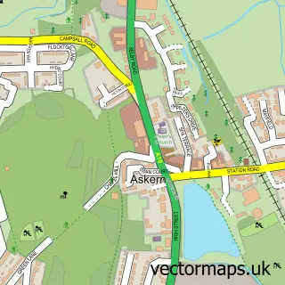
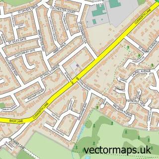
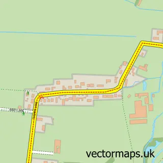
This Arksey street map is a detailed vector street map covering a 750m x 750m area. Select a larger area to create and download your own vector street map of Arksey.
The 750-metre map sample for Arksey covers 285 mapped buildings and approximately 15.4 km of road detail, of which 19 named roads are named. The immediate area includes 3 GP surgeries within 2 miles, 2 pubs and 21 MOT stations within 2 miles. The wider area around Arksey features 2 tourism points of interest and 2 food and drink venues. To create a larger or custom map of Arksey, the map builder lets you define your own coverage area and download editable SVG, PDF and PNG files.
Create a larger editable map of Arksey
Choose any area you need and generate a high-quality vector map instantly. Perfect for print, planning, design, business and personal use.

This Arksey street map in South Yorkshire is available as downloadable SVG, PDF and PNG map files, or as a printed map for planning, business, display, education, local information and design work. You can also create a larger custom map area using the map selector.
What this Arksey map sample shows
Arksey lies within Doncaster District (B) parish, part of Bentley ward in the Doncaster District (B) local authority area. The postcode geography for this area includes the DN postcode area, the DN5 postcode district and the DN5 0 postcode sector. Residents fall under the Nhs South Yorkshire Integrated Care Board for NHS services.
Local features near Arksey
Within 2 milesAmenities and services in and around Arksey.
Administrative and postcode information for Arksey
Arksey lies within Doncaster District (B) parish, part of Bentley ward in the Doncaster District (B) local authority area. The postcode geography for this area includes the DN postcode area, the DN5 postcode district and the DN5 0 postcode sector. Residents fall under the Nhs South Yorkshire Integrated Care Board for NHS services.
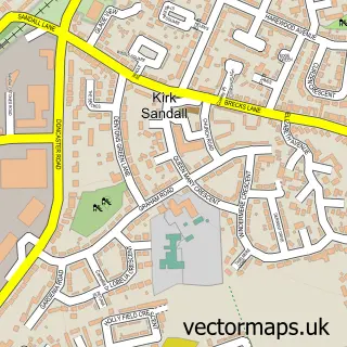
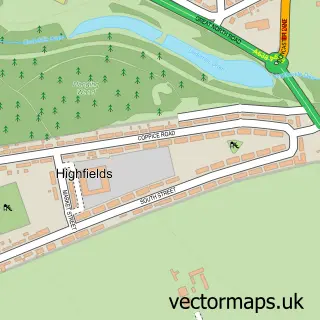
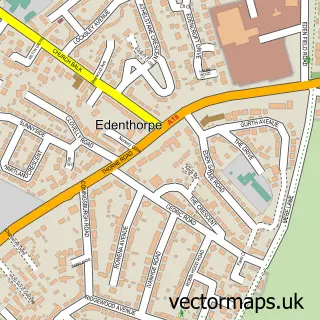
Nearby street map samples around Arksey

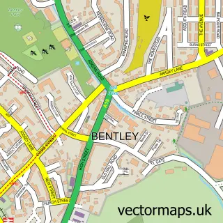
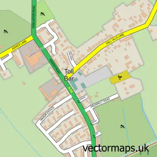
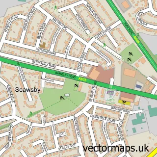
More street maps in South Yorkshire
750 metre map area coverage
Boundary, postcode and point of interest information for the 750m x 750m rectangle centred on this sample map.
Boundaries containing map centre
Constituency: Doncaster North Co Const
District: Doncaster District (B)
Icb: NHS South Yorkshire ICB
Police Force: south yorkshire
Postcode District: DN5
Postcode Sector: DN5 0
Ward: Bentley Ward
Nearby boundaries intersecting sample
No additional intersecting boundaries found.
Postcode coverage
POI category counts
Beauty And Spa: 2
Building Supply Store: 2
Convenience Store: 2
Grocery Store: 2
Painting: 2
Pub: 2
Accommodation: 1
Alternative Medicine: 1
Anglican Church: 1
Arts And Entertainment: 1
Sample points of interest
- Arksey Village
- Practical Peace Hypnotherapy With Paula
- All Saints
- Melody Lane Entertainment
- Beech Tree Hall
- Star Woman Readings
- Autoglass®
- EmpowERZ Beauty
- Paula’s Waxing & Beauty
- N Cann Painting & Decorating
- Nomarks
- HD Forwarding Ltd
Create a larger editable map of Arksey
This sample shows only a 750 metre area. To create a larger map of Arksey, use our map builder to choose your own coverage area, add titles and download editable SVG, PDF and PNG files.
Create a custom map of Arksey