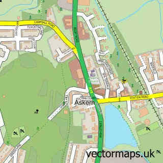
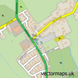
This Thorpe-in-Balne street map is a detailed vector street map covering a 750m x 750m area. Select a larger area to create and download your own vector street map of Thorpe-in-Balne.
The 750-metre map sample for Thorpe-in-Balne covers 78 mapped buildings and approximately 3.6 km of road detail, of which 2 named roads are named. The immediate area includes 1 MOT station within 2 miles. The wider area around Thorpe-in-Balne features 1 tourism point of interest. To create a larger or custom map of Thorpe-in-Balne, the map builder lets you define your own coverage area and download editable SVG, PDF and PNG files.
Create a larger editable map of Thorpe-in-Balne
Choose any area you need and generate a high-quality vector map instantly. Perfect for print, planning, design, business and personal use.

This Thorpe-in-Balne street map in South Yorkshire is available as downloadable SVG, PDF and PNG map files, or as a printed map for planning, business, display, education, local information and design work. You can also create a larger custom map area using the map selector.
What this Thorpe-in-Balne map sample shows
Thorpe-in-Balne lies within Thorpe In Balne Cp parish, part of Norton & Askern ward in the Doncaster District (B) local authority area. The postcode geography for this area includes the DN postcode area, the DN6 postcode district and the DN6 0 postcode sector. Residents fall under the Nhs South Yorkshire Integrated Care Board for NHS services.
Local features near Thorpe-in-Balne
Within 2 milesAmenities and services in and around Thorpe-in-Balne.
Administrative and postcode information for Thorpe-in-Balne
The local authority covering Thorpe-in-Balne is Doncaster District (B), within the county of South Yorkshire. The settlement lies within Norton & Askern ward and Thorpe In Balne Cp civil parish. The DN6 postcode district and DN6 0 postcode sector serve the immediate area. NHS provision in the area is delivered through Doncaster And Bassetlaw Teaching Hospitals Nhs Foundation Trust.
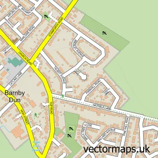
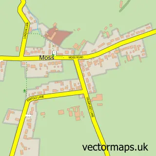
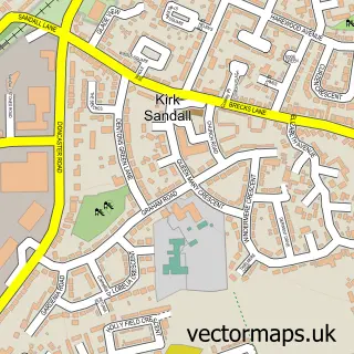
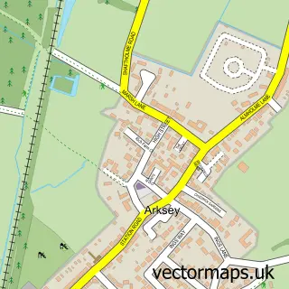
Nearby street map samples around Thorpe-in-Balne

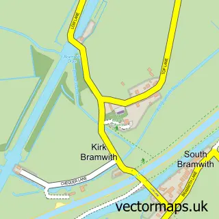
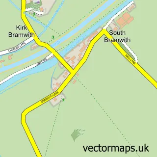
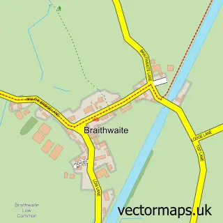
More street maps in South Yorkshire
750 metre map area coverage
Boundary, postcode and point of interest information for the 750m x 750m rectangle centred on this sample map.
Boundaries containing map centre
Constituency: Doncaster North Co Const
District: Doncaster District (B)
Icb: NHS South Yorkshire ICB
Parish: Thorpe in Balne CP
Police Force: south yorkshire
Postcode District: DN6
Postcode Sector: DN6 0
Ward: Norton & Askern Ward
Nearby boundaries intersecting sample
No additional intersecting boundaries found.
Postcode coverage
POI category counts
Building Supply Store: 1
Cottage: 1
Equestrian Facility: 1
Landmark And Historical Building: 1
Pet Services: 1
Sample points of interest
- Flow T E K H D D UK
- Spring Acre Cottage
- The Orchard Equine College and Equestrian Centre
- Thorpe in Balne
- The Forge Dog Grooming
Create a larger editable map of Thorpe-in-Balne
This sample shows only a 750 metre area. To create a larger map of Thorpe-in-Balne, use our map builder to choose your own coverage area, add titles and download editable SVG, PDF and PNG files.
Create a custom map of Thorpe-in-Balne