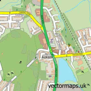
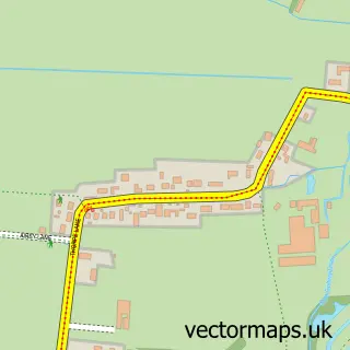
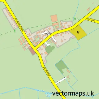
This Moss street map is a detailed vector street map covering a 750m x 750m area. Select a larger area to create and download your own vector street map of Moss.
The 750-metre map sample for Moss covers 172 mapped buildings and approximately 5.9 km of road detail, of which 5 named roads are named. The immediate area includes 1 pub and 1 MOT station within 2 miles. The wider area around Moss features 2 food and drink venues. To create a larger or custom map of Moss, the map builder lets you define your own coverage area and download editable SVG, PDF and PNG files.
Create a larger editable map of Moss
Choose any area you need and generate a high-quality vector map instantly. Perfect for print, planning, design, business and personal use.

This Moss street map in South Yorkshire is available as downloadable SVG, PDF and PNG map files, or as a printed map for planning, business, display, education, local information and design work. You can also create a larger custom map area using the map selector.
What this Moss map sample shows
Moss lies within Moss Cp parish, part of Norton & Askern ward in the Doncaster District (B) local authority area. The postcode geography for this area includes the DN postcode area, the DN6 postcode district and the DN6 0 postcode sector. Residents fall under the Nhs South Yorkshire Integrated Care Board for NHS services.
Local features near Moss
Within 2 milesAmenities and services in and around Moss.
Administrative and postcode information for Moss
The local authority covering Moss is Doncaster District (B), within the county of South Yorkshire. The settlement lies within Norton & Askern ward and Moss Cp civil parish. The DN6 postcode district and DN6 0 postcode sector serve the immediate area. NHS provision in the area is delivered through Doncaster And Bassetlaw Teaching Hospitals Nhs Foundation Trust.
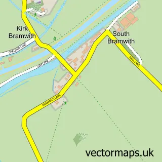
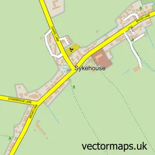
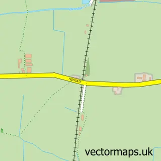
Nearby street map samples around Moss

More street maps in South Yorkshire
750 metre map area coverage
Boundary, postcode and point of interest information for the 750m x 750m rectangle centred on this sample map.
Boundaries containing map centre
Constituency: Doncaster North Co Const
District: Doncaster District (B)
Icb: NHS South Yorkshire ICB
Parish: Moss CP
Police Force: south yorkshire
Postcode District: DN6
Postcode Sector: DN6 0
Ward: Norton & Askern Ward
Nearby boundaries intersecting sample
No additional intersecting boundaries found.
Postcode coverage
POI category counts
Professional Services: 2
Active Life: 1
Business Manufacturing And Supply: 1
Coffee Shop: 1
Equestrian Facility: 1
Gift Shop: 1
Horse Boarding: 1
Industrial Equipment: 1
Pet Store: 1
Pub: 1
Sample points of interest
- Services at Fir Tree Equestrian
- Take 5 Vending Operations
- The Old Hayloft Tea Room
- Fir Tree Farm Equestrian Centre
- Snazzy Horse Gifts
- Moss Farm
- Coast & Counties Contractors Ltd.
- Iron Horse Equestrian Supplies
- Plantland Hire
- Timesheet Solutions
- The Slaughtered Lamb moss
- Iron Horse Equestrian Supplies
Create a larger editable map of Moss
This sample shows only a 750 metre area. To create a larger map of Moss, use our map builder to choose your own coverage area, add titles and download editable SVG, PDF and PNG files.
Create a custom map of Moss