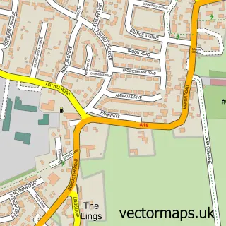
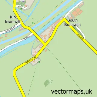
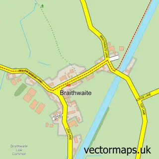
This Kirk Sandall street map is a detailed vector street map covering a 750m x 750m area. Select a larger area to create and download your own vector street map of Kirk Sandall.
The 750-metre map sample for Kirk Sandall covers 570 mapped buildings and approximately 17.9 km of road detail, of which 37 named roads are named. The immediate area includes 2 schools, 3 GP surgeries within 2 miles, 2 pubs and 19 MOT stations within 2 miles. The wider area around Kirk Sandall features 1 tourism point of interest and 5 food and drink venues. To create a larger or custom map of Kirk Sandall, the map builder lets you define your own coverage area and download editable SVG, PDF and PNG files.
Create a larger editable map of Kirk Sandall
Choose any area you need and generate a high-quality vector map instantly. Perfect for print, planning, design, business and personal use.

This Kirk Sandall street map in South Yorkshire is available as downloadable SVG, PDF and PNG map files, or as a printed map for planning, business, display, education, local information and design work. You can also create a larger custom map area using the map selector.
What this Kirk Sandall map sample shows
Kirk Sandall lies within Barnby Dun With Kirk Sandall Cp parish, part of Edenthorpe & Kirk Sandall ward in the Doncaster District (B) local authority area. The postcode geography for this area includes the DN postcode area, the DN3 postcode district and the DN3 1 postcode sector. Residents fall under the Nhs South Yorkshire Integrated Care Board for NHS services.
Local features near Kirk Sandall
Within 2 milesAmenities and services in and around Kirk Sandall.
Administrative and postcode information for Kirk Sandall
The local authority covering Kirk Sandall is Doncaster District (B), within the county of South Yorkshire. The settlement lies within Edenthorpe & Kirk Sandall ward and Barnby Dun With Kirk Sandall Cp civil parish. The DN3 postcode district and DN3 1 postcode sector serve the immediate area. NHS provision in the area is delivered through Doncaster And Bassetlaw Teaching Hospitals Nhs Foundation Trust.
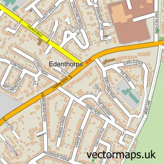
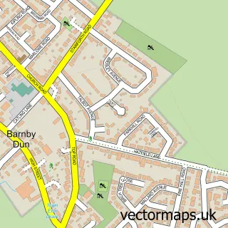
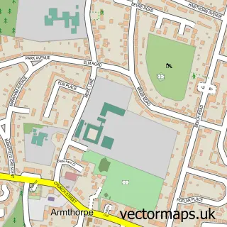
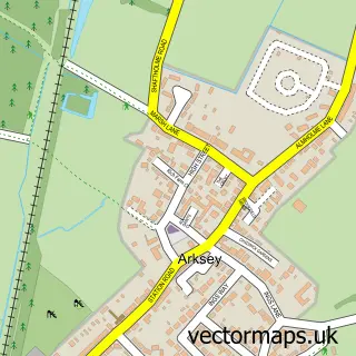
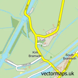
Nearby street map samples around Kirk Sandall

More street maps in South Yorkshire
750 metre map area coverage
Boundary, postcode and point of interest information for the 750m x 750m rectangle centred on this sample map.
Boundaries containing map centre
Constituency: Doncaster Central Co Const
District: Doncaster District (B)
Icb: NHS South Yorkshire ICB
Parish: Barnby Dun with Kirk Sandall CP
Police Force: south yorkshire
Postcode District: DN3
Postcode Sector: DN3 1
Ward: Edenthorpe & Kirk Sandall Ward
Nearby boundaries intersecting sample
Parish: Edenthorpe CP
Postcode Sector: DN3 2
Postcode coverage
POI category counts
Beauty Salon: 5
Building Supply Store: 3
Coffee Shop: 3
Convenience Store: 3
Printing Services: 3
Elementary School: 2
Package Locker: 2
Pest Control Service: 2
Plumbing: 2
Pub: 2
Sample points of interest
- Dentons Green Lane Hall
- The Cooperative Food (BF) Kirk Sandal (ERF), Kirk Sandal
- Tiles N Bathrooms
- Radiant Glow Aesthetics
- Bombshell Beauty Room
- Glow Twenty One
- Slated Beauty
- The Beauty Shed
- The Lash Hut
- C & N Newsagents
- Humber Merchants
- Spencer Fencing
Create a larger editable map of Kirk Sandall
This sample shows only a 750 metre area. To create a larger map of Kirk Sandall, use our map builder to choose your own coverage area, add titles and download editable SVG, PDF and PNG files.
Create a custom map of Kirk Sandall