Vector Maps logo
Home Why it works Popular maps Districts Samples Customizer Create Your Map
VectorMaps.uk
Home Popular maps Districts Samples Customizer Create Your Map Privacy Disclaimer
Home / UK Maps / South Yorkshire / Hatfield Map

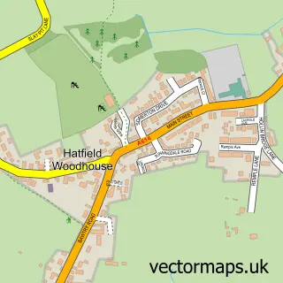
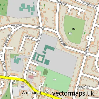
This Hatfield street map is a detailed vector street map covering a 750m x 750m area. Select a larger area to create and download your own vector street map of Hatfield.

Hatfield is a town in South Yorkshire, in the Yorkshire And The Humber of England. Historically, the area formed part of Yorkshire. The settlement falls within the Don Valley parliamentary constituency. It is served by the DN7 postcode district, with DN7

The 750-metre map sample for Hatfield covers 363 mapped buildings and approximately 15.7 km of road detail, of which 33 named roads are named. The immediate area includes 2 schools, 1 GP surgery, with 2 within 2 miles, 3 pubs and 5 MOT stations within 2 miles. The wider area around Hatfield features 6 food and drink venues. To create a larger or custom map of Hatfield, the map builder lets you define your own coverage area and download editable SVG, PDF and PNG files.

363Buildings
15.65 kmRoads
33Named roads
8,692Residents within 2 miles
Create your own

Create a larger editable map of Hatfield

Choose any area you need and generate a high-quality vector map instantly. Perfect for print, planning, design, business and personal use.

Choose any location
Editable SVG files
Any size up to A0
PDF, PNG & more
Instant download
High quality guaranteed
Create My Custom Map
Secure, private & no credit card required
Hatfield Vector Street Map
750m Sample
Hatfield vector street map sample showing roads, buildings and local features in a 750 metre preview area
Buy Hatfield Map Print from £12.95 Buy Hatfield Digital Map from £6

This Hatfield street map in South Yorkshire is available as downloadable SVG, PDF and PNG map files, or as a printed map for planning, business, display, education, local information and design work. You can also create a larger custom map area using the map selector.

What this Hatfield map sample shows

Hatfield lies within Hatfield Cp parish, part of Hatfield ward in the Doncaster District (B) local authority area. The postcode geography for this area includes the DN postcode area, the DN7 postcode district and the DN7 6 postcode sector. Residents fall under the Nhs South Yorkshire Integrated Care Board for NHS services.

Local features near Hatfield

Within 2 miles

Amenities and services in and around Hatfield.

2 Schools
1 GP surgeries 2 within 2 miles
5 MOT stations within 2 miles
6 Food & drink
3 Pubs
3 Healthcare POIs

Counts are approximate and based on publicly available data.

Administrative and postcode information for Hatfield

Hatfield lies within Hatfield Cp parish, part of Hatfield ward in the Doncaster District (B) local authority area. The postcode geography for this area includes the DN postcode area, the DN7 postcode district and the DN7 6 postcode sector. Residents fall under the Nhs South Yorkshire Integrated Care Board for NHS services.

Parish Hatfield CP
Ward Hatfield
District / local authority Doncaster District (B)
County South Yorkshire
Historic county Yorkshire
Postcode district DN7
Postcode sector DN7 6
Parliamentary constituency Don Valley
Region Yorkshire and the Humber
Country England

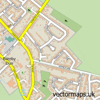
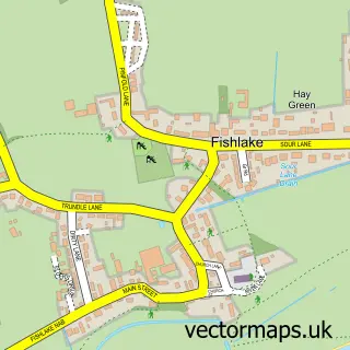
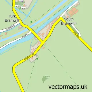
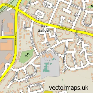
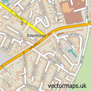
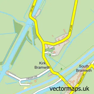
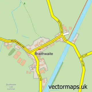
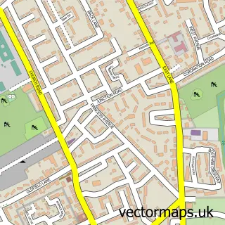
Nearby street map samples around Hatfield

Street map sample of Doncaster, South Yorkshire Doncaster City - South Yorkshire - 6.4 miles Street map sample of Hatfield Woodhouse, South Yorkshire Hatfield Woodhouse Village - South Yorkshire - 1.2 miles Street map sample of Barnby Dun, South Yorkshire Barnby Dun Village - South Yorkshire - 2.5 miles Street map sample of Fishlake, South Yorkshire Fishlake Village - South Yorkshire - 2.7 miles Street map sample of South Bramwith, South Yorkshire South Bramwith Village - South Yorkshire - 2.7 miles Street map sample of Kirk Sandall, South Yorkshire Kirk Sandall Village - South Yorkshire - 2.8 miles Street map sample of Edenthorpe, South Yorkshire Edenthorpe Village - South Yorkshire - 2.9 miles Street map sample of Kirk Bramwith, South Yorkshire Kirk Bramwith Village - South Yorkshire - 3.0 miles Street map sample of Braithwaite, South Yorkshire Braithwaite Village - South Yorkshire - 3.3 miles Street map sample of Armthorpe, South Yorkshire Armthorpe Village - South Yorkshire - 3.3 miles

More street maps in South Yorkshire

Street map sample of Hatfield Woodhouse, South Yorkshire Hatfield Woodhouse Village - 1.2 miles Street map sample of Stainforth, South Yorkshire Stainforth Town - 1.8 miles Street map sample of Barnby Dun, South Yorkshire Barnby Dun Village - 2.5 miles Street map sample of Fishlake, South Yorkshire Fishlake Village - 2.7 miles Street map sample of South Bramwith, South Yorkshire South Bramwith Village - 2.7 miles

750 metre map area coverage

Boundary, postcode and point of interest information for the 750m x 750m rectangle centred on this sample map.

Boundaries containing map centre

Constituency: Doncaster East and the Isle of Axholme Co Const

District: Doncaster District (B)

Icb: NHS South Yorkshire ICB

Parish: Hatfield CP

Police Force: south yorkshire

Postcode District: DN7

Postcode Sector: DN7 6

Ward: Hatfield Ward

Nearby boundaries intersecting sample

Postcode Sector: DN7 4

Postcode coverage

DN7 DN7 6 DN7 4

POI category counts

Pub: 3

Barber: 2

Chinese Restaurant: 2

Electrician: 2

Hair Salon: 2

Hvac Supplier: 2

Professional Services: 2

Restaurant: 2

Retirement Home: 2

Beauty And Spa: 1

Sample points of interest

  • Dan The Barber Barber
  • Lockwood Barber Studio Barber
  • Hair by Chloe Beauty And Spa
  • Armonia Beauty Salon
  • Hatfield Chace Beer Bar
  • Tickled Pink Bridal Bridal Shop
  • The Barn Kitchen Cafe
  • Hatfield Visual Arts College Campus Building
  • Fortune Restaurant Chinese Restaurant
  • Open Kitchen Chinese Restaurant
  • Go Local Extra Convenience Store
  • Hatfield Town Cricket Club Cricket Ground

Create a larger editable map of Hatfield

This sample shows only a 750 metre area. To create a larger map of Hatfield, use our map builder to choose your own coverage area, add titles and download editable SVG, PDF and PNG files.

Create a custom map of Hatfield

Phone 01751 473136 | Copyright Vectormaps.uk 2026

Samples Customizer Privacy Disclaimer
Hatfield Vector Street Map
Hatfield enlarged street map sample showing a 750 metre preview area