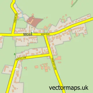
This Stainforth street map is a detailed vector street map covering a 750m x 750m area. Select a larger area to create and download your own vector street map of Stainforth.
The 750-metre map sample for Stainforth covers 548 mapped buildings and approximately 19.7 km of road detail, of which 24 named roads are named. The immediate area includes 2 GP surgeries within 2 miles, 1 pub and 6 MOT stations within 2 miles. The wider area around Stainforth features 1 food and drink venue. To create a larger or custom map of Stainforth, the map builder lets you define your own coverage area and download editable SVG, PDF and PNG files.
Create a larger editable map of Stainforth
Choose any area you need and generate a high-quality vector map instantly. Perfect for print, planning, design, business and personal use.

This Stainforth street map in South Yorkshire is available as downloadable SVG, PDF and PNG map files, or as a printed map for planning, business, display, education, local information and design work. You can also create a larger custom map area using the map selector.
What this Stainforth map sample shows
Stainforth lies within Stainforth Cp parish, part of Stainforth & Barnby Dun ward in the Doncaster District (B) local authority area. The postcode geography for this area includes the DN postcode area, the DN7 postcode district and the DN7 5 postcode sector. Residents fall under the Nhs South Yorkshire Integrated Care Board for NHS services.
Local features near Stainforth
Within 2 milesAmenities and services in and around Stainforth.
Administrative and postcode information for Stainforth
Stainforth lies within Stainforth Cp parish, part of Stainforth & Barnby Dun ward in the Doncaster District (B) local authority area. The postcode geography for this area includes the DN postcode area, the DN7 postcode district and the DN7 5 postcode sector. Residents fall under the Nhs South Yorkshire Integrated Care Board for NHS services.
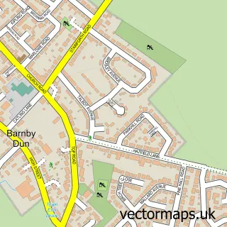
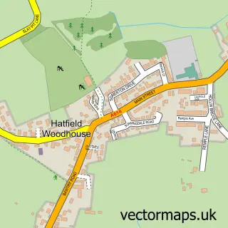
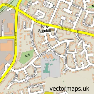
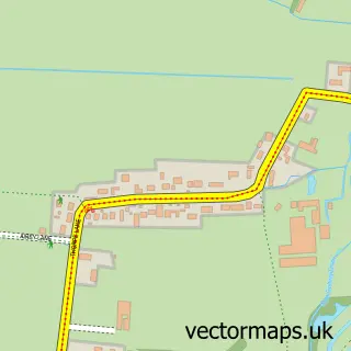
Nearby street map samples around Stainforth

More street maps in South Yorkshire
750 metre map area coverage
Boundary, postcode and point of interest information for the 750m x 750m rectangle centred on this sample map.
Boundaries containing map centre
Constituency: Doncaster North Co Const
District: Doncaster District (B)
Icb: NHS South Yorkshire ICB
Parish: Stainforth CP
Police Force: south yorkshire
Postcode District: DN7
Postcode Sector: DN7 5
Ward: Stainforth & Barnby Dun Ward
Nearby boundaries intersecting sample
No additional intersecting boundaries found.
Postcode coverage
POI category counts
Dentist: 4
Automotive Repair: 2
Beauty Salon: 2
Community Center: 2
Contractor: 2
Convenience Store: 2
Flowers And Gifts Shop: 2
Professional Services: 2
Social Service Organizations: 2
Train Station: 2
Sample points of interest
- Asia Wok
- Oldfield House - Runwood Homes
- Carousel Superstore (Swap), Stainsforth
- Avon windscreens UK
- A H Motoservice
- Yorkshire Triumphs
- HSBC Bank
- Replenish
- Reveal stainforth
- Fighting For Good - Non contact boxing
- DKS Utilities Ltd
- Millcroft Health and Safety Services Limited
Create a larger editable map of Stainforth
This sample shows only a 750 metre area. To create a larger map of Stainforth, use our map builder to choose your own coverage area, add titles and download editable SVG, PDF and PNG files.
Create a custom map of Stainforth