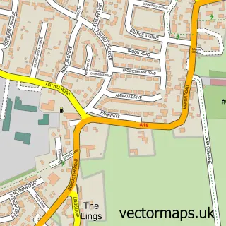
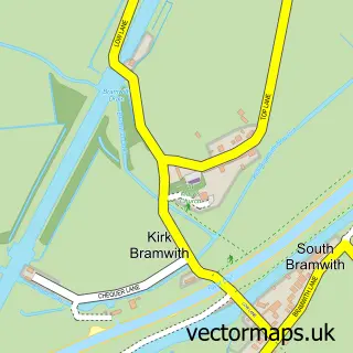
This Hatfield Woodhouse street map is a detailed vector street map covering a 750m x 750m area. Select a larger area to create and download your own vector street map of Hatfield Woodhouse.
The 750-metre map sample for Hatfield Woodhouse covers 235 mapped buildings and approximately 7.9 km of road detail, of which 13 named roads are named. The immediate area includes 1 school, 1 GP surgery within 2 miles and 3 MOT stations within 2 miles. To create a larger or custom map of Hatfield Woodhouse, the map builder lets you define your own coverage area and download editable SVG, PDF and PNG files.
Create a larger editable map of Hatfield Woodhouse
Choose any area you need and generate a high-quality vector map instantly. Perfect for print, planning, design, business and personal use.

This Hatfield Woodhouse street map in South Yorkshire is available as downloadable SVG, PDF and PNG map files, or as a printed map for planning, business, display, education, local information and design work. You can also create a larger custom map area using the map selector.
What this Hatfield Woodhouse map sample shows
Hatfield Woodhouse lies within Hatfield Cp parish, part of Hatfield ward in the Doncaster District (B) local authority area. The postcode geography for this area includes the DN postcode area, the DN7 postcode district and the DN7 6 postcode sector. Residents fall under the Nhs South Yorkshire Integrated Care Board for NHS services.
Local features near Hatfield Woodhouse
Within 2 milesAmenities and services in and around Hatfield Woodhouse.
Administrative and postcode information for Hatfield Woodhouse
The local authority covering Hatfield Woodhouse is Doncaster District (B), within the county of South Yorkshire. The settlement lies within Hatfield ward and Hatfield Cp civil parish. The DN7 postcode district and DN7 6 postcode sector serve the immediate area. NHS provision in the area is delivered through Doncaster And Bassetlaw Teaching Hospitals Nhs Foundation Trust.
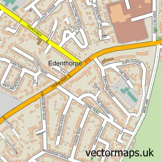
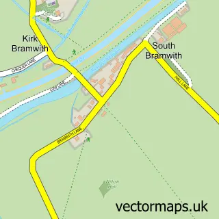
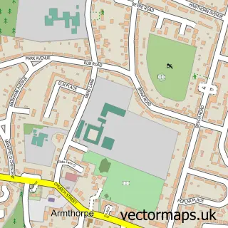
Nearby street map samples around Hatfield Woodhouse

More street maps in South Yorkshire
750 metre map area coverage
Boundary, postcode and point of interest information for the 750m x 750m rectangle centred on this sample map.
Boundaries containing map centre
Constituency: Doncaster East and the Isle of Axholme Co Const
District: Doncaster District (B)
Icb: NHS South Yorkshire ICB
Parish: Hatfield CP
Police Force: south yorkshire
Postcode District: DN7
Postcode Sector: DN7 6
Ward: Hatfield Ward
Nearby boundaries intersecting sample
No additional intersecting boundaries found.
Postcode coverage
POI category counts
Pig Farm: 2
Agricultural Service: 1
Beauty Salon: 1
Bicycle Shop: 1
Church Cathedral: 1
Computer Hardware Company: 1
Computer Wholesaler: 1
Contractor: 1
Convenience Store: 1
Dance School: 1
Sample points of interest
- Agrimac (NTH) Ltd t/a Agrimac North
- Louise Mcqueen
- M Check Cycles
- Hatfield Woodhouse Methodist Church
- Active Systems Group Ltd
- Active IT Systems
- Colwill Contracting
- Woodhouse Stores
- Evolve Dance
- Hygge House Nursery at Sunnybank
- Hatfield Flyball
- Local Driving School
Create a larger editable map of Hatfield Woodhouse
This sample shows only a 750 metre area. To create a larger map of Hatfield Woodhouse, use our map builder to choose your own coverage area, add titles and download editable SVG, PDF and PNG files.
Create a custom map of Hatfield Woodhouse