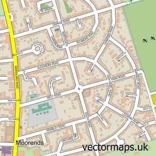
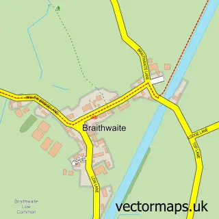
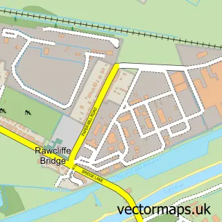
This Thorne street map is a detailed vector street map covering a 750m x 750m area. Select a larger area to create and download your own vector street map of Thorne.
The 750-metre map sample for Thorne covers 434 mapped buildings and approximately 18.5 km of road detail, of which 44 named roads are named. The immediate area includes 1 school, 2 GP surgeries, 7 pubs and 2 MOT stations, with 5 within 2 miles. The wider area around Thorne features 6 tourism points of interest and 17 food and drink venues. To create a larger or custom map of Thorne, the map builder lets you define your own coverage area and download editable SVG, PDF and PNG files.
Create a larger editable map of Thorne
Choose any area you need and generate a high-quality vector map instantly. Perfect for print, planning, design, business and personal use.

This Thorne street map in South Yorkshire is available as downloadable SVG, PDF and PNG map files, or as a printed map for planning, business, display, education, local information and design work. You can also create a larger custom map area using the map selector.
What this Thorne map sample shows
Thorne lies within Thorne Cp parish, part of Thorne & Moorends ward in the Doncaster District (B) local authority area. The postcode geography for this area includes the DN postcode area, the DN8 postcode district and the DN8 5 postcode sector. Residents fall under the Nhs South Yorkshire Integrated Care Board for NHS services.
Local features near Thorne
Within 2 milesAmenities and services in and around Thorne.
Administrative and postcode information for Thorne
Thorne lies within Thorne Cp parish, part of Thorne & Moorends ward in the Doncaster District (B) local authority area. The postcode geography for this area includes the DN postcode area, the DN8 postcode district and the DN8 5 postcode sector. Residents fall under the Nhs South Yorkshire Integrated Care Board for NHS services.
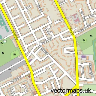
Nearby street map samples around Thorne

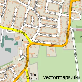
More street maps in South Yorkshire
750 metre map area coverage
Boundary, postcode and point of interest information for the 750m x 750m rectangle centred on this sample map.
Boundaries containing map centre
Constituency: Doncaster East and the Isle of Axholme Co Const
District: Doncaster District (B)
Icb: NHS South Yorkshire ICB
Parish: Thorne CP
Police Force: south yorkshire
Postcode District: DN8
Postcode Sector: DN8 5
Ward: Thorne & Moorends Ward
Nearby boundaries intersecting sample
Postcode Sector: DN8 4
Postcode coverage
POI category counts
Beauty Salon: 11
Pub: 7
Shopping: 7
Beauty And Spa: 6
Hair Salon: 6
Banks: 5
Flowers And Gifts Shop: 5
Pharmacy: 5
Retirement Home: 5
Coffee Shop: 4
Sample points of interest
- Carringtons
- St Nicholas Church
- Sue Ryder Care
- Craft Box
- Thorne Craft Market
- Gordon's Alive
- Stagepalm Entertainment
- Adeline House Care Home
- Community Solutions
- King Street
- PayPoint
- Mortgage Advice Bureau
Create a larger editable map of Thorne
This sample shows only a 750 metre area. To create a larger map of Thorne, use our map builder to choose your own coverage area, add titles and download editable SVG, PDF and PNG files.
Create a custom map of Thorne