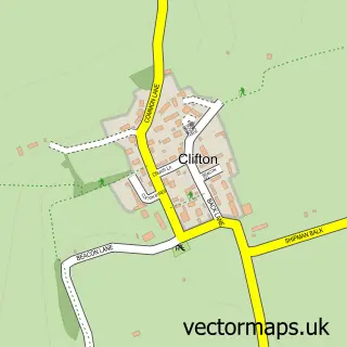
This Loversall street map is a detailed vector street map covering a 750m x 750m area. Select a larger area to create and download your own vector street map of Loversall.
The 750-metre map sample for Loversall covers 54 mapped buildings and approximately 20.0 km of road detail, of which 5 named roads are named. The immediate area includes 2 GP surgeries within 2 miles and 11 MOT stations within 2 miles. To create a larger or custom map of Loversall, the map builder lets you define your own coverage area and download editable SVG, PDF and PNG files.
Create a larger editable map of Loversall
Choose any area you need and generate a high-quality vector map instantly. Perfect for print, planning, design, business and personal use.

This Loversall street map in South Yorkshire is available as downloadable SVG, PDF and PNG map files, or as a printed map for planning, business, display, education, local information and design work. You can also create a larger custom map area using the map selector.
What this Loversall map sample shows
Loversall lies within Loversall Cp parish, part of Tickhill & Wadsworth ward in the Doncaster District (B) local authority area. The postcode geography for this area includes the DN postcode area, the DN11 postcode district and the DN11 9 postcode sector. Residents fall under the Nhs South Yorkshire Integrated Care Board for NHS services.
Local features near Loversall
Within 2 milesAmenities and services in and around Loversall.
Administrative and postcode information for Loversall
The local authority covering Loversall is Doncaster District (B), within the county of South Yorkshire. The settlement lies within Tickhill & Wadsworth ward and Loversall Cp civil parish. The DN11 postcode district and DN11 9 postcode sector serve the immediate area. NHS provision in the area is delivered through Doncaster And Bassetlaw Teaching Hospitals Nhs Foundation Trust.
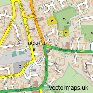
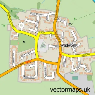
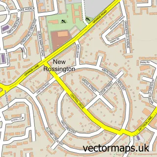
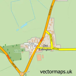
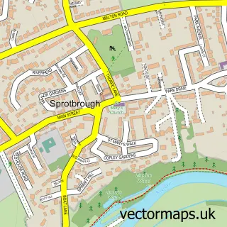
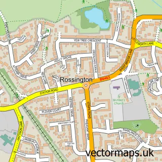
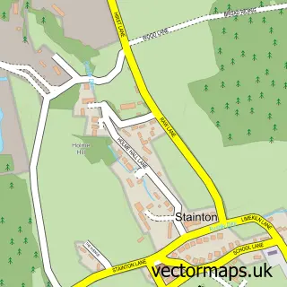
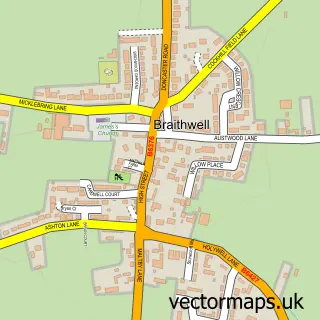
Nearby street map samples around Loversall

More street maps in South Yorkshire
750 metre map area coverage
Boundary, postcode and point of interest information for the 750m x 750m rectangle centred on this sample map.
Boundaries containing map centre
Constituency: Doncaster Central Co Const
District: Doncaster District (B)
Icb: NHS South Yorkshire ICB
Parish: Loversall CP
Police Force: south yorkshire
Postcode District: DN11
Postcode Sector: DN11 9
Ward: Tickhill & Wadsworth Ward
Nearby boundaries intersecting sample
Parish: Wadworth CP
Postcode coverage
POI category counts
Advertising Agency: 1
Car Dealer: 1
Church Cathedral: 1
Computer Store: 1
Electrician: 1
Event Planning: 1
Health And Medical: 1
Holiday Rental Home: 1
Home Service: 1
Pop Up Shop: 1
Sample points of interest
- First Class Design
- Warmsworth Motor Company
- St Katherine
- Automize Ltd.
- Automize Limited
- Unique Occasions at Loversall Limited
- Loversall Hall Practice
- Church View Cottage
- Loversall Farm Day Nursery
- Santa's Grotto at Loversall Farm
- Loversall Farm
- Kingfisher Digital
Create a larger editable map of Loversall
This sample shows only a 750 metre area. To create a larger map of Loversall, use our map builder to choose your own coverage area, add titles and download editable SVG, PDF and PNG files.
Create a custom map of Loversall