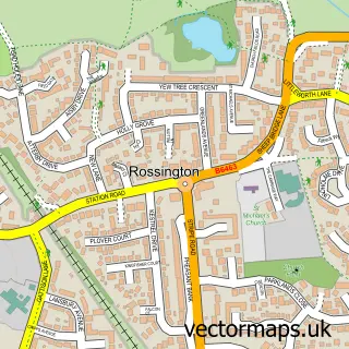
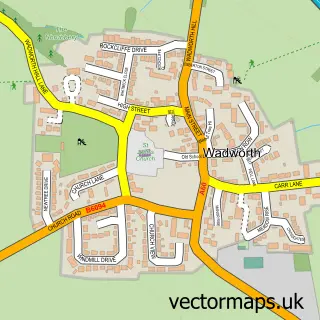
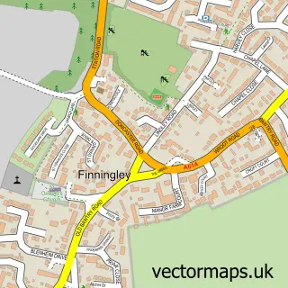
This New Rossington street map is a detailed vector street map covering a 750m x 750m area. Select a larger area to create and download your own vector street map of New Rossington.
The 750-metre map sample for New Rossington covers 536 mapped buildings and approximately 27.8 km of road detail, of which 36 named roads are named. The immediate area includes 1 GP surgery, with 2 within 2 miles and 1 MOT station, with 3 within 2 miles. The wider area around New Rossington features 1 tourism point of interest, 1 food and drink venue and 1 hotel. To create a larger or custom map of New Rossington, the map builder lets you define your own coverage area and download editable SVG, PDF and PNG files.
Create a larger editable map of New Rossington
Choose any area you need and generate a high-quality vector map instantly. Perfect for print, planning, design, business and personal use.

This New Rossington street map in South Yorkshire is available as downloadable SVG, PDF and PNG map files, or as a printed map for planning, business, display, education, local information and design work. You can also create a larger custom map area using the map selector.
What this New Rossington map sample shows
New Rossington lies within Rossington Cp parish, part of Rossington & Bawtry ward in the Doncaster District (B) local authority area. The postcode geography for this area includes the DN postcode area, the DN11 postcode district and the DN11 0 postcode sector. Residents fall under the Nhs South Yorkshire Integrated Care Board for NHS services.
Local features near New Rossington
Within 2 milesAmenities and services in and around New Rossington.
Administrative and postcode information for New Rossington
New Rossington lies within Rossington Cp parish, part of Rossington & Bawtry ward in the Doncaster District (B) local authority area. The postcode geography for this area includes the DN postcode area, the DN11 postcode district and the DN11 0 postcode sector. Residents fall under the Nhs South Yorkshire Integrated Care Board for NHS services.
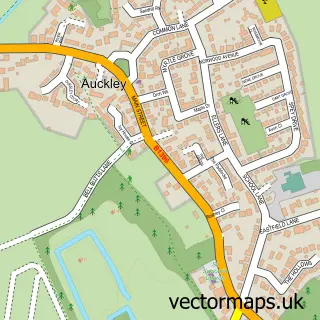
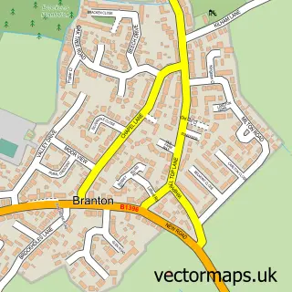
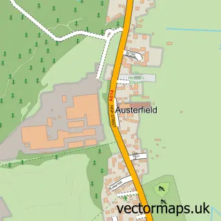
Nearby street map samples around New Rossington

More street maps in South Yorkshire
750 metre map area coverage
Boundary, postcode and point of interest information for the 750m x 750m rectangle centred on this sample map.
Boundaries containing map centre
Constituency: Doncaster East and the Isle of Axholme Co Const
District: Doncaster District (B)
Icb: NHS South Yorkshire ICB
Parish: Rossington CP
Police Force: south yorkshire
Postcode District: DN11
Postcode Sector: DN11 0
Ward: Rossington & Bawtry Ward
Nearby boundaries intersecting sample
No additional intersecting boundaries found.
Postcode coverage
POI category counts
Pharmacy: 4
Day Care Preschool: 3
Dentist: 3
Automotive Repair: 2
Barber: 2
Beauty Salon: 2
Construction Services: 2
Professional Services: 2
Arts And Crafts: 1
Assisted Living Facility: 1
Sample points of interest
- Sunflower Keepsakes
- The Royal Hotel
- Santander
- BullsEye Motorist Centre
- Bullseye
- Rossington Auto Centre
- Baker Boys
- Rossington Community Baptist Church
- Nicky ManCave Barbers
- Taylor's Barbers
- Meraki by Sarah
- Poppies Styling Lounge
Create a larger editable map of New Rossington
This sample shows only a 750 metre area. To create a larger map of New Rossington, use our map builder to choose your own coverage area, add titles and download editable SVG, PDF and PNG files.
Create a custom map of New Rossington