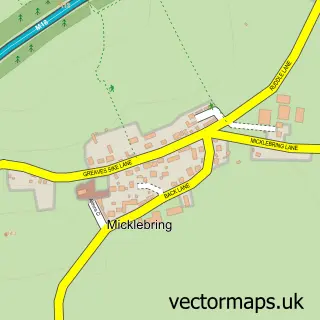
This Wadworth street map is a detailed vector street map covering a 750m x 750m area. Select a larger area to create and download your own vector street map of Wadworth.
The 750-metre map sample for Wadworth covers 325 mapped buildings and approximately 20.4 km of road detail, of which 25 named roads are named. The immediate area includes 1 school, 1 pub and 1 MOT station within 2 miles. The wider area around Wadworth features 1 tourism point of interest and 1 food and drink venue. To create a larger or custom map of Wadworth, the map builder lets you define your own coverage area and download editable SVG, PDF and PNG files.
Create a larger editable map of Wadworth
Choose any area you need and generate a high-quality vector map instantly. Perfect for print, planning, design, business and personal use.

This Wadworth street map in South Yorkshire is available as downloadable SVG, PDF and PNG map files, or as a printed map for planning, business, display, education, local information and design work. You can also create a larger custom map area using the map selector.
What this Wadworth map sample shows
Wadworth lies within Wadworth Cp parish, part of Tickhill & Wadsworth ward in the Doncaster District (B) local authority area. The postcode geography for this area includes the DN postcode area, the DN11 postcode district and the DN11 9 postcode sector. Residents fall under the Nhs South Yorkshire Integrated Care Board for NHS services.
Local features near Wadworth
Within 2 milesAmenities and services in and around Wadworth.
Administrative and postcode information for Wadworth
The local authority covering Wadworth is Doncaster District (B), within the county of South Yorkshire. The settlement lies within Tickhill & Wadsworth ward and Wadworth Cp civil parish. The DN11 postcode district and DN11 9 postcode sector serve the immediate area. NHS provision in the area is delivered through Doncaster And Bassetlaw Teaching Hospitals Nhs Foundation Trust.
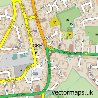
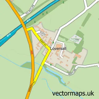
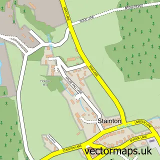
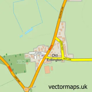
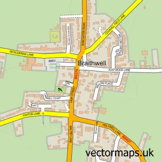
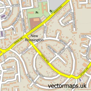
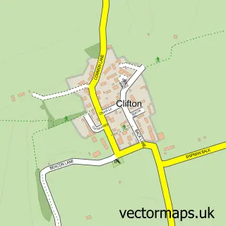
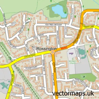
Nearby street map samples around Wadworth

More street maps in South Yorkshire
750 metre map area coverage
Boundary, postcode and point of interest information for the 750m x 750m rectangle centred on this sample map.
Boundaries containing map centre
Constituency: Doncaster Central Co Const
District: Doncaster District (B)
Icb: NHS South Yorkshire ICB
Parish: Wadworth CP
Police Force: south yorkshire
Postcode District: DN11
Postcode Sector: DN11 9
Ward: Tickhill & Wadsworth Ward
Nearby boundaries intersecting sample
No additional intersecting boundaries found.
Postcode coverage
POI category counts
Courier And Delivery Services: 2
Educational Services: 2
Elementary School: 2
Anglican Church: 1
Arts And Crafts: 1
Automotive: 1
Barber: 1
Bookstore: 1
British Restaurant: 1
Butcher Shop: 1
Sample points of interest
- St John the Baptist - Wadworth
- Picture It of Wadworth
- Smartech.
- Wbs Barbers
- Hedgerow Books
- Tweed at Wadworth
- E.V. Slack & Sons
- St John The Baptist Church
- Oven Local
- Wadworth Mini Market
- Evri ParcelShop
- Evri ParcelShop
Create a larger editable map of Wadworth
This sample shows only a 750 metre area. To create a larger map of Wadworth, use our map builder to choose your own coverage area, add titles and download editable SVG, PDF and PNG files.
Create a custom map of Wadworth