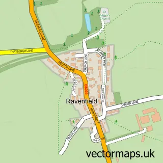
This Braithwell street map is a detailed vector street map covering a 750m x 750m area. Select a larger area to create and download your own vector street map of Braithwell.
The 750-metre map sample for Braithwell covers 304 mapped buildings and approximately 19.0 km of road detail, of which 17 named roads are named. The immediate area includes 3 GP surgeries within 2 miles, 1 pub and 7 MOT stations within 2 miles. The wider area around Braithwell features 1 food and drink venue. To create a larger or custom map of Braithwell, the map builder lets you define your own coverage area and download editable SVG, PDF and PNG files.
Create a larger editable map of Braithwell
Choose any area you need and generate a high-quality vector map instantly. Perfect for print, planning, design, business and personal use.

This Braithwell street map in South Yorkshire is available as downloadable SVG, PDF and PNG map files, or as a printed map for planning, business, display, education, local information and design work. You can also create a larger custom map area using the map selector.
What this Braithwell map sample shows
Braithwell lies within Braithwell Cp parish, part of Tickhill & Wadsworth ward in the Doncaster District (B) local authority area. The postcode geography for this area includes the S postcode area, the S66 postcode district and the S66 7 postcode sector. Residents fall under the Nhs South Yorkshire Integrated Care Board for NHS services.
Local features near Braithwell
Within 2 milesAmenities and services in and around Braithwell.
Administrative and postcode information for Braithwell
The local authority covering Braithwell is Doncaster District (B), within the county of South Yorkshire. The settlement lies within Tickhill & Wadsworth ward and Braithwell Cp civil parish. The S66 postcode district and S66 7 postcode sector serve the immediate area. NHS provision in the area is delivered through Doncaster And Bassetlaw Teaching Hospitals Nhs Foundation Trust.
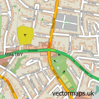
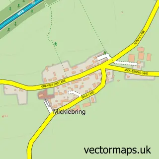
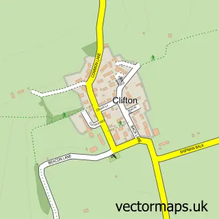
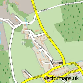
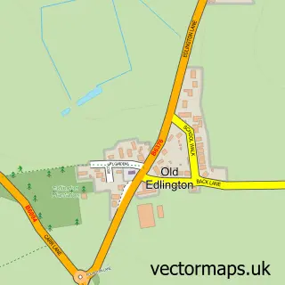
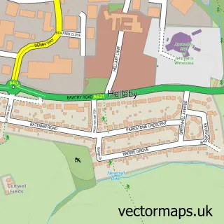
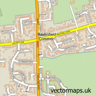
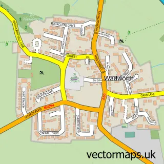
Nearby street map samples around Braithwell

More street maps in South Yorkshire
750 metre map area coverage
Boundary, postcode and point of interest information for the 750m x 750m rectangle centred on this sample map.
Boundaries containing map centre
Constituency: Doncaster Central Co Const
District: Doncaster District (B)
Icb: NHS South Yorkshire ICB
Parish: Braithwell CP
Police Force: south yorkshire
Postcode District: S66
Postcode Sector: S66 7
Ward: Tickhill & Wadsworth Ward
Nearby boundaries intersecting sample
No additional intersecting boundaries found.
Postcode coverage
POI category counts
Beauty Salon: 2
Post Office: 2
Anglican Church: 1
Bakery: 1
Bar: 1
Building Supply Store: 1
Carpenter: 1
Church Cathedral: 1
Cocktail Bar: 1
Comedy Club: 1
Sample points of interest
- St James Braithwell
- Cooplands
- The Ruddle Bar
- Broadlands Aesthetics
- Dooneys Hair Salon
- Surefix Direct
- Neil Turner Bricklaying
- St James's Church
- CAMRIENNE Cocktail Bar - Braithwell
- Ruddy Good Laugh Comedy Club
- The Ruddle Centre
- Top Pave
Create a larger editable map of Braithwell
This sample shows only a 750 metre area. To create a larger map of Braithwell, use our map builder to choose your own coverage area, add titles and download editable SVG, PDF and PNG files.
Create a custom map of Braithwell