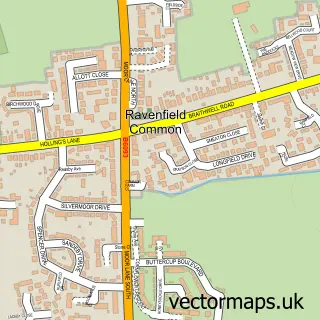
This Maltby street map is a detailed vector street map covering a 750m x 750m area. Select a larger area to create and download your own vector street map of Maltby.
The 750-metre map sample for Maltby covers 497 mapped buildings and approximately 30.5 km of road detail, of which 48 named roads are named. The immediate area includes 1 school, 3 GP surgeries within 2 miles, 5 pubs and 3 MOT stations, with 7 within 2 miles. The wider area around Maltby features 1 tourism point of interest and 14 food and drink venues. To create a larger or custom map of Maltby, the map builder lets you define your own coverage area and download editable SVG, PDF and PNG files.
Create a larger editable map of Maltby
Choose any area you need and generate a high-quality vector map instantly. Perfect for print, planning, design, business and personal use.

This Maltby street map in South Yorkshire is available as downloadable SVG, PDF and PNG map files, or as a printed map for planning, business, display, education, local information and design work. You can also create a larger custom map area using the map selector.
What this Maltby map sample shows
Maltby lies within Maltby Cp parish, part of Maltby ward in the Rotherham District (B) local authority area. The postcode geography for this area includes the S postcode area, the S66 postcode district and the S66 8 postcode sector. Residents fall under the Nhs South Yorkshire Integrated Care Board for NHS services.
Local features near Maltby
Within 2 milesAmenities and services in and around Maltby.
Administrative and postcode information for Maltby
The local authority covering Maltby is Rotherham District (B), within the county of South Yorkshire. The settlement lies within Maltby ward and Maltby Cp civil parish. The S66 postcode district and S66 8 postcode sector serve the immediate area. NHS provision in the area is delivered through The Rotherham Nhs Foundation Trust.
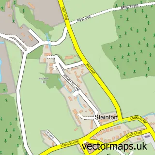
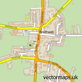
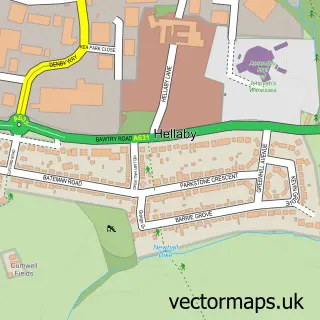
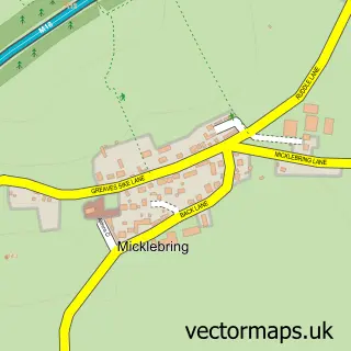
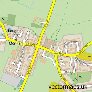
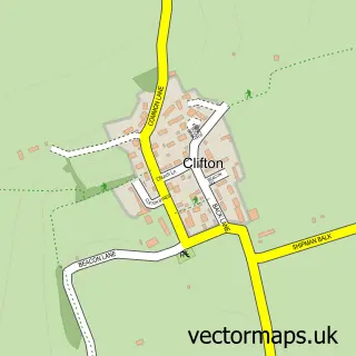
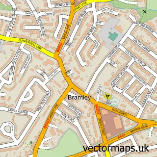
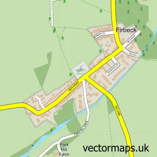
Nearby street map samples around Maltby

More street maps in South Yorkshire
750 metre map area coverage
Boundary, postcode and point of interest information for the 750m x 750m rectangle centred on this sample map.
Boundaries containing map centre
Constituency: Rother Valley Co Const
District: Rotherham District (B)
Icb: NHS South Yorkshire ICB
Parish: Maltby CP
Police Force: south yorkshire
Postcode District: S66
Postcode Sector: S66 7
Ward: Maltby East Ward
Nearby boundaries intersecting sample
Postcode Sector: S66 8
Postcode coverage
POI category counts
Beauty Salon: 14
Convenience Store: 9
Cafe: 6
Pub: 5
Tattoo And Piercing: 5
Discount Store: 4
Hair Salon: 4
Pet Store: 4
Pizza Restaurant: 4
Womens Clothing Store: 4
Sample points of interest
- The Happy Little Craft Shop
- Kevs Tattoos rotherham
- Roche Abbey Care Home
- Ca-Parts Discount Car Spares
- Gemini Cars
- Cooplands
- TSB Bank
- HSBC Bank
- HSBC Bank
- Drinks & Ink
- The Modern Barber
- Beau Tan
Create a larger editable map of Maltby
This sample shows only a 750 metre area. To create a larger map of Maltby, use our map builder to choose your own coverage area, add titles and download editable SVG, PDF and PNG files.
Create a custom map of Maltby