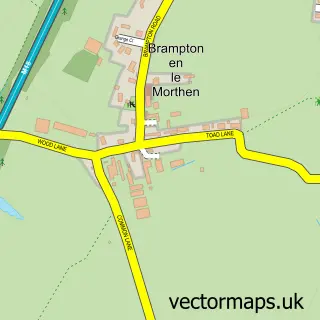
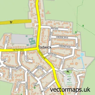
This Laughton-en-le-Morthen street map is a detailed vector street map covering a 750m x 750m area. Select a larger area to create and download your own vector street map of Laughton-en-le-Morthen.
The 750-metre map sample for Laughton-en-le-Morthen covers 293 mapped buildings and approximately 26.8 km of road detail, of which 22 named roads are named. The immediate area includes 2 schools, 1 GP surgery within 2 miles and 9 MOT stations within 2 miles. To create a larger or custom map of Laughton-en-le-Morthen, the map builder lets you define your own coverage area and download editable SVG, PDF and PNG files.
Create a larger editable map of Laughton-en-le-Morthen
Choose any area you need and generate a high-quality vector map instantly. Perfect for print, planning, design, business and personal use.

This Laughton-en-le-Morthen street map in South Yorkshire is available as downloadable SVG, PDF and PNG map files, or as a printed map for planning, business, display, education, local information and design work. You can also create a larger custom map area using the map selector.
What this Laughton-en-le-Morthen map sample shows
Laughton-en-le-Morthen lies within Laughton-En-Le-Morthen Cp parish, part of Dinnington ward in the Rotherham District (B) local authority area. The postcode geography for this area includes the S postcode area, the S25 postcode district and the S25 1 postcode sector. Residents fall under the Nhs South Yorkshire Integrated Care Board for NHS services.
Local features near Laughton-en-le-Morthen
Within 2 milesAmenities and services in and around Laughton-en-le-Morthen.
Administrative and postcode information for Laughton-en-le-Morthen
Laughton-en-le-Morthen lies within Laughton-En-Le-Morthen Cp parish, part of Dinnington ward in the Rotherham District (B) local authority area. The postcode geography for this area includes the S postcode area, the S25 postcode district and the S25 1 postcode sector. Residents fall under the Nhs South Yorkshire Integrated Care Board for NHS services.
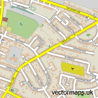
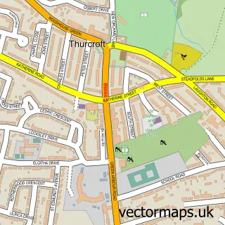
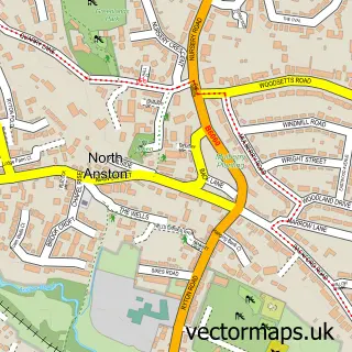
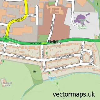
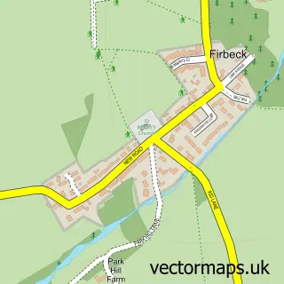
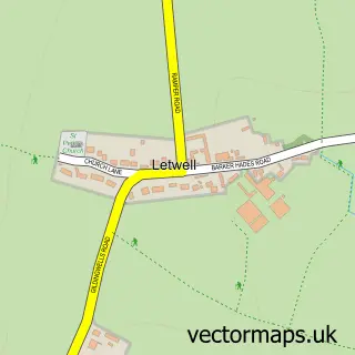
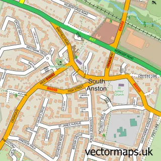
Nearby street map samples around Laughton-en-le-Morthen

More street maps in South Yorkshire
750 metre map area coverage
Boundary, postcode and point of interest information for the 750m x 750m rectangle centred on this sample map.
Boundaries containing map centre
Constituency: Rother Valley Co Const
District: Rotherham District (B)
Icb: NHS South Yorkshire ICB
Parish: Laughton-en-le-Morthen CP
Police Force: south yorkshire
Postcode District: S25
Postcode Sector: S25 1
Ward: Dinnington Ward
Nearby boundaries intersecting sample
Parish: Thurcroft CP
Postcode coverage
POI category counts
Elementary School: 4
Church Cathedral: 3
Automotive Repair: 2
Gym: 2
Pet Store: 2
Anglican Church: 1
Arts And Crafts: 1
Beauty And Spa: 1
Beauty Salon: 1
Community Center: 1
Sample points of interest
- All Saints Laughton en le Morthen
- Fragrance Oils Direct
- Autotronix Developments
- Transgear Units
- Natural Contour Studio
- Secrets of Beauty
- All Saints' Church
- All St Church Laughton
- Laughton Church
- Laughton Village Hall
- Lomas Potatoes
- All Saints Church of England Primary School
Create a larger editable map of Laughton-en-le-Morthen
This sample shows only a 750 metre area. To create a larger map of Laughton-en-le-Morthen, use our map builder to choose your own coverage area, add titles and download editable SVG, PDF and PNG files.
Create a custom map of Laughton-en-le-Morthen