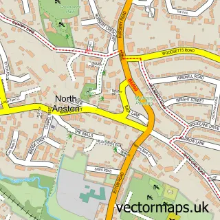
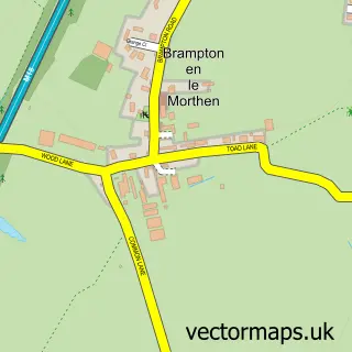
This Dinnington street map is a detailed vector street map covering a 750m x 750m area. Select a larger area to create and download your own vector street map of Dinnington.
The 750-metre map sample for Dinnington covers 566 mapped buildings and approximately 25.8 km of road detail, of which 43 named roads are named. The immediate area includes 1 school, 1 GP surgery within 2 miles and 1 MOT station, with 7 within 2 miles. The wider area around Dinnington features 3 food and drink venues and 1 hotel. To create a larger or custom map of Dinnington, the map builder lets you define your own coverage area and download editable SVG, PDF and PNG files.
Create a larger editable map of Dinnington
Choose any area you need and generate a high-quality vector map instantly. Perfect for print, planning, design, business and personal use.

This Dinnington street map in South Yorkshire is available as downloadable SVG, PDF and PNG map files, or as a printed map for planning, business, display, education, local information and design work. You can also create a larger custom map area using the map selector.
What this Dinnington map sample shows
Dinnington lies within Dinnington St. John's Cp parish, part of Dinnington ward in the Rotherham District (B) local authority area. The postcode geography for this area includes the S postcode area, the S25 postcode district and the S25 2 postcode sector. Residents fall under the Nhs South Yorkshire Integrated Care Board for NHS services.
Local features near Dinnington
Within 2 milesAmenities and services in and around Dinnington.
Administrative and postcode information for Dinnington
Dinnington lies within Dinnington St. John's Cp parish, part of Dinnington ward in the Rotherham District (B) local authority area. The postcode geography for this area includes the S postcode area, the S25 postcode district and the S25 2 postcode sector. Residents fall under the Nhs South Yorkshire Integrated Care Board for NHS services.
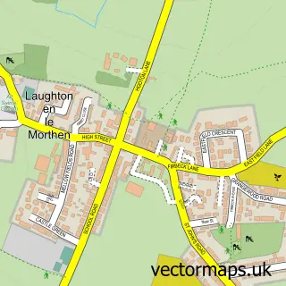
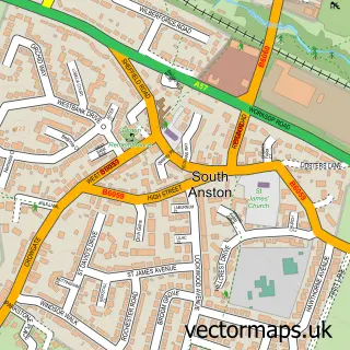
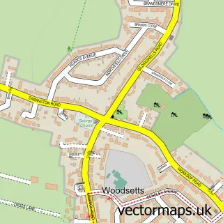
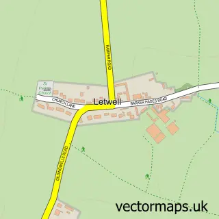
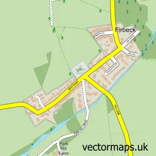
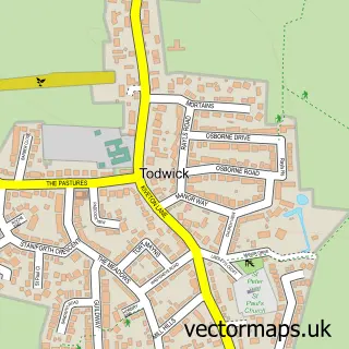
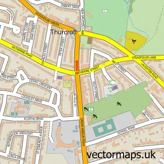
Nearby street map samples around Dinnington

More street maps in South Yorkshire
750 metre map area coverage
Boundary, postcode and point of interest information for the 750m x 750m rectangle centred on this sample map.
Boundaries containing map centre
Constituency: Rother Valley Co Const
District: Rotherham District (B)
Icb: NHS South Yorkshire ICB
Parish: Dinnington St. John's CP
Police Force: south yorkshire
Postcode District: S25
Postcode Sector: S25 2
Ward: Dinnington Ward
Nearby boundaries intersecting sample
No additional intersecting boundaries found.
Postcode coverage
POI category counts
Chinese Restaurant: 4
Church Cathedral: 4
Accountant: 3
Beauty Salon: 3
Community Center: 3
Convenience Store: 3
Elementary School: 3
Fish And Chips Restaurant: 3
Professional Services: 3
Beauty And Spa: 2
Sample points of interest
- Brearley & Co. Accountants - Dinnington
- Cartlidge & Co.
- Marks Bookkeeping & Payroll Bureau
- Dinnington Town Football Club
- Toys n Antiques
- Mat Gee domestic appliance repairs
- Bullseye Motorist Centre
- JnB Mobile Mechanic's
- Tiffany's Cakey Creations
- Gary Marsden
- Hairby Julia
- Kimmi Aesthetics
Create a larger editable map of Dinnington
This sample shows only a 750 metre area. To create a larger map of Dinnington, use our map builder to choose your own coverage area, add titles and download editable SVG, PDF and PNG files.
Create a custom map of Dinnington