Vector Maps logo
Home Why it works Popular maps Districts Samples Customizer Create Your Map
VectorMaps.uk
Home Popular maps Districts Samples Customizer Create Your Map Privacy Disclaimer
Home / UK Maps / South Yorkshire / Firbeck Map

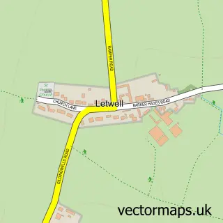
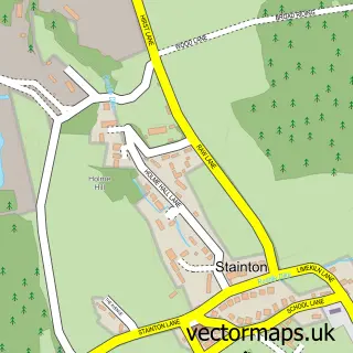
This Firbeck street map is a detailed vector street map covering a 750m x 750m area. Select a larger area to create and download your own vector street map of Firbeck.

Firbeck is a village in South Yorkshire, in the Yorkshire And The Humber of England. Historically, the area formed part of Yorkshire. The settlement falls within the Rother Valley parliamentary constituency. It is served by the S81 postcode district, with

The 750-metre map sample for Firbeck covers 104 mapped buildings and approximately 11.4 km of road detail, of which 7 named roads are named. The immediate area includes 1 MOT station within 2 miles. To create a larger or custom map of Firbeck, the map builder lets you define your own coverage area and download editable SVG, PDF and PNG files.

104Buildings
11.42 kmRoads
7Named roads
1,555Residents within 2 miles
Create your own

Create a larger editable map of Firbeck

Choose any area you need and generate a high-quality vector map instantly. Perfect for print, planning, design, business and personal use.

Choose any location
Editable SVG files
Any size up to A0
PDF, PNG & more
Instant download
High quality guaranteed
Create My Custom Map
Secure, private & no credit card required
Firbeck Vector Street Map
750m Sample
Firbeck vector street map sample showing roads, buildings and local features in a 750 metre preview area
Buy Firbeck Map Print from £12.95 Buy Firbeck Digital Map from £6

This Firbeck street map in South Yorkshire is available as downloadable SVG, PDF and PNG map files, or as a printed map for planning, business, display, education, local information and design work. You can also create a larger custom map area using the map selector.

What this Firbeck map sample shows

Firbeck lies within Firbeck Cp parish, part of Dinnington ward in the Rotherham District (B) local authority area. The postcode geography for this area includes the S postcode area, the S81 postcode district and the S81 8 postcode sector. Residents fall under the Nhs South Yorkshire Integrated Care Board for NHS services.

Local features near Firbeck

Within 2 miles

Amenities and services in and around Firbeck.

1 MOT stations within 2 miles
1 Healthcare POIs

Counts are approximate and based on publicly available data.

Administrative and postcode information for Firbeck

The local authority covering Firbeck is Rotherham District (B), within the county of South Yorkshire. The settlement lies within Dinnington ward and Firbeck Cp civil parish. The S81 postcode district and S81 8 postcode sector serve the immediate area. NHS provision in the area is delivered through The Rotherham Nhs Foundation Trust.

Parish Firbeck CP
Ward Dinnington
District / local authority Rotherham District (B)
County South Yorkshire
Historic county Yorkshire
Postcode district S81
Postcode sector S81 8
Parliamentary constituency Rother Valley
Region Yorkshire and the Humber
Country England

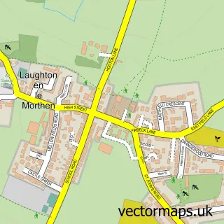
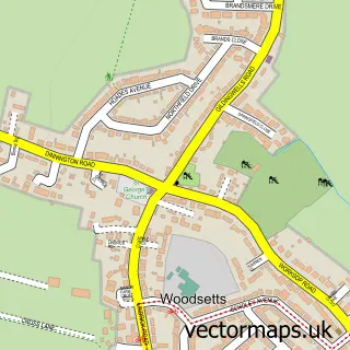
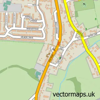
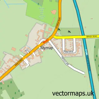
Nearby street map samples around Firbeck

Street map sample of Dinnington, South Yorkshire Dinnington Town - South Yorkshire - 2.4 miles Street map sample of Doncaster, South Yorkshire Doncaster City - South Yorkshire - 9.2 miles Street map sample of Letwell, South Yorkshire Letwell Village - South Yorkshire - 0.9 miles Street map sample of Langold, Nottinghamshire Langold Village - Nottinghamshire - 1.6 miles Street map sample of Oldcotes, Nottinghamshire Oldcotes Village - Nottinghamshire - 1.6 miles Street map sample of Laughton-en-le-Morthen, South Yorkshire Laughton-en-le-Morthen Village - South Yorkshire - 2.6 miles Street map sample of Woodsetts, South Yorkshire Woodsetts Village - South Yorkshire - 3.0 miles Street map sample of Carlton in Lindrick, Nottinghamshire Carlton in Lindrick Village - Nottinghamshire - 3.1 miles Street map sample of Styrrup, Nottinghamshire Styrrup Village - Nottinghamshire - 3.2 miles Street map sample of Stainton, South Yorkshire Stainton Village - South Yorkshire - 3.5 miles

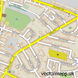
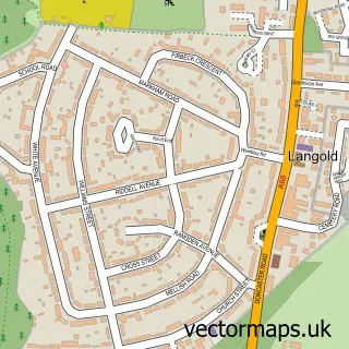
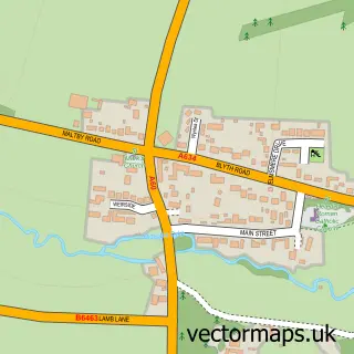
More street maps in South Yorkshire

Street map sample of Letwell, South Yorkshire Letwell Village - 0.9 miles Street map sample of Dinnington, South Yorkshire Dinnington Town - 2.4 miles Street map sample of Laughton-en-le-Morthen, South Yorkshire Laughton-en-le-Morthen Village - 2.6 miles Street map sample of Maltby, South Yorkshire Maltby Town - 2.9 miles Street map sample of Woodsetts, South Yorkshire Woodsetts Village - 3.0 miles

750 metre map area coverage

Boundary, postcode and point of interest information for the 750m x 750m rectangle centred on this sample map.

Boundaries containing map centre

Constituency: Rother Valley Co Const

District: Rotherham District (B)

Icb: NHS South Yorkshire ICB

Parish: Firbeck CP

Police Force: south yorkshire

Postcode District: S81

Postcode Sector: S81 8

Ward: Dinnington Ward

Nearby boundaries intersecting sample

No additional intersecting boundaries found.

Postcode coverage

S81 S81 8

POI category counts

Anglican Church: 1

Church Cathedral: 1

Dentist: 1

Electrician: 1

Food Beverage Service Distribution: 1

Furniture Store: 1

Gastropub: 1

Medical Supply: 1

Social Service Organizations: 1

Sample points of interest

  • St Martin's Anglican Church
  • St Martins Church, Firbeck Church Cathedral
  • Marcus Fasey - Horse Dentistry Dentist
  • Sterling Electrical Services Electrician
  • KKH Services Food Beverage Service Distribution
  • Pure Luxury Design Furniture Store
  • The Black Lion at Firbeck Gastropub
  • Isopharm Sentry Medical Supply
  • Parkhill Social Club Social Service Organizations

Create a larger editable map of Firbeck

This sample shows only a 750 metre area. To create a larger map of Firbeck, use our map builder to choose your own coverage area, add titles and download editable SVG, PDF and PNG files.

Create a custom map of Firbeck

Phone 01751 473136 | Copyright Vectormaps.uk 2026

Samples Customizer Privacy Disclaimer
Firbeck Vector Street Map
Firbeck enlarged street map sample showing a 750 metre preview area