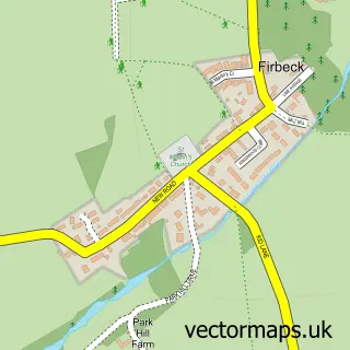
This Stainton street map is a detailed vector street map covering a 750m x 750m area. Select a larger area to create and download your own vector street map of Stainton.
The 750-metre map sample for Stainton covers 108 mapped buildings and approximately 12.9 km of road detail, of which 11 named roads are named. The immediate area includes 3 GP surgeries within 2 miles, 1 pub and 5 MOT stations within 2 miles. The wider area around Stainton features 1 tourism point of interest and 1 food and drink venue. To create a larger or custom map of Stainton, the map builder lets you define your own coverage area and download editable SVG, PDF and PNG files.
Create a larger editable map of Stainton
Choose any area you need and generate a high-quality vector map instantly. Perfect for print, planning, design, business and personal use.

This Stainton street map in South Yorkshire is available as downloadable SVG, PDF and PNG map files, or as a printed map for planning, business, display, education, local information and design work. You can also create a larger custom map area using the map selector.
What this Stainton map sample shows
Stainton lies within Stainton Cp parish, part of Tickhill & Wadsworth ward in the Doncaster District (B) local authority area. The postcode geography for this area includes the S postcode area, the S66 postcode district and the S66 7 postcode sector. Residents fall under the Nhs South Yorkshire Integrated Care Board for NHS services.
Local features near Stainton
Within 2 milesAmenities and services in and around Stainton.
Administrative and postcode information for Stainton
The local authority covering Stainton is Doncaster District (B), within the county of South Yorkshire. The settlement lies within Tickhill & Wadsworth ward and Stainton Cp civil parish. The S66 postcode district and S66 7 postcode sector serve the immediate area. NHS provision in the area is delivered through Doncaster And Bassetlaw Teaching Hospitals Nhs Foundation Trust.
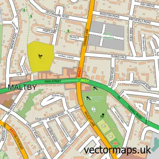
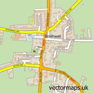
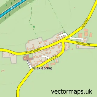
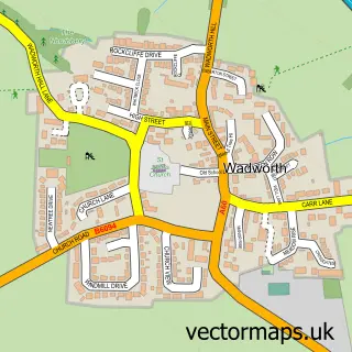
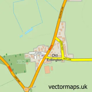
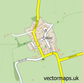
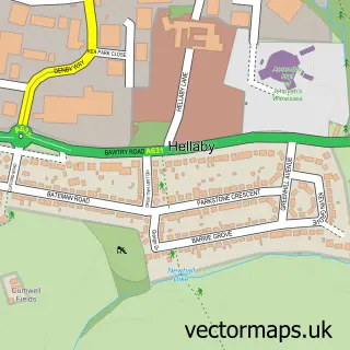
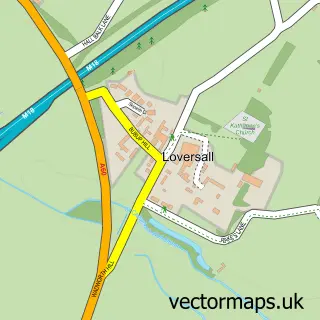
Nearby street map samples around Stainton

More street maps in South Yorkshire
750 metre map area coverage
Boundary, postcode and point of interest information for the 750m x 750m rectangle centred on this sample map.
Boundaries containing map centre
Constituency: Doncaster Central Co Const
District: Doncaster District (B)
Icb: NHS South Yorkshire ICB
Parish: Stainton CP
Police Force: south yorkshire
Postcode District: S66
Postcode Sector: S66 7
Ward: Tickhill & Wadsworth Ward
Nearby boundaries intersecting sample
No additional intersecting boundaries found.
Postcode coverage
POI category counts
Building Supply Store: 2
Marketing Consultant: 2
Anglican Church: 1
Commercial Industrial: 1
Employment Agencies: 1
Park: 1
Professional Services: 1
Pub: 1
Sample points of interest
- Stainton St Winifrid
- Breedon Rotherham (Holme Hall Quarry) — Aggregates
- Tarmac Maltby Blocks Plant
- Breedon Rotherham
- Charity Link
- Inspire2aspire
- Inspire2aspire
- Holme Hall Quarry
- Philip Watkins
- The Three Tuns
Create a larger editable map of Stainton
This sample shows only a 750 metre area. To create a larger map of Stainton, use our map builder to choose your own coverage area, add titles and download editable SVG, PDF and PNG files.
Create a custom map of Stainton