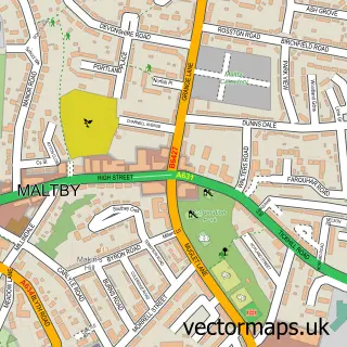
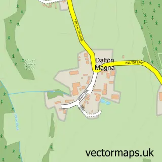
This Hellaby street map is a detailed vector street map covering a 750m x 750m area. Select a larger area to create and download your own vector street map of Hellaby.
The 750-metre map sample for Hellaby covers 242 mapped buildings and approximately 14.3 km of road detail, of which 16 named roads are named. The immediate area includes 6 GP surgeries within 2 miles and 13 MOT stations within 2 miles. The wider area around Hellaby features 3 food and drink venues and 1 hotel. To create a larger or custom map of Hellaby, the map builder lets you define your own coverage area and download editable SVG, PDF and PNG files.
Create a larger editable map of Hellaby
Choose any area you need and generate a high-quality vector map instantly. Perfect for print, planning, design, business and personal use.

This Hellaby street map in South Yorkshire is available as downloadable SVG, PDF and PNG map files, or as a printed map for planning, business, display, education, local information and design work. You can also create a larger custom map area using the map selector.
What this Hellaby map sample shows
Hellaby lies within Hellaby Cp parish, part of Hellaby ward in the Rotherham District (B) local authority area. The postcode geography for this area includes the S postcode area, the S66 postcode district and the S66 8 postcode sector. Residents fall under the Nhs South Yorkshire Integrated Care Board for NHS services.
Local features near Hellaby
Within 2 milesAmenities and services in and around Hellaby.
Administrative and postcode information for Hellaby
The local authority covering Hellaby is Rotherham District (B), within the county of South Yorkshire. The settlement lies within Hellaby ward and Hellaby Cp civil parish. The S66 postcode district and S66 8 postcode sector serve the immediate area. NHS provision in the area is delivered through The Rotherham Nhs Foundation Trust.
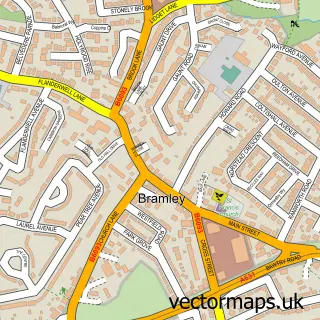
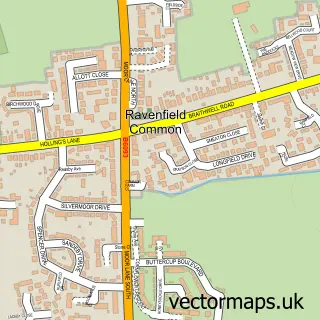
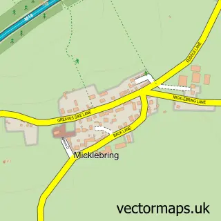
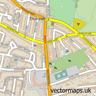
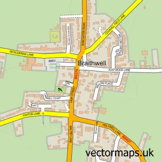
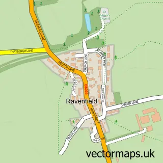
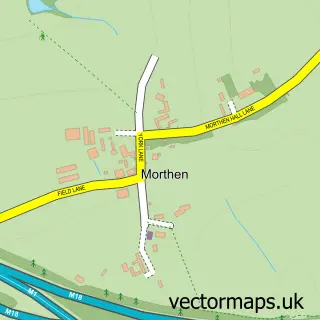
Nearby street map samples around Hellaby

More street maps in South Yorkshire
750 metre map area coverage
Boundary, postcode and point of interest information for the 750m x 750m rectangle centred on this sample map.
Boundaries containing map centre
Constituency: Rother Valley Co Const
District: Rotherham District (B)
Icb: NHS South Yorkshire ICB
Parish: Hellaby CP
Police Force: south yorkshire
Postcode District: S66
Postcode Sector: S66 8
Ward: Hellaby & Maltby West Ward
Nearby boundaries intersecting sample
Parish: Laughton-en-le-Morthen CP, Maltby CP
Ward: Dinnington Ward
Postcode coverage
POI category counts
Printing Equipment And Supply: 3
Professional Services: 3
Coffee Shop: 2
Community Center: 2
Education: 2
Industrial Equipment: 2
Storage Facility: 2
Advertising Agency: 1
Automotive Parts And Accessories: 1
Automotive Repair: 1
Sample points of interest
- Red SMS
- Digraph Transport Supplies Ltd
- 3 G Truck & Trailer Parts
- Wedding Vows
- Optare
- Acorn Industrial Services
- Tanyard Stationers
- GRT Motors
- East Pennine Assembly Hall
- Costa Coffee
- Costa Express
- JDSA Claims and Risk Management Limited
Create a larger editable map of Hellaby
This sample shows only a 750 metre area. To create a larger map of Hellaby, use our map builder to choose your own coverage area, add titles and download editable SVG, PDF and PNG files.
Create a custom map of Hellaby