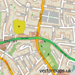
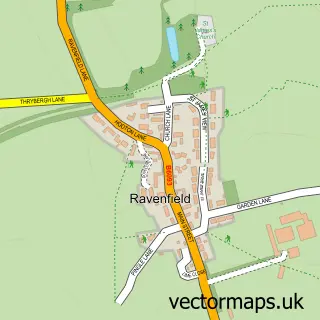
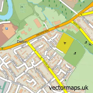
This Bramley street map is a detailed vector street map covering a 750m x 750m area. Select a larger area to create and download your own vector street map of Bramley.
The 750-metre map sample for Bramley covers 700 mapped buildings and approximately 33.2 km of road detail, of which 53 named roads are named. The immediate area includes 1 school, 2 GP surgeries within 2 miles, 3 pubs and 10 MOT stations within 2 miles. The wider area around Bramley features 5 food and drink venues and 2 hotels. To create a larger or custom map of Bramley, the map builder lets you define your own coverage area and download editable SVG, PDF and PNG files.
Create a larger editable map of Bramley
Choose any area you need and generate a high-quality vector map instantly. Perfect for print, planning, design, business and personal use.

This Bramley street map in South Yorkshire is available as downloadable SVG, PDF and PNG map files, or as a printed map for planning, business, display, education, local information and design work. You can also create a larger custom map area using the map selector.
What this Bramley map sample shows
Bramley lies within Bramley Cp parish, part of Wickersley ward in the Rotherham District (B) local authority area. The postcode geography for this area includes the S postcode area, the S66 postcode district and the S66 2 postcode sector. Residents fall under the Nhs South Yorkshire Integrated Care Board for NHS services.
Local features near Bramley
Within 2 milesAmenities and services in and around Bramley.
Administrative and postcode information for Bramley
The local authority covering Bramley is Rotherham District (B), within the county of South Yorkshire. The settlement lies within Wickersley ward and Bramley Cp civil parish. The S66 postcode district and S66 2 postcode sector serve the immediate area. NHS provision in the area is delivered through The Rotherham Nhs Foundation Trust.
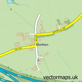
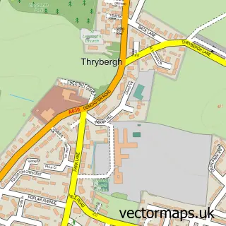
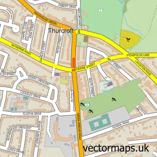
Nearby street map samples around Bramley

More street maps in South Yorkshire
750 metre map area coverage
Boundary, postcode and point of interest information for the 750m x 750m rectangle centred on this sample map.
Boundaries containing map centre
Constituency: Rawmarsh and Conisbrough Co Const
District: Rotherham District (B)
Icb: NHS South Yorkshire ICB
Parish: Bramley CP
Police Force: south yorkshire
Postcode District: S66
Postcode Sector: S66 2
Ward: Bramley & Ravenfield Ward
Nearby boundaries intersecting sample
Constituency: Rotherham Boro Const
Parish: Wickersley CP
Postcode District: S65
Postcode Sector: S65 4, S66 1, S66 3
Ward: Wickersley North Ward
Postcode coverage
POI category counts
Tattoo And Piercing: 5
Beauty Salon: 4
Convenience Store: 4
Hair Salon: 4
Advertising Agency: 3
Barber: 3
Beauty And Spa: 3
Jewelry Store: 3
Nail Salon: 3
Pub: 3
Sample points of interest
- Elite Taekwondo
- YWCA Yorkshire
- Emedia Brand Design
- Expert Web
- V-inspired Marketing
- St Francis, Bramley
- Baber Cookers & Refrigeration
- The Mews
- JCR Bramley
- Payzone
- Designer Global
- The Travellers Bramley
Create a larger editable map of Bramley
This sample shows only a 750 metre area. To create a larger map of Bramley, use our map builder to choose your own coverage area, add titles and download editable SVG, PDF and PNG files.
Create a custom map of Bramley