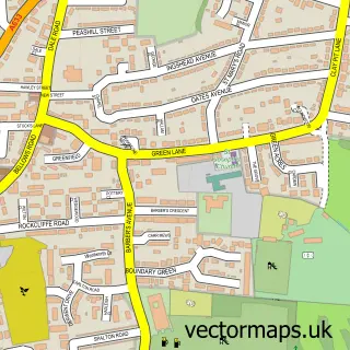
This Thrybergh street map is a detailed vector street map covering a 750m x 750m area. Select a larger area to create and download your own vector street map of Thrybergh.
The 750-metre map sample for Thrybergh covers 283 mapped buildings and approximately 21.2 km of road detail, of which 36 named roads are named. The immediate area includes 1 primary school and 1 secondary school, 3 GP surgeries within 2 miles and 16 MOT stations within 2 miles. The wider area around Thrybergh features 1 campsite within 2 miles. To create a larger or custom map of Thrybergh, the map builder lets you define your own coverage area and download editable SVG, PDF and PNG files.
Create a larger editable map of Thrybergh
Choose any area you need and generate a high-quality vector map instantly. Perfect for print, planning, design, business and personal use.

This Thrybergh street map in South Yorkshire is available as downloadable SVG, PDF and PNG map files, or as a printed map for planning, business, display, education, local information and design work. You can also create a larger custom map area using the map selector.
What this Thrybergh map sample shows
Thrybergh lies within Thrybergh Cp parish, part of Valley ward in the Rotherham District (B) local authority area. The postcode geography for this area includes the S postcode area, the S65 postcode district and the S65 4 postcode sector. Residents fall under the Nhs South Yorkshire Integrated Care Board for NHS services.
Local features near Thrybergh
Within 2 milesAmenities and services in and around Thrybergh.
Administrative and postcode information for Thrybergh
The local authority covering Thrybergh is Rotherham District (B), within the county of South Yorkshire. The settlement lies within Valley ward and Thrybergh Cp civil parish. The S65 postcode district and S65 4 postcode sector serve the immediate area. NHS provision in the area is delivered through The Rotherham Nhs Foundation Trust.
Nearby street map samples around Thrybergh

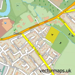
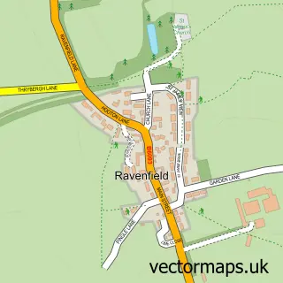
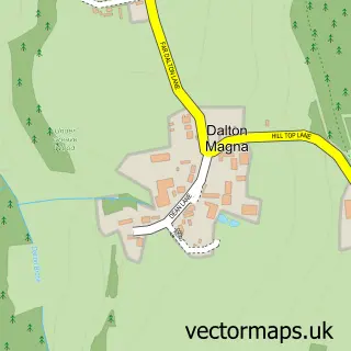
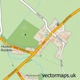
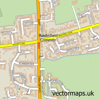
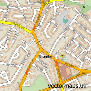
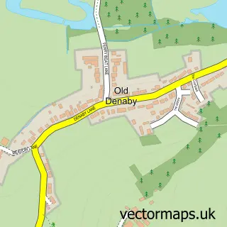
More street maps in South Yorkshire
750 metre map area coverage
Boundary, postcode and point of interest information for the 750m x 750m rectangle centred on this sample map.
Boundaries containing map centre
Constituency: Rotherham Boro Const
District: Rotherham District (B)
Icb: NHS South Yorkshire ICB
Parish: Thrybergh CP
Police Force: south yorkshire
Postcode District: S65
Postcode Sector: S65 4
Ward: Dalton & Thrybergh Ward
Nearby boundaries intersecting sample
No additional intersecting boundaries found.
Postcode coverage
POI category counts
Church Cathedral: 3
Anglican Church: 2
Bar: 2
Home Service: 2
Active Life: 1
Auto Detailing: 1
Auto Electrical Repair: 1
Beauty Salon: 1
Drugstore: 1
E Cigarette Store: 1
Sample points of interest
- Diddikicks® Thrybergh
- St Leonard Thrybergh Rotherham
- Thrybergh Church Hall
- Shine Wizard
- R B Electrical & Security
- Deer Park Tap
- The Fullerton
- Gem Beauty | Rotherham
- St Leonard's Church, Thrybergh
- St. Leonard's Church
- Thrybergh Parish Church
- The Co-operative Pharmacy
Create a larger editable map of Thrybergh
This sample shows only a 750 metre area. To create a larger map of Thrybergh, use our map builder to choose your own coverage area, add titles and download editable SVG, PDF and PNG files.
Create a custom map of Thrybergh